Marker Logo HMdb.org THE HISTORICAL
MARKER DATABASE
“Bite-Size Bits of Local, National, and Global History”
Near Waxahachie in Ellis County, Texas — The American South (West South Central)
 

Rutherford's Crossing Bridge


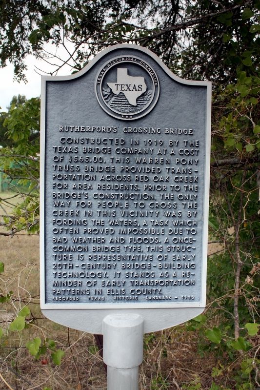
Rutherford's Crossing Bridge Marker image. Click for full size.
Photographed By Craig Baker, April 6, 2024
1. Rutherford's Crossing Bridge Marker
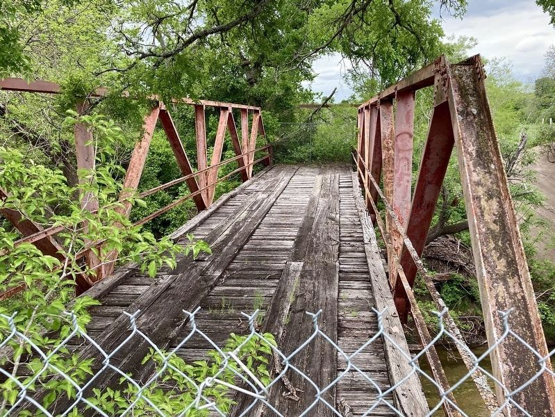
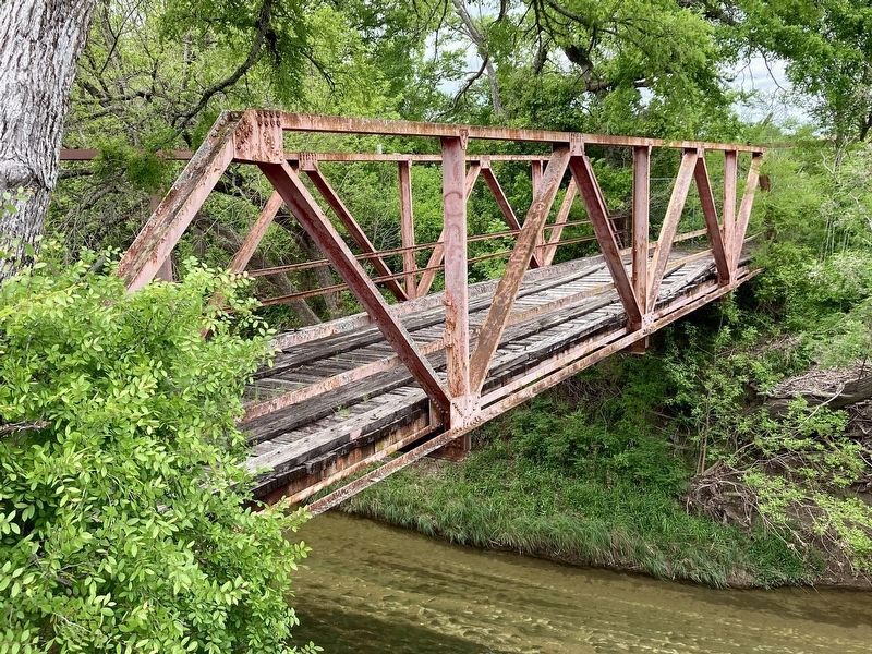
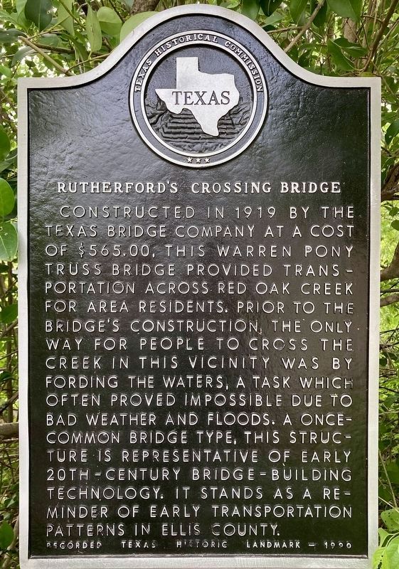
Inscription. Constructed in 1919 by the Texas Bridge Company at a cost of $565.00, this Warren Pony truss bridge provided transportation across Red Oak Creek for area residents. Prior to the bridge's construction, the only way for people to cross the creek in this vicinity was by fording the waters, a task which often proved impossible due to bad weather and floods. A once-common bridge type, this structure is representative of early 20th century bridge building technology. It stands as a reminder of early transportation patterns in Ellis County.
Recorded Texas Historic Landmark — 1990

 
Erected 1990 by Texas Historical Commission. (Marker Number 7144.)
 
Topics. This historical marker is listed in this topic list: Bridges & Viaducts. A significant historical year for this entry is 1919.
 
Location. 32° 26.898′ N, 96° 44.47′ W. Marker is near Waxahachie, Texas, in Ellis County. Marker is on Rutherford Road, ¼ mile south of Farrar Road, on the right when traveling south. Touch for map. Marker is at or near this postal address: 262 Rutherford Rd, Waxahachie TX 75165, United States of America. Touch for directions.
 
Other nearby markers. At least 8 other markers are within 6 miles of this marker, measured as the crow flies. Smith Cemetery (approx. half a mile away); Graves Cemetery (approx. 2.2 miles away); Bell's Chapel Cemetery (approx.
Paid Advertisement
Click on the ad for more information.
Please report objectionable advertising to the Editor.
Click or scan to see
this page online
3.3 miles away); Harkey-Payne House (approx. 4.2 miles away); First Christian Church of Palmer (approx. 4.4 miles away); First Baptist Church of Palmer (approx. 4.4 miles away); Red Oak Cemetery (approx. 5½ miles away); First Baptist Church Of Waxahachie (approx. 5½ miles away). Touch for a list and map of all markers in Waxahachie.
 
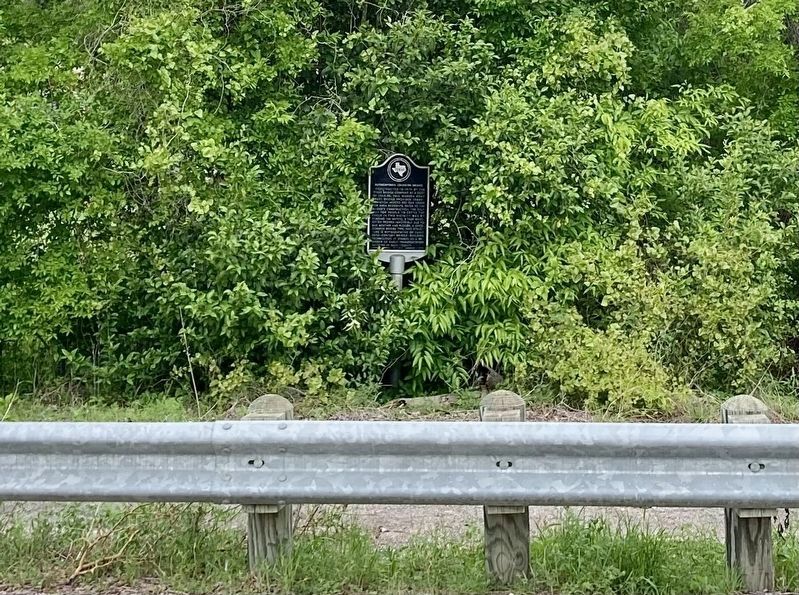
Rutherford's Crossing Bridge Marker image. Click for full size.
cmh2315fl via Flickr (CC BY-NC 2.0), August 14, 2009
2. Rutherford's Crossing Bridge Marker
Rutherford's Crossing Bridge image. Click for full size.
cmh2315fl via Flickr (CC BY-NC 2.0), August 14, 2009
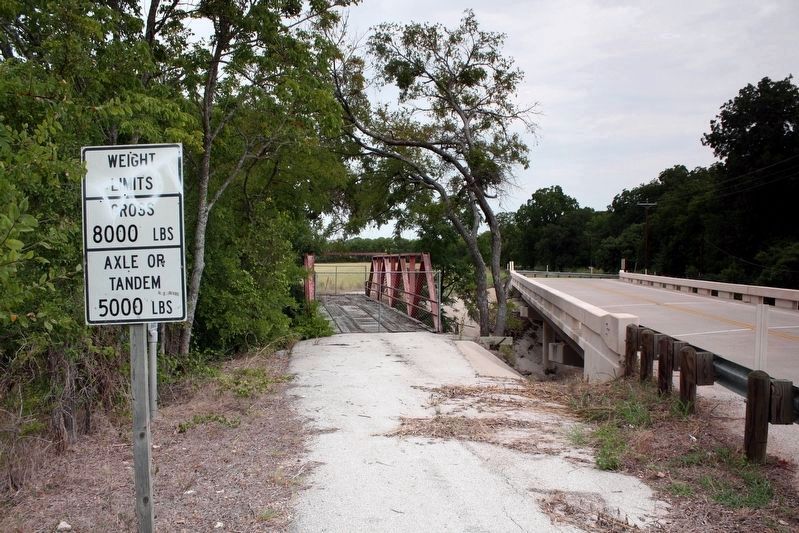
3. Rutherford's Crossing Bridge
The marker is behind the Weight Limits sign.
Rutherford's Crossing Bridge Marker image. Click for full size.
Photographed By Craig Baker, April 6, 2024
4. Rutherford's Crossing Bridge Marker
Rutherford's Crossing Bridge image. Click for full size.
Photographed By Craig Baker, April 6, 2024
5. Rutherford's Crossing Bridge
Rutherford's Crossing Bridge image. Click for full size.
Photographed By Craig Baker, April 6, 2024
6. Rutherford's Crossing Bridge
 
 
Credits. This page was last revised on April 9, 2024. It was originally submitted on May 27, 2022, by Duane and Tracy Marsteller of Murfreesboro, Tennessee. This page has been viewed 224 times since then and 35 times this year. Photos:   1. submitted on April 7, 2024, by Craig Baker of Sylmar, California.   2, 3. submitted on May 27, 2022, by Duane and Tracy Marsteller of Murfreesboro, Tennessee.   4, 5, 6. submitted on April 7, 2024, by Craig Baker of Sylmar, California.
Share this page.  
Share on Tumblr
m=198720

CeraNet Cloud Computing sponsors the Historical Marker Database.
This website earns income from purchases you make after using our links to Amazon.com. We appreciate your support.
Paid Advertisement
Apr. 23, 2024