Waco in McLennan County, Texas — The American South (West South Central)
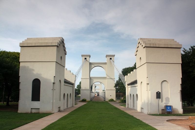
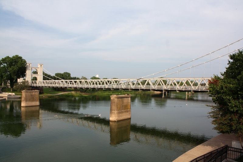
Waco Suspension Bridge
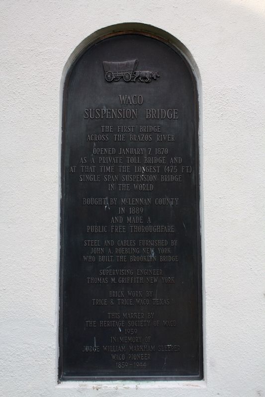
Opened January 7, 1870 as a private toll bridge and at that time the longest (475 ft.) single span suspension bridge in the world
Bought by McLennan County in 1889 and made a public free thoroughfare
Steel and cables furnished by John A. Roebling, New York who built the Brooklyn Bridge
Supervising Engineer Thomas M. Griffith, New York
Brick work by Trice & Trice, Waco, Texas
This marker by the Heritage Society of Waco 1959 in memory of Judge William Markham Sleeper, Waco Pioneer, 1859-1944
Erected 1959 by The Heritage Society of Waco.
Topics. This historical marker is listed in this topic list: Bridges & Viaducts. A significant historical date for this entry is January 7, 1870.
Location. 31° 33.619′ N, 97° 7.676′ W. Marker is in Waco, Texas, in McLennan County. Marker can be reached from North University Parks Drive, 0.1 miles north of Franklin Avenue, on the right when traveling north. Marker is on the left bridge anchorage in Indian Spring Park. Touch for map. Marker is at or near this postal address: 101 N University Parks Dr, Waco TX 76701, United States of America. Touch for directions.
Other nearby markers. At least 8 other markers are within walking distance of this marker. A different marker also named The Waco Suspension Bridge (a few steps from this marker); Waco Spring (within shouting distance of this marker); Jacob de Cordova (within shouting distance of this marker); Veterans Plaza (about 500 feet away, measured in a direct line); Vietnam Veterans Memorial (about 600 feet away); Washington Avenue Bridge at Brazos River (about 700 feet away); a different marker also named The Waco Suspension Bridge (approx. 0.2 miles away); Going Up The Chisholm Trail (approx. 0.2 miles away). Touch for a list and map of all markers in Waco.
Also see . . . Waco Suspension Bridge. The bridge was an economic boon for the city and the private company that built and operated it: Enough toll revenue was collected in the first year to pay off the bridge's mortgage. (Caleb Vinson and Amanda Sawyer, Waco History) (Submitted on May 27, 2022, by Duane and Tracy Marsteller of Murfreesboro, Tennessee.)

cmh2315fl via Flickr (CC BY-NC 2.0), August 13, 2009
2. Waco Suspension Bridge Marker
Featured marker is on left anchorage.
Credits. This page was last revised on May 27, 2022. It was originally submitted on May 27, 2022, by Duane and Tracy Marsteller of Murfreesboro, Tennessee. This page has been viewed 271 times since then and 36 times this year. Photos: 1, 2, 3. submitted on May 27, 2022, by Duane and Tracy Marsteller of Murfreesboro, Tennessee.

