Near Nathalie in Halifax County, Virginia — The American South (Mid-Atlantic)
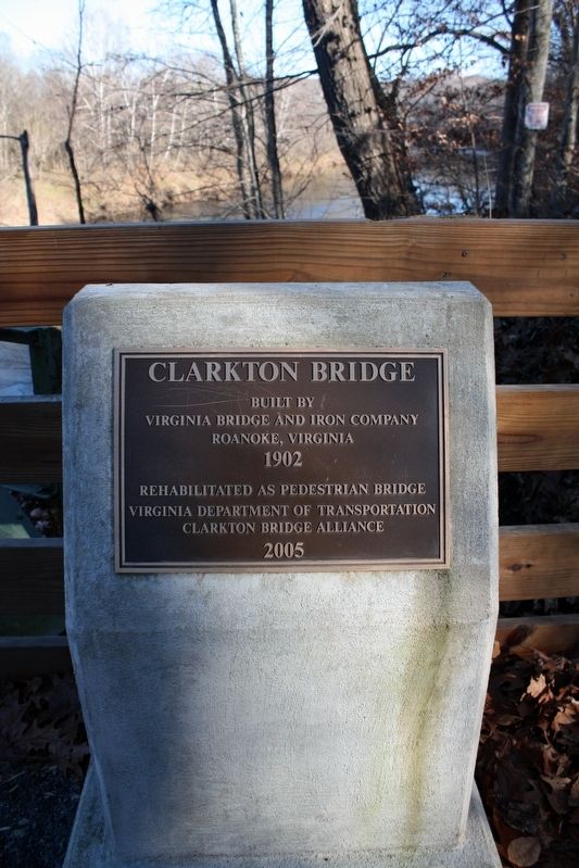
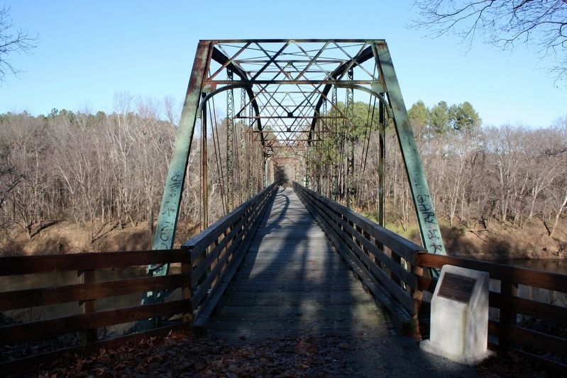
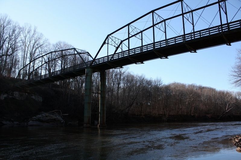
Clarkton Bridge
Virginia Bridge and Iron Company
Roanoke, Virginia
1902
Rehabilitated as pedestrian bridge
Virginia Department of Transportation
Clarkton Bridge Alliance
2005
Topics. This historical marker is listed in this topic list: Bridges & Viaducts. A significant historical year for this entry is 1902.
Location. 36° 58.642′ N, 78° 53.836′ W. Marker is near Nathalie, Virginia, in Halifax County. Marker is on Narrow Bridge Road, 0.1 miles north of Clarkton Road (County Road 626), on the right when traveling north. Narrow Bridge Road becomes pedestrian-only about 100 feet from Clarkton Road. Touch for map. Marker is in this post office area: Nathalie VA 24577, United States of America. Touch for directions.
Other nearby markers. At least 8 other markers are within 4 miles of this marker, measured as the crow flies. Red Hill Plantation (approx. 3.7 miles away); Red Hill Scatter Garden (approx. 3.7 miles away); Slave Cabin (approx. 3.8 miles away); Osage Orange Tree (approx. 3.8 miles away); Patrick Henry House (approx. 3.8 miles away); Last Law Office of Patrick Henry (approx. 3.8 miles away); Henry Family Graveyard (approx. 3.8 miles away); Red Hill (approx. 3.9 miles away).
Regarding Clarkton Bridge. The bridge, which had a history of structural issues (as detailed in its National Register of Historic Places nomination), was demolished in 2018. An excerpt from the nomination:
The Clarkton Bridge derives its name from the Clark family, their plantation, and the village of the same name. There do not appear to have been any earlier bridges, ferries, or fords at this exact location. John Clark was a wealthy landowner who lived near Randolph in Halifax County. On his death in 1827, he left an estate of half a million dollars and a provision in his will to purchase plantations for his children. His son, Charles Adophus Clark (1821-1859), bought the "Rosebank" plantation on the Staunton River in Halifax County from the Yuille family; it was the only river plantation available at the time. Just before he married Eliza Ann Spraggins (1821-1897) in 1846, Charles Clark built "Hovelock" on the crest of a ridge about a mile and a quarter from the river (on present Route 632). …
After Charles Clark died in 1858, his widow, Eliza, managed the estate until it was inherited by their son, Thomas (1851-1919). Thomas added nearly 400 acres of land on both the Charlotte and Halifax sides of the Staunton River to the 5,600 acres he had inherited, making the plantation one of the largest bright tobacco farms in Halifax County. Corn and cattle were also raised on the farm. Thomas Clark conveyed the Lynchburg and Durham Railroad (present Norfolk and WesternRailway) a right-of-way through his plantation in 1889 in exchange for the construction of a station and express office. At his request, the station was named Clarkton and he also changed the name of his house to Clarkton. …
Also see . . . Clarkton Bridge (PDF). National Register of Historic Places nomination for the bridge, which was listed in 2007. (Virginia DHR) (Submitted on May 27, 2022, by Duane and Tracy Marsteller of Murfreesboro, Tennessee.)
Credits. This page was last revised on May 27, 2022. It was originally submitted on May 27, 2022, by Duane and Tracy Marsteller of Murfreesboro, Tennessee. This page has been viewed 141 times since then and 26 times this year. Photos: 1, 2, 3. submitted on May 27, 2022, by Duane and Tracy Marsteller of Murfreesboro, Tennessee.


