
Midtown - Westport in Kansas City in Jackson County, Missouri — The American Midwest (Upper Plains)
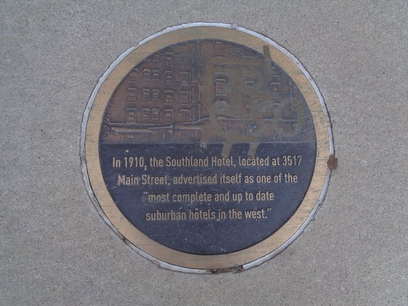
Southland Hotel
Photographed by Jason Voigt, May 23, 2022
1. Southland Hotel Marker
sidewalk plaque
Topics. This historical marker is listed in this topic list: Industry & Commerce. A significant historical year for this entry is 1910.
Location. 39° 3.771′ N, 94° 35.137′ W. Marker is in Kansas City, Missouri, in Jackson County. It is in Midtown - Westport. It is on Main Street north of East 36th Street. Touch for map. Marker is at or near this postal address: 3517 Main St, Kansas City MO 64111, United States of America. Touch for directions.

Regionally, this marker is in the American Midwest, in the Lewis & Clark Corridor, in the Corn Belt, and on the Santa Fe Trail Corridor. Globally, it is in North America, the Western Hemisphere, the Western World, and the Anglosphere. Historically, it finds itself in what was once the territory of the Mississippian Culture, the Louisiana Purchase, and the Antebellum South.
Other nearby markers. At least 8 other markers are within walking distance of this marker: Hostess Brands (about 300 feet away, measured in a direct line);
this page online
Another marker is no longer nearby. Janssen Place Historic District (was approx. 0.4 miles away but has been permanently removed).
Photographed by Jason Voigt, May 23, 2022
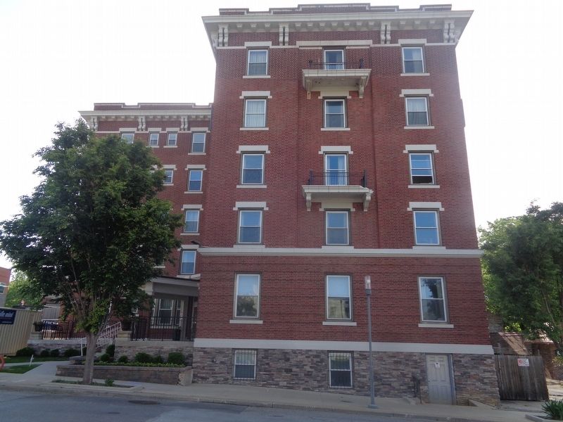
2. Southland Hotel Marker
Marker is outside Quality Inn & Suites.
Credits. This page was last revised on February 10, 2023. It was originally submitted on May 28, 2022, by Jason Voigt of Glen Carbon, Illinois. This page has been viewed 983 times since then and 92 times this year. Photos: 1, 2. submitted on May 28, 2022, by Jason Voigt of Glen Carbon, Illinois.
