Near Murray Harbour in Kings County, Prince Edward Island — The Atlantic Provinces (North America)
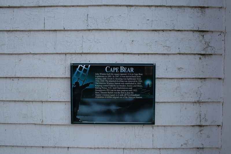
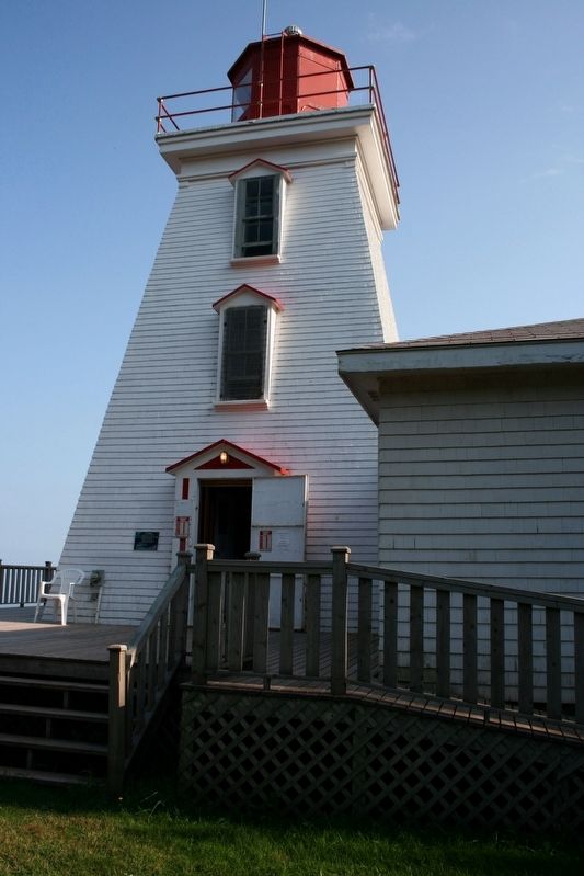
Cape Bear
Topics and series. This historical marker is listed in these topic lists: Communications • Disasters • Waterways & Vessels. In addition, it is included in the Lighthouses series list. A significant historical year for this entry is 1881.
Location. 46° 0.221′ N, 62° 27.469′ W. Marker is near Murray Harbour, Prince Edward Island, in Kings County. Marker can be reached from Black Brook Road, 0.3 kilometers north of Cape Bear Road (Prince Edward Island Route 18), on the right when traveling north. Touch for map. Marker is at or near this postal address: 42 Black Brook Rd, Murray Harbour PE C0A 1V0, Canada. Touch for directions.
Other nearby markers. At least 8 other markers are within 21 kilometers of this marker, measured as the crow flies. Murray Harbour War Memorial (approx. 4.8 kilometers away); The “Harbour” / Le « Harbour » (approx. 5.1 kilometers away); Cape Bear Lighthouse / Phare de Cape Bear (approx. 5.4 kilometers away); Getting the Train to the Track / L’Arrivée du Train sur la Voie Ferrée (approx. 5.4 kilometers away); The Fishery at Murray Harbour / La Pêche À Murray Harbour (approx. 5.4 kilometers away); The Murray Harbour Branch / L’Embranchement Menant À Murray Harbour (approx. 11.7 kilometers away); Georgetown’s New Railway Station (approx. 20.6 kilometers away); Three Rivers (approx. 20.6 kilometers away). Touch for a list and map of all markers in Murray Harbour.
Also see . . .
1. Cape Bear Lighthouse. History, details and photographs of the lighthouse. (Lighthouse Freinds) (Submitted on May 28, 2022, by Duane and Tracy Marsteller of Murfreesboro, Tennessee.)
2. Cape Bear Lighthouse. Description, heritage value and character-defining elements of the beacon. (Parks Canada) (Submitted on May 28, 2022, by Duane and Tracy Marsteller of Murfreesboro, Tennessee.)
Credits. This page was last revised on June 11, 2022. It was originally submitted on May 28, 2022, by Duane and Tracy Marsteller of Murfreesboro, Tennessee. This page has been viewed 73 times since then and 11 times this year. Photos: 1, 2. submitted on May 28, 2022, by Duane and Tracy Marsteller of Murfreesboro, Tennessee.

