Brandon in Minnehaha County, South Dakota — The American Midwest (Upper Plains)
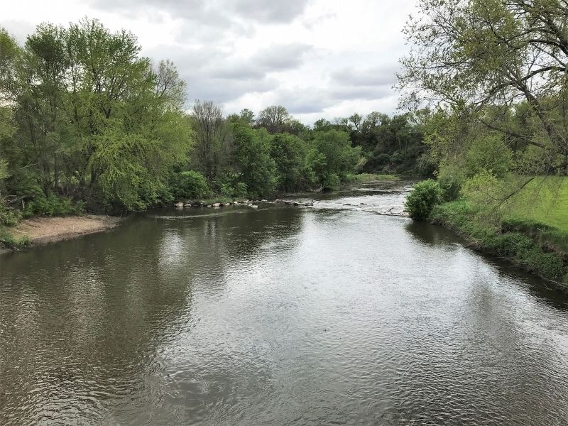
Split Rock Creek Tragedy
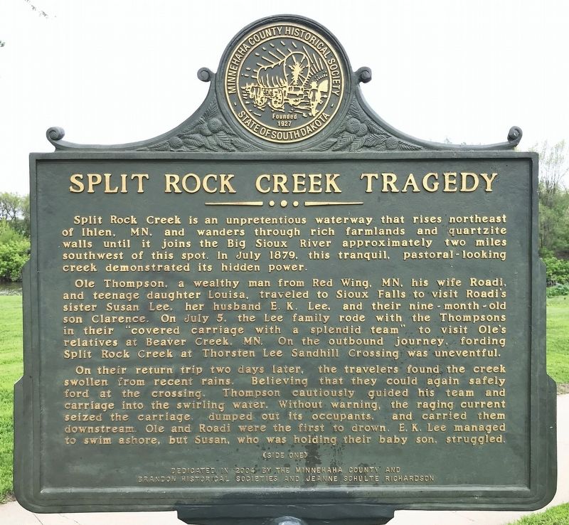
Ole Thompson, a wealthy man from Red Wing, MN, his wife Roadi, and teenage daughter Louisa, traveled to Sioux Falls to visit Roadi's sister Susan Lee, her husband E. K. Lee, and their nine-month-old son Clarence. On July 5, the Lee family rode with the Thompsons in their "covered carriage with a splendid team" to visit Ole's relatives at Beaver Creek, MN. On the outbound journey, fording Split Rock Creek at Thorsten Lee Sandhill Crossing was uneventful.
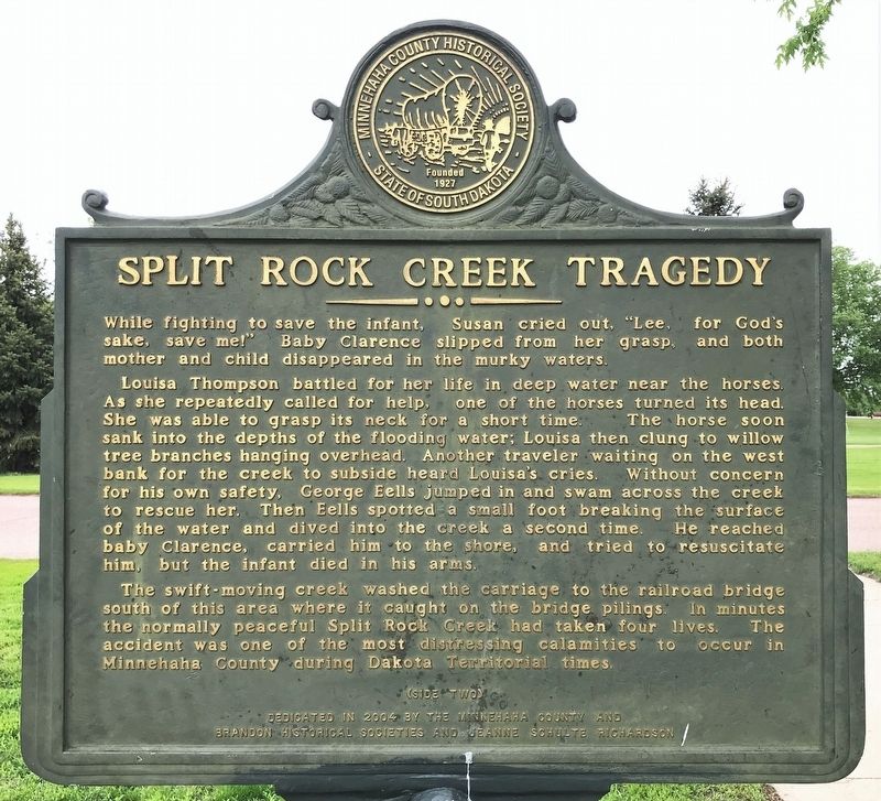
On their return trip two days later, the travelers found the creek swollen from recent rains. Believing that they could again safely ford at the crossing, Thompson cautiously guided his team and carriage into the swirling water. Without warning, the raging current seized the carriage, dumped out its occupants, and carried them downstream. Ole and Roadi were the first to drown. E. K. Lee managed to swim ashore, but Susan, who was holding their baby son, struggled. While fighting to save the infant, Susan cried out, "Lee, for God's sake, save me!" Baby Clarence slipped from her grasp, and both mother and child disappeared in the murky waters.
Louisa Thompson battled for her life in deep water near the horses. As she repeatedly called for help, one of the horses turned its head. She was able to grasp its neck for a short time. The horse soon sank into the depths of the flooding water; Louisa then clung to willow tree branches hanging overhead. Another traveler waiting on the west bank for the creek to subside heard Louisa's cries. Without concern for his own safety, George Eells jumped in and swam across the creek to rescue her. Then Eells spotted a small foot breaking the surface of the water and dived into the creek a second time. He reached baby Clarence, carried him to the shore, and tried to resuscitate him, but the infant died in his arms.
The swift-moving creek washed the carriage to the railroad bridge south of this area where it caught on the bridge pilings. In minutes the normally peaceful Split Rock Creek had taken four lives. The accident was one of the most distressing calamities to occur in Minnehaha County during Dakota Territorial times.
Erected 2004 by the Minnehaha County and Brandon Historical Societies and Jeanne Schulte Richardson.
Topics. This historical marker is listed in these topic lists: Disasters • Settlements & Settlers • Waterways & Vessels. A significant historical date for this entry is July 7, 1879.
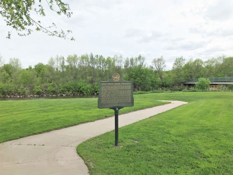
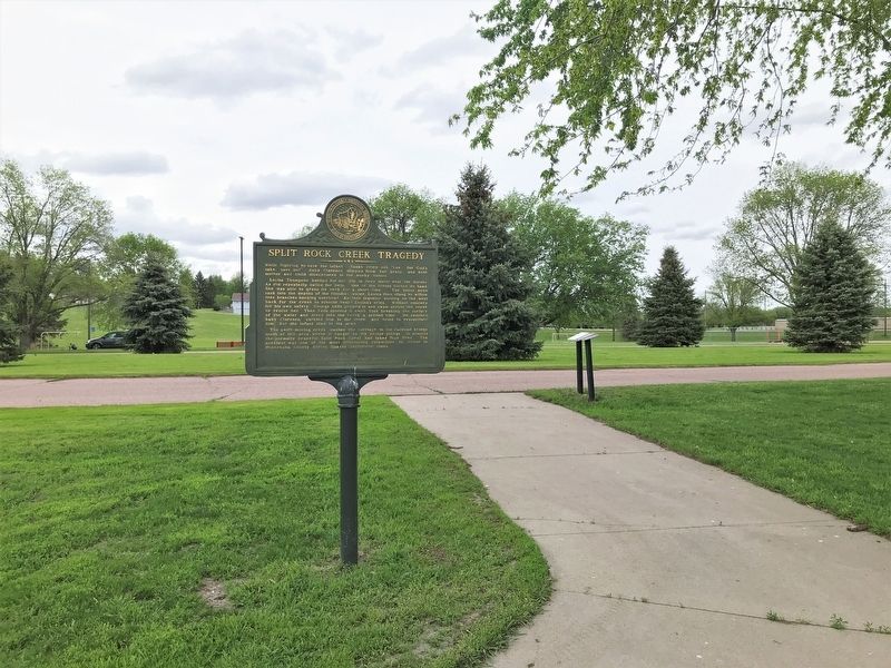
Location. 43° 35.219′ N, 96° 34.152′ W. Marker is in Brandon, South Dakota, in Minnehaha County. Marker can be reached from South McHardy Road, 0.1 miles south of East Aspen Boulevard, on the right when traveling south. Located in McHardy Park in Brandon. Touch for map. Marker is in this post office area: Brandon SD 57005, United States of America. Touch for directions.
Other nearby markers. At least 8 other markers are within 2 miles of this marker, measured as the crow flies. McHardy Park (within shouting distance of this marker); Fur Trapper Ambush (about 300 feet away, measured in a direct line); The City of Brandon (approx. 0.2 miles away); Brandon Veteran's Memorial (approx. 0.2 miles away); Nels Nelson Graff Cabin (approx. 0.7 miles away); 1916 Brandon School (approx. 0.9 miles away); Bergeson’s Homestead (approx. 1˝ miles away); Fortified Village (approx. 1.9 miles away). Touch for a list and map of all markers in Brandon.
Credits. This page was last revised on May 29, 2022. It was originally submitted on May 29, 2022. This page has been viewed 357 times since then and 83 times this year. Photos: 1, 2, 3, 4, 5. submitted on May 29, 2022.
