Brandon in Minnehaha County, South Dakota — The American Midwest (Upper Plains)
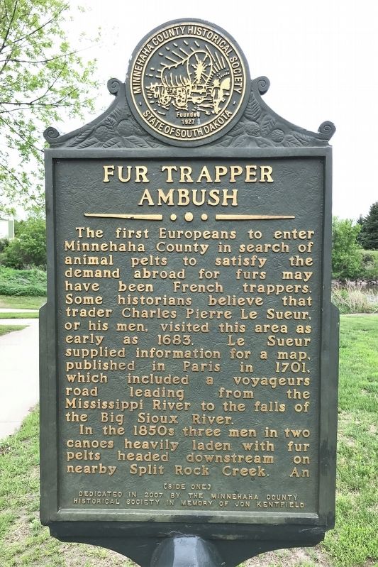
Fur Trapper Ambush
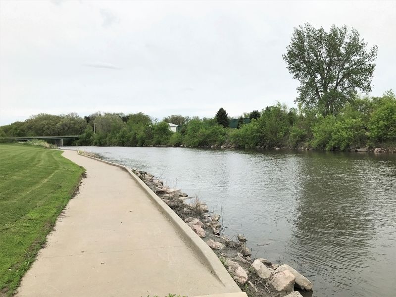
In the 1850s three men in two canoes heavily laden with fur pelts headed downstream on nearby Split Rock Creek. An Indian warrior shot an arrow from ambush killing trapper Morgan in the lead canoe. Trapper White quickly fired his rifle and killed the warrior. After burying Morgan, White scalped the dead warrior and tacked his scalp to a tree as a warning.
The two remaining trappers then continued downstream to Sioux City. Years later, White returned to the ambush scene to place a marker near Morgan's grave. The exact location of the burial site was lost when the marker was removed by road builders in the 1930s.
Erected 2007 by the Minnehaha County Historical Society in memory of Jon Kentfield.
Topics. This historical marker is listed in these topic lists: Settlements & Settlers • Waterways & Vessels. A significant historical year for this entry is 1850.
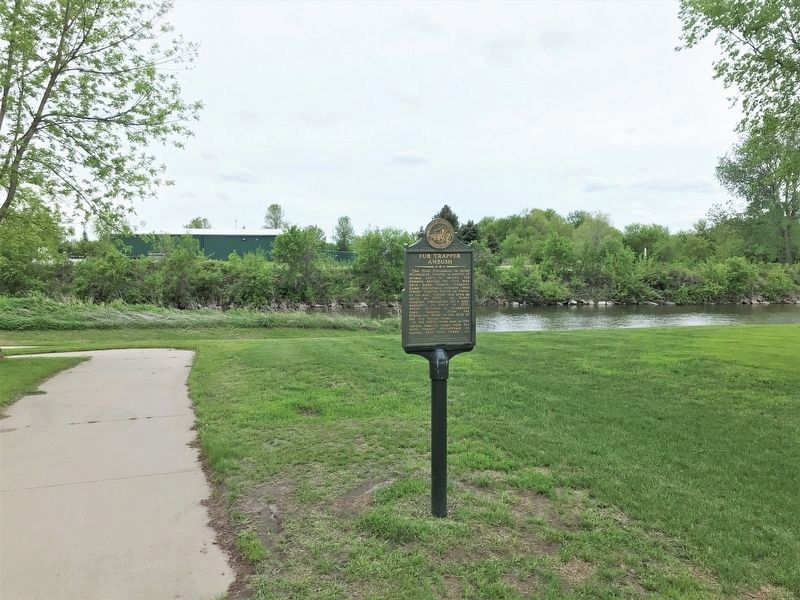
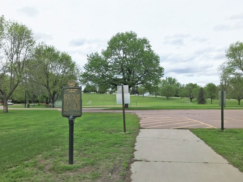
Location. 43° 35.198′ N, 96° 34.084′ W. Marker is in Brandon, South Dakota, in Minnehaha County. Marker can be reached from South McHardy Road, 0.1 miles south of East Aspen Boulevard, on the right when traveling south. Located in McHardy Park in Brandon. Touch for map. Marker is in this post office area: Brandon SD 57005, United States of America. Touch for directions.
Other nearby markers. At least 8 other markers are within 2 miles of this marker, measured as the crow flies. McHardy Park (within shouting distance of this marker); Split Rock Creek Tragedy (about 300 feet away, measured in a direct line); The City of Brandon (approx. 0.2 miles away); Brandon Veteran's Memorial (approx. ¼ mile away); Nels Nelson Graff Cabin (approx. 0.7 miles away); 1916 Brandon School (approx. 0.9 miles away); Bergeson’s Homestead (approx. 1.6 miles away); Fortified Village (approx. 1.9 miles away). Touch for a list and map of all markers in Brandon.
Credits. This page was last revised on May 29, 2022. It was originally submitted on May 29, 2022. This page has been viewed 260 times since then and 50 times this year. Photos: 1, 2, 3, 4, 5. submitted on May 29, 2022.


