Sioux Falls in Minnehaha County, South Dakota — The American Midwest (Upper Plains)
bud
May 23, 2022
1. bud Marker
header:
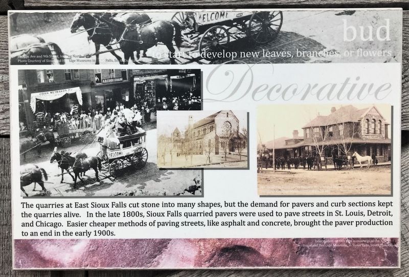
Phillips Ave and 9th Street, looking North, 1886.
Photo Courtesy of Siouxland Heritage Museums in Sioux Falls, South Dakota.
Decorative
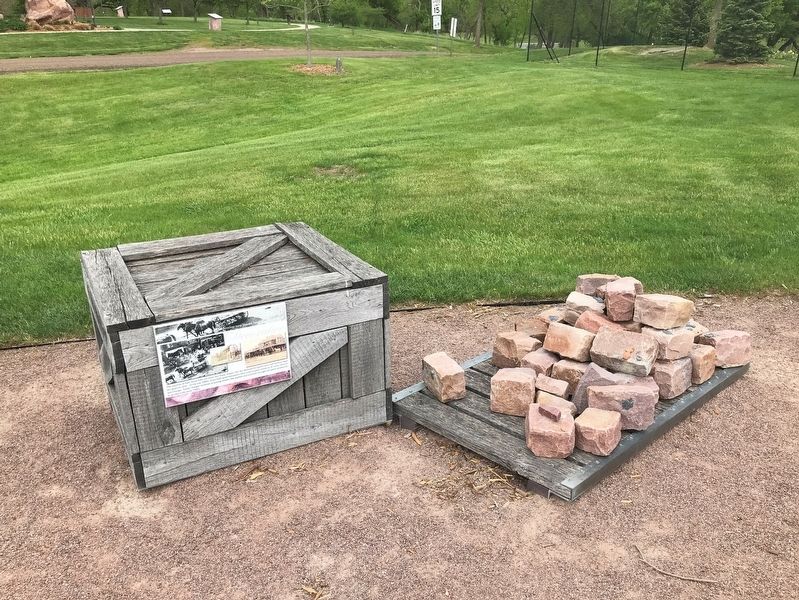
The quarries at East Sioux Falls cut stone into many shapes, but the demand for pavers and curb sections kept the quarries alive. In the late 1800s, Sioux Falls quarried pavers were used to pave streets in St. Louis, Detroit, and Chicago. Easier cheaper methods of paving streets, like asphalt and concrete, brought the paver production to an end in the early 1900s.
photos:
Quartzite paved Phillips Ave. Photo courtesy of Siouxland Heritage Museums in Sioux Falls, SD.
Wooden Sidewalks in Front of the Historic St. Augusta Cathedral. Photo Courtesy of Siouxland Heritage Museums [SHM 41.15.98]
Dirt Streets in Front of the Historic Rock Island Depot. Photo Courtesy of Siouxland Heritage Museums [SHM 80.20.18].
Information on this sign is courtesy of the Siouxland Heritage Museums in Sioux Falls, South Dakota.
Topics. This historical marker is listed in this topic list: Industry & Commerce.
Location. 43° 31.634′ N,
this page online

Regionally, this marker is in East River. It is also in the American Midwest, in the Lewis & Clark Corridor, in the Corn Belt, on the prairies, and on the Northern Plains. Globally, it is in North America, the Western Hemisphere, the Western World, and the Anglosphere. Historically, it finds itself in what was once Rupert’s Land and also the Louisiana Purchase.
Other nearby markers. At least 8 other markers are within walking distance of this marker: Flourish (here, next to this marker); Wilt (here, next to this marker); Seed (a few steps from this marker); Sprout (a few steps from this marker); fruit (a few steps from this marker); Disperse (a few steps from this marker); vegetate (within shouting
May 23, 2022
2. bud Marker
Credits. This page was last revised on June 2, 2022. It was originally submitted on June 1, 2022. This page has been viewed 229 times since then and 24 times this year. Photos: 1, 2. submitted on June 1, 2022.
