Near Rowlesburg in Preston County, West Virginia — The American South (Appalachia)
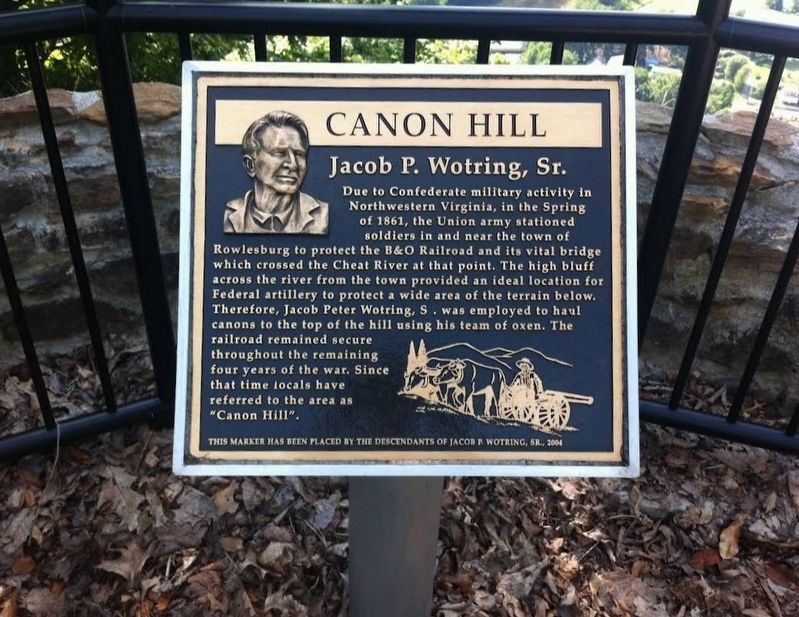
Canon Hill
Jacob P. Wotring, Sr.
Due to Confederate military activity in Northwestern Virginia, in the Spring of 1861, the Union army stationed soldiers in and near the town of Rowlesburg to protect the B&O Railroad and its vital bridge which crossed the Cheat River at that point. The high bluff across the river from the town provided an ideal location for Federal artillery to protect a wide area of the terrain below. Therefore, Jacob Peter Wotring, Sr. was employed to haul canons to the top of the hill using his team of oxen. The railroad remained secure throughout the remaining four years of the war. Since that time locals have referred to the area as "Canon Hill".
Erected 2004 by The Descendants of Jacob R. Wotring, Sr.
Topics. This historical marker is listed in this topic list: War, US Civil. A significant historical year for this entry is 1861.
Location. 39° 21.142′ N, 79° 40.166′ W. Marker is near Rowlesburg, West Virginia, in Preston County. Marker can be reached from Cannon Hill Road, 2.3 miles north of Maple Avenue (County Route 51), on the left when traveling south. Marker is located at the observation area at Cannon Hill Park. Touch for map. Marker is in this post office area: Rowlesburg WV 26425, United States of America. Touch for directions.
Other nearby markers. At least 8 other markers are within walking distance of this marker. Rowlesburg Community Park (approx. ¼ mile away); Restoring the American Chestnut Tree (approx. ¼ mile away); Cannon Hill (approx. ¼ mile away); Rowlesburg School (approx. 0.3 miles away); "Battle of Rowlesburg" (approx. 0.3 miles away); The 1841 Mountain Howitzer, thought to be the type used in Rowlesburg during the Civil War (approx. 0.3 miles away); a different marker also named Battle of Rowlesburg (approx. 0.3 miles away); a different marker also named Battle of Rowlesburg (approx. 0.3 miles away). Touch for a list and map of all markers in Rowlesburg.
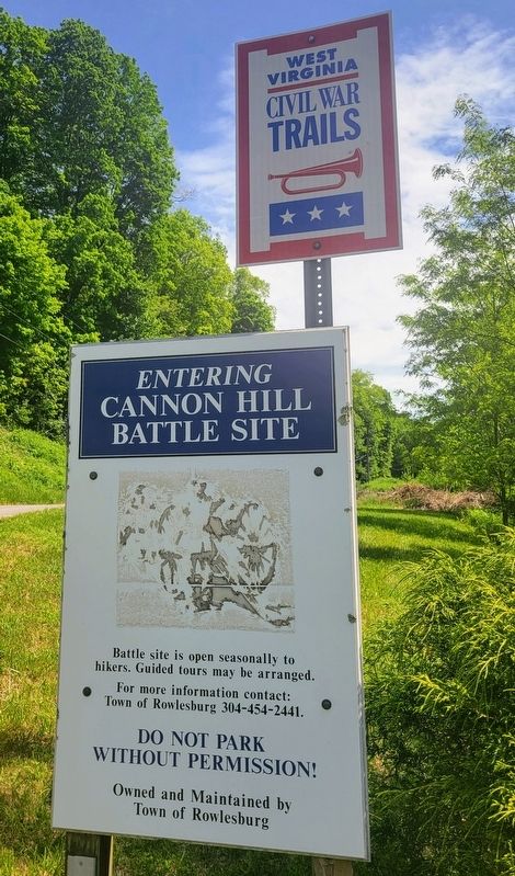
More about this marker. The park area is gated. Permission for vehicle entry must be obtained from the Town of Rowlesburg (304-454-2441). Hikers may reach the site on foot by a round-trip walk of approximately 3 miles.
Credits. This page was last revised on June 2, 2022. It was originally submitted on June 1, 2022, by Bradley Owen of Morgantown, West Virginia. This page has been viewed 95 times since then and 10 times this year. Photos: 1, 2. submitted on June 1, 2022, by Bradley Owen of Morgantown, West Virginia. • Bernard Fisher was the editor who published this page.
Editor’s want-list for this marker. Wide shot of marker and its surroundings. • Can you help?

