
Near Auburn in Logan County, Kentucky — The American South (East South Central)
Site of 1815 Brick Dwelling
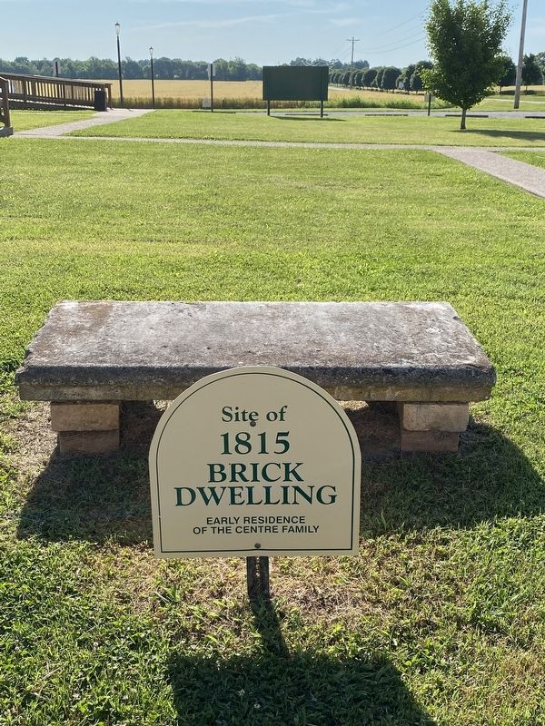
Photographed by Darren Jefferson Clay, June 4, 2022
1. Site of 1815 Brick Dwelling Marker
Early residence of the Centre Family
Topics. This historical marker is listed in this topic list: Settlements & Settlers.
Location. 36° 53.048′ N, 86° 38.627′ W. Marker is near Auburn, Kentucky, in Logan County. It is on Shakertown Road (Kentucky Route 1466) north of Shaker Museum Road, on the left when traveling south. Touch for map. Marker is at or near this postal address: 896 Shaker Museum Rd, Auburn KY 42206, United States of America. Touch for directions.

Regionally, this marker is in Kentucky’s Pennyroyal Region. It is also in the American Midwest, in the South, and specifically in the Upper South. Globally, it is in North America, the Western Hemisphere, the Western World, and the Anglosphere. Historically, it finds itself in what was once the territory of the Mississippian Culture and also the Antebellum South.
Other nearby markers. At least 8 other markers are within walking distance of this marker: Site of 1836 Cooper’s Shop (within shouting distance of this marker); Shaker Colony (within shouting distance of
this page online
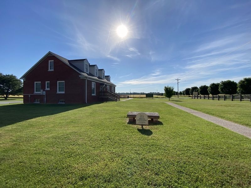
Photographed by Darren Jefferson Clay, June 4, 2022
2. Site of 1815 Brick Dwelling Marker
Credits. This page was last revised on June 7, 2022. It was originally submitted on June 4, 2022, by Darren Jefferson Clay of Duluth, Georgia. This page has been viewed 288 times since then and 21 times this year. Photos: 1, 2. submitted on June 4, 2022, by Darren Jefferson Clay of Duluth, Georgia. • Mark Hilton was the editor who published this page.
