Guanajuato, Mexico — The Central Highlands (North America)
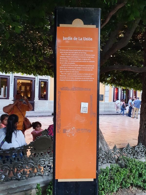
La Unión Garden
El terreno que ocupa el actual Jardín de la Unión formaba parte del gran atrio de la Iglesia de San Diego.
Hacia 1861-1862, al aplicarse las Leyes de Reforma, el gran complejo religioso que formaban el convento de San Pedro de Alcántara, la Iglesia de San Diego y la Iglesia de la Tercera Orden, es reestructurado para ampliar las vialidades de sus calles circundantes.
La Iglesia de la Tercera Orden desaparece para formar las plazas de la Constancia y de Zaragoza, mientras que el atrio de San Diego es recortado y elevado en su nivel para dar lugar a un jardín de estilo francés.
Para 1866, según se puede observar en el plano de Lucio Marmolejo, se encuentra perfectamente estructurado el actual Jardín de la Unión, colocándose en ese mismo año las elegantes balaustradas de fierro que actualmente ostenta.
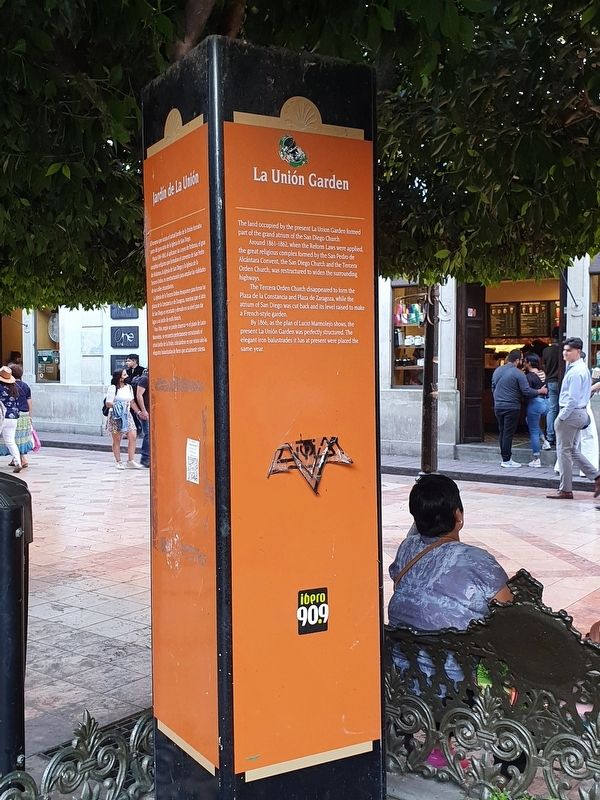
La Unión Garden
The land occupied by the present La Union Garden formed part of the grand atrium of the San Diego Church.
Around 1861-1862, when the Reform Laws were applied, the great religious complex formed by the San Pedro de Alcántara Convent, the San Diego Church and the Tercera Orden Church, was restructured to widen the surrounding highways.
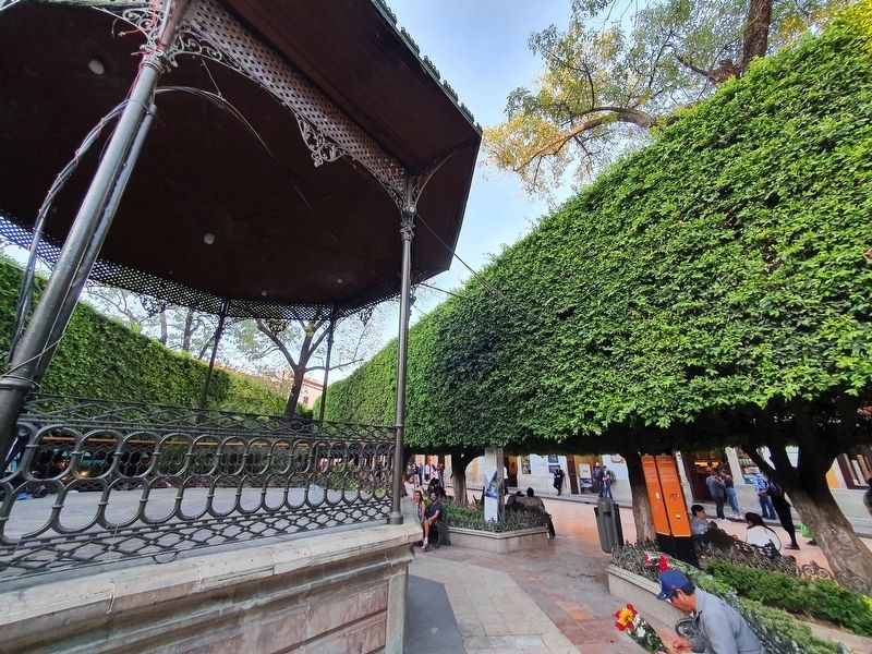
The Tercera Orden Church disappeared to form the Plaza de la Constancia and Plaza de Zaragoza, while the atrium of San Diego was cut back and its level raised to make a French-style garden.
By 1866, as the plan of Lucio Marmolejo shows, the present La Unión Garden was perfectly structured. The elegant iron balustrades it has at present were placed the same year.
Topics. This historical marker is listed in these topic lists: Churches & Religion • Parks & Recreational Areas. A significant historical year for this entry is 1866.
Location. 21° 0.947′ N, 101° 15.171′ W. Marker is in Guanajuato. Marker is at the intersection of De Sopena, on the right when traveling west on De Sopena. Touch for map. Marker is at or near this postal address: San Diego, Guanajuato 36000, Mexico. Touch for directions.
Other nearby markers. At least 8 other markers are within walking distance of this marker. Jardín Unión (here, next to this marker); Temple of San Diego (within shouting distance of this marker); Luis González Obregón (within shouting distance of this marker); The Temple of the Third Order of San Francisco (within shouting distance of this marker); Cruz Verde Pharmacy (within shouting distance of this marker); Minting House of the State of Guanajuato (within shouting distance of this marker); Admiral Federico Rómero Ceballos (within shouting distance of this marker); Lucio Marmolejo (within shouting distance of this marker). Touch for a list and map of all markers in Guanajuato.
Credits. This page was last revised on June 5, 2022. It was originally submitted on June 5, 2022, by J. Makali Bruton of Accra, Ghana. This page has been viewed 91 times since then and 20 times this year. Photos: 1, 2, 3. submitted on June 5, 2022, by J. Makali Bruton of Accra, Ghana.


