South Kansas City in Jackson County, Missouri — The American Midwest (Upper Plains)
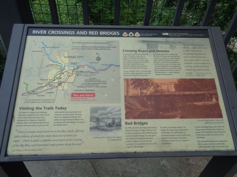
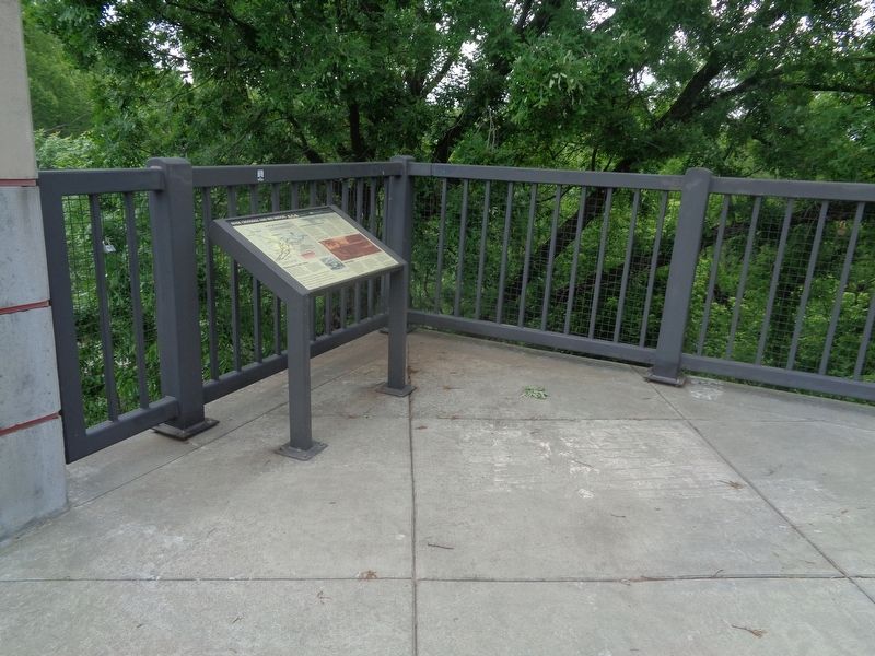
River Crossings and Red Bridges
Santa Fe, Oregon and California National Historic Trails
Visiting the Trails Today
The Santa Fe, Oregon and California Trails had a significant role in the history of the United States and have been designated by Congress as National Historic Trails. The National Park Service partners with site owners to preserve the trails and develop opportunities for visitor use and enjoyment. The map above is a sampling of historic sites within the region between Wayne City Landing and the Red Bridge Crossing of the Big Blue River.
Crossing Rivers and Streams
Crossing rivers and streams in covered wagons before the construction of bridges was difficult and dangerous. Swift currents, deep water, river snags, and unstable footings for their livestock and wagons caused injuries and drowning. Wagons were sometimes floated across larger bodies of water.
As you commute, walk or ride across the new 2011 bridge spanning the river and railroad, marvel at the thousands of Conestoga wagons that crossed the Big Blue River in this area and made their way southwest to Santa Fe, to Oregon Territory, and to California Territory in the 1840s. Enjoy the scenic beauty and experience the rich, diverse history of the area as you cross the Big Blue River quite differently and more safely than our ancestors. Native grasses along the MetroGreen corridor have attempted to re-create vegetation used by westward travelers.
Red Bridges
By 1859, the first red bridge was built by Colonel George N. Todd, a 50-year-old Scottish stonemason. The 100-foot span covered wooden bridge on stone piers was located just downstream from today's bridges at the actual trail crossing. It was painted red, hence the origin of "Red Bridge."
By 1892, a steel bridge called a "tin" bridge, also painted red, replaced the 1859 bridge. The 1859 bridge was dismantled and the wood recycled into barns by local farmers, including Solomon Young, Harry S. Truman's grandfather.
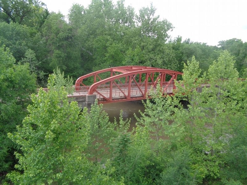
A third red bridge replaced the 1892 "tin" bridge and was dedicated by Truman in January 1933 during the Great Depression. It still stands today below the current Red Bridge.
The current Red Bridge was completed in 2011 in order to better accommodate traffic and public safety needs of the area.
(side quote:)
"There is a large camp below us on the Blue, badly afflicted with cholera, of which five have died, two of them last night…There is quite a populous graveyard at the crossing of the Big Blue, and numerous single graves along the trail."
Isaac Wistar, a '49er on May 6, 1849
Erected by National Park Service and KC Trails.
Topics and series. This historical marker is listed in these topic lists: Bridges & Viaducts • Waterways & Vessels. In addition, it is included in the California Trail, the Former U.S. Presidents: #33 Harry S. Truman, the Oregon Trail, and the Santa Fe Trail series lists. A significant historical month for this entry is January 1933.
Location. 38° 55.533′ N, 94° 34.322′ W. Marker is in Kansas City, Missouri, in Jackson County. It is in South Kansas City. Marker is on Red Bridge Road east of Minor Park North Entrance, on the right when traveling east. Touch for map. Marker is at or near this postal address: 1590 Minor Park North Entrance, Kansas City MO 64131, United States of America. Touch for directions.
Other nearby markers. At least 8 other markers are within walking distance of this marker. Trails Before Highways (within shouting distance of this marker); Hiram Young (about 300 feet away, measured in a direct line); Kit Carson (about 300 feet away); People and the Trails (about 400 feet away); Alexander Majors (about 400 feet away); Jim Bridger (about 400 feet away); Alexander Doniphan (about 400 feet away); Don Felipe Chavez (about 500 feet away). Touch for a list and map of all markers in Kansas City.
Credits. This page was last revised on February 10, 2023. It was originally submitted on June 6, 2022, by Jason Voigt of Glen Carbon, Illinois. This page has been viewed 399 times since then and 87 times this year. Photos: 1, 2, 3. submitted on June 6, 2022, by Jason Voigt of Glen Carbon, Illinois.


