South Kansas City in Jackson County, Missouri — The American Midwest (Upper Plains)
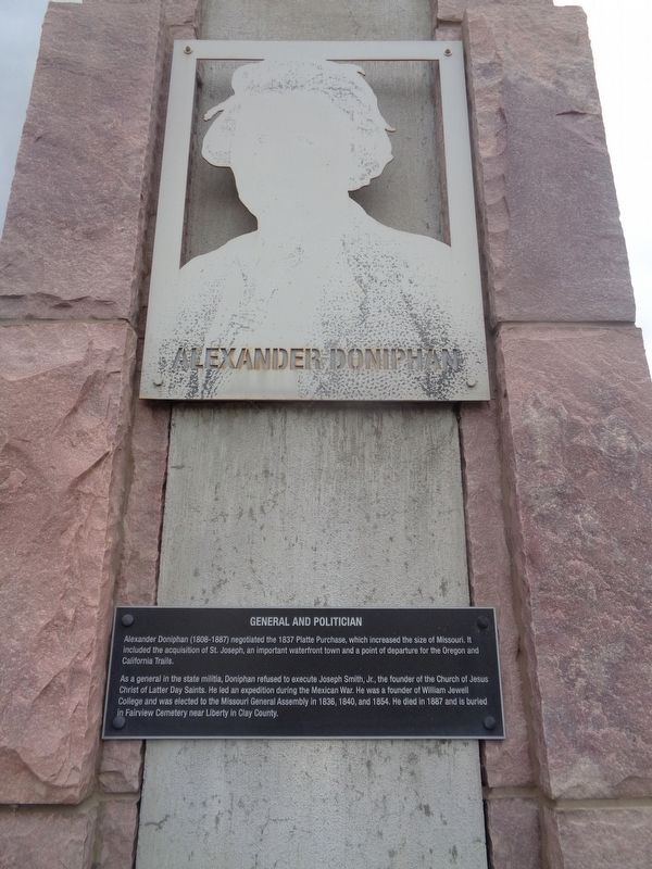
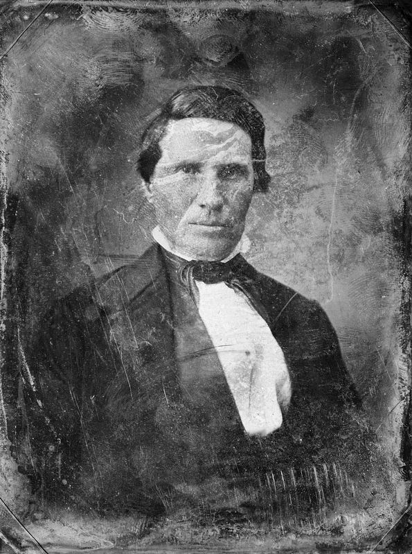
Alexander Doniphan
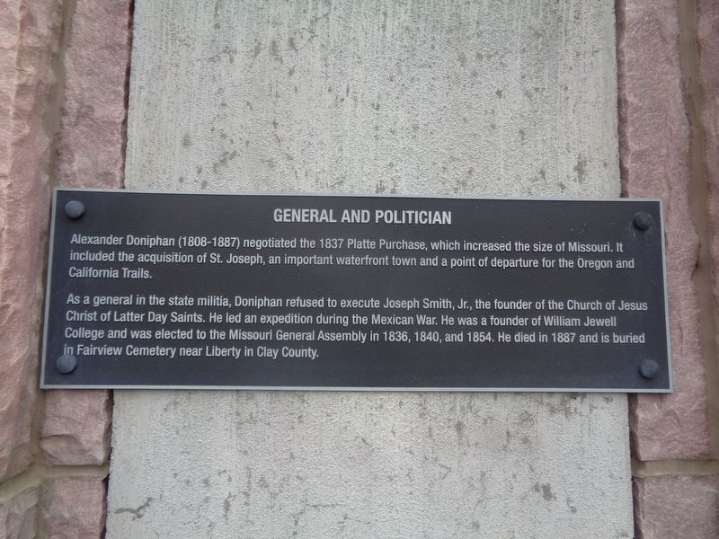
General and Politician
As a general in the state militia, Doniphan refused to execute Joseph Smith, Jr., the founder of the Church of Jesus Christ of Latter Day Saints. He led an expedition during the Mexican War. He was a founder of William Jewell College and was elected to the Missouri General Assembly in 1836, 1840, and 1854. He died in 1887 and is buried in Fairview Cemetery near Liberty in Clay County.
Topics. This historical marker is listed in these topic lists: Churches & Religion • Roads & Vehicles • War, Mexican-American. A significant historical year for this entry is 1837.
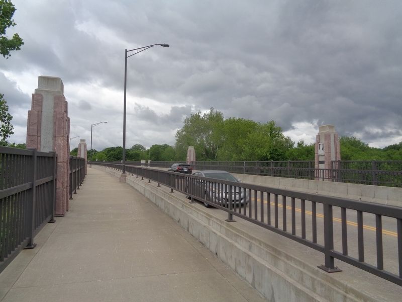
Location. 38° 55.542′ N, 94° 34.229′ W. Marker is in Kansas City, Missouri, in Jackson County. It is in South Kansas City. Marker is on East Red Bridge Road, on the right when traveling west. Touch for map. Marker is at or near this postal address: 1590 E Red Bridge Road, Kansas City MO 64131, United States of America. Touch for directions.
Other nearby markers. At least 8 other markers are within walking distance of this marker. Don Felipe Chavez (a few steps from this marker); People and the Trails (within shouting distance of this marker); Susan Magoffin (within shouting distance of this marker); John Calvin McCoy (within shouting distance of this marker); River Crossings and Red Bridges (about 400 feet away, measured in a direct line); Trails Before Highways (about 600 feet away); Hiram Young (about 700 feet away); Kit Carson (about 700 feet away). Touch for a list and map of all markers in Kansas City.
Also see . . . Alexander Doniphan on Wikipedia. (Submitted on June 6, 2022, by Jason Voigt of Glen Carbon, Illinois.)
Credits. This page was last revised on February 10, 2023. It was originally submitted on June 6, 2022, by Jason Voigt of Glen Carbon, Illinois. This page has been viewed 110 times since then and 15 times this year. Photos: 1, 2, 3, 4. submitted on June 6, 2022, by Jason Voigt of Glen Carbon, Illinois.


