Danville in Contra Costa County, California — The American West (Pacific Coastal)
Indian Grinding Holes
A Gathering Place for Food Preparation
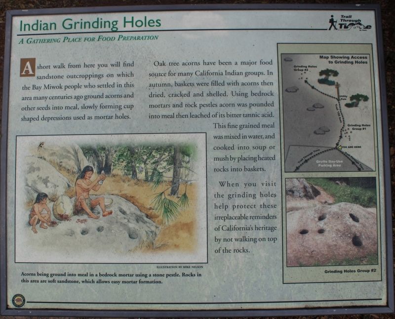
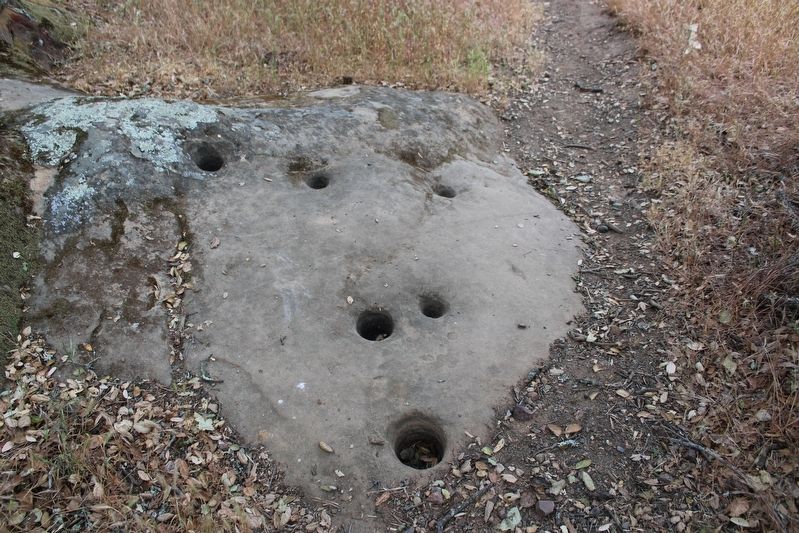
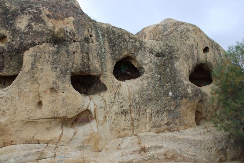
A short walk from here you will find sandstone outcroppings on which the Bay Miwok people who settled in this area many centuries ago ground acorns and other seeds into meal, slowly forming cup shaped depressions used as mortar holes.
Oak tree acorns have been a major food source for many California Indian groups. In autumn, baskets were filled with acorns then dried, cracked and shelled. Using bedrock mortars and rock pestles acorn was pounded into meal then leached of its bitter tannic acid. This fine grained meal was mixed in water, and cooked into soup or mush by placing heated rocks into baskets.
When you visit the grinding holes help protect these irreplaceable reminders of California's heritage by not walking on top of the rocks.
Erected by California Department of Parks & Recreation.
Topics. This historical marker is listed in this topic list: Native Americans.
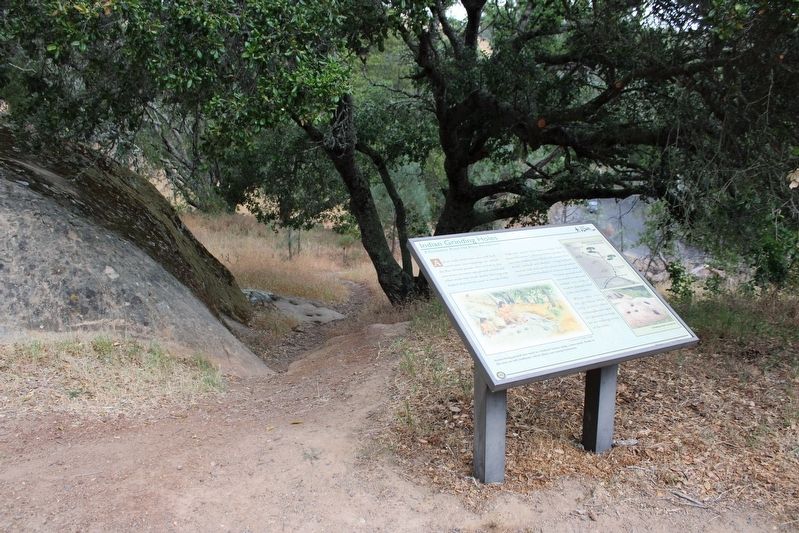
Location. 37° 51.034′ N, 121° 56.003′ W. Marker is in Danville, California, in Contra Costa County. The marker is mounted to a metal stand in the upper parking area of Rock City, off South Gate Road, inside Mount Diablo State Park. Touch for map. Marker is in this post office area: Danville CA 94506, United States of America. Touch for directions.
Other nearby markers. At least 8 other markers are within 3 miles of this marker, measured as the crow flies. Blackhawk Ranch Quarry (about 500 feet away, measured in a direct line); Sentinel Rock Overlook (about 600 feet away); Turritella Snail Bed (about 700 feet away); Mount Diablo State Park (approx. 2.3 miles away); What Are Those Towers For? (approx. 2.3 miles away); Mt Diablo State Park (approx. 2.4 miles away); Whitegate Farm (approx. 2.4 miles away); Mount Diablo (approx. 2.4 miles away). Touch for a list and map of all markers in Danville.
More about this marker. In recognition of the mountain’s importance to our natural landscape, a state park was established in 1931. It was designated a National Natural Landmark by the National Park Service in 1982
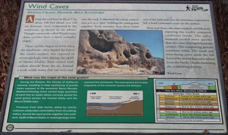
This marker is part of the Trail Through Time series.
Also see . . .
1. Mount Diablo State Park. California Department of Parks and Recreation website entry:
"Mount Diablo is a dominant topographic feature in northern California. It was established in 1851 as the initial point of the Mount Diablo Base Line and Meridian for land surveys spanning two-thirds of California and all of Nevada. The mountain’s summit boasts spectacular panoramic views."(Submitted on June 6, 2022, by Joseph Alvarado of Livermore, California.)
2. Trail Through Time. Mount Diablo Interpretive Association website entry:
"With 20 trailside interpretive panels, the complete Trail is 6.25 miles in length with a vertical elevation gain of 2,940 feet."(Submitted on June 9, 2022, by Joseph Alvarado of Livermore, California.)
Credits. This page was last revised on June 12, 2022. It was originally submitted on June 6, 2022, by Joseph Alvarado of Livermore, California. This page has been viewed 641 times since then and 98 times this year. Photos: 1, 2, 3, 4, 5. submitted on June 8, 2022, by Joseph Alvarado of Livermore, California. • Syd Whittle was the editor who published this page.
