Greensboro in Orleans County, Vermont — The American Northeast (New England)
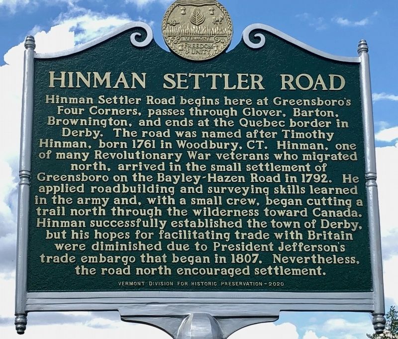
Hinman Settler Road
Hinman Settler Road begins here at Greensboro’s Four Corners, passes through Glover, Barton, Brownington, and ends at the Quebec border in Derby. The road was named after Timothy Hinman, born 1761 in Woodbury, CT. Hinman, one of many Revolutionary War veterans who migrated north, arrived in the small settlement of Greensboro on the Bayley-Hazen Road in 1792. He applied roadbuilding and surveying skills learned in the army and, with a small crew, began cutting a trail north through the wilderness toward Canada. Hinman successfully established the town of Derby, but his hopes for facilitating trade with Britain were diminished due to President Jefferson’s trade embargo that began in 1807. Nevertheless, the road north encouraged settlement.
Erected 2020 by Vermont Division for Historic Preservation.
Topics. This historical marker is listed in these topic lists: Roads & Vehicles • Settlements & Settlers • War, US Revolutionary. A significant historical year for this entry is 1792.
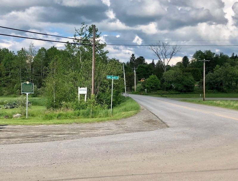
Location. 44° 34.032′ N, 72° 18.372′ W. Marker is in Greensboro, Vermont, in Orleans County. Marker is at the intersection of Center Road and Lake Shore Road, on the left when traveling north on Center Road. Located at the intersection of Breezy Ave, Center Road, and Hardwick Street. Touch for map. Marker is in this post office area: Greensboro VT 05841, United States of America. Touch for directions.
Other nearby markers. At least 8 other markers are within 14 miles of this marker, measured as the crow flies. Camp Wapanacki (approx. 4.4 miles away); Fisher Bridge (approx. 6.4 miles away); Runaway Pond (approx. 6˝ miles away); Sterling College (approx. 7 miles away); Reverend George S. Brown (approx. 7.8 miles away); To the Memory of Cabot Soldiers (approx. 11.3 miles away); Liberty Tree Memorial (approx. 11.4 miles away); Thaddeus Stevens (approx. 13˝ miles away).
Credits. This page was last revised on June 9, 2022. It was originally submitted on June 7, 2022, by Dennis Gilkenson of Saxtons River, Vermont. This page has been viewed 190 times since then and 33 times this year. Photos: 1, 2. submitted on June 7, 2022, by Dennis Gilkenson of Saxtons River, Vermont. • Michael Herrick was the editor who published this page.

