Grantsville in Garrett County, Maryland — The American Northeast (Mid-Atlantic)
“The Little Crossings” / Castleman’s River Bridge
(of the Little Youghiogeny River now called Castleman's River) / (formerly “Little Youghiogeny”)
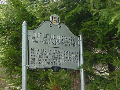
“The Little Crossings” (of the Little Youghiogeny River now called Castleman’s River). So called by George Washington when he crossed on June 19, 1755, with General Edward Braddock on the ill-fated expedition to Fort Duquesne (Pittsburgh).
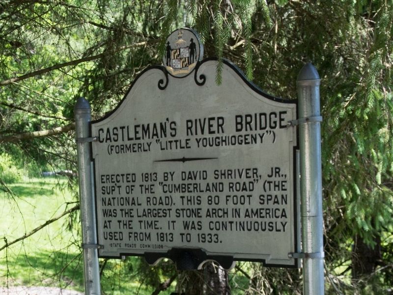
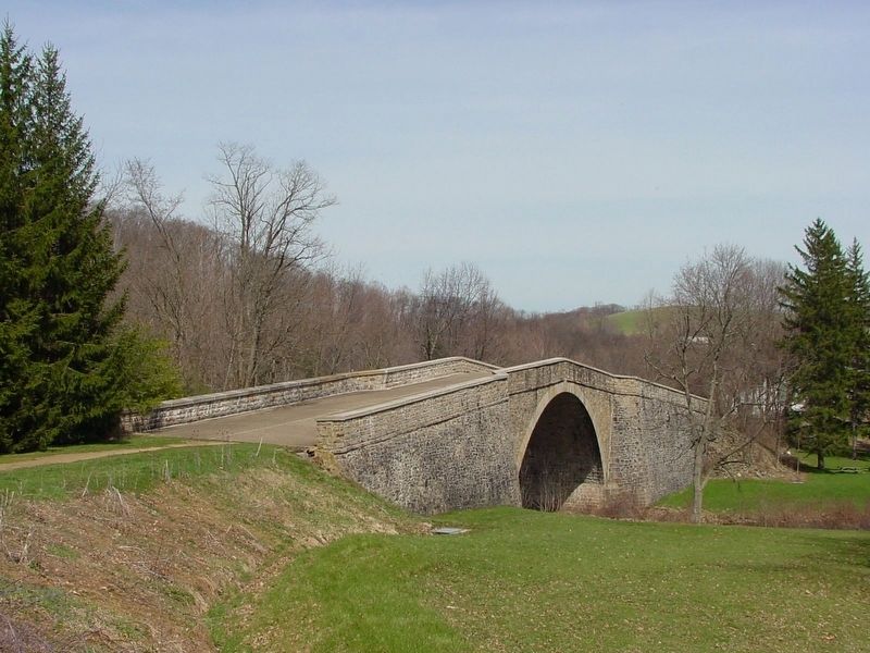
Castleman’s River Bridge (formerly “Little Youghiogeny”). Erected 1813 by David Shriver, Jr., superintendent of the “Cumberland Road” (the National Road). This 80 foot span was the largest stone arch in America at the time. It was continuously used from 1813 to 1933.
Erected by States Road Commission.
Topics. This historical marker is listed in these topic lists: Bridges & Viaducts • Colonial Era. A significant historical month for this entry is June 1681.
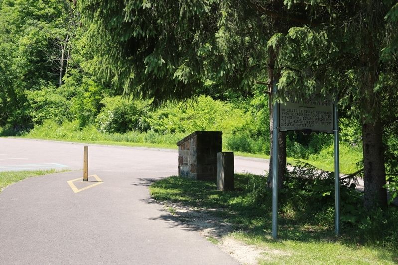
Location. 39° 41.792′ N, 79° 8.679′ W. Marker is in Grantsville, Maryland, in Garrett County. Marker can be reached from National Pike (Alternate U.S. 40) west of Casselman Road. It is in the little park at the west end of the bridge. Touch for map. Marker is in this post office area: Grantsville MD 21536, United States of America. Touch for directions.
Other nearby markers. At least 8 other markers are within walking distance of this marker. Casselman River Bridge State Park (within shouting distance of this marker); Mountain Maryland Gateway to the West (within shouting distance of this marker); The National Road (within shouting distance of this marker); a different marker also named “The Little Crossings” / Castleman’s River Bridge (about 600 feet away, measured in a direct line); Winterburg House (about 600 feet away); Castleman’s River Bridge / The Little Crossings (about 600 feet away); a different marker also named Casselman River Bridge State Park (about 600 feet away); a different marker also named Mountain Maryland Gateway to the West (about 600 feet away). Touch for a list and map of all markers in Grantsville.
More about this marker. There are two identical markers, one on each end of the Castleman River Bridge.
Regarding “The Little Crossings” / Castleman’s River Bridge. This was Gen. Braddock's 4th encampment on his march from Cumberland to Fort Duquesne. / The bridge became a Registered National Historic Landmark in 1963.
Additional keywords. Braddock's Road
Credits. This page was last revised on June 17, 2023. It was originally submitted on June 7, 2022, by J. J. Prats of Powell, Ohio. This page has been viewed 124 times since then and 14 times this year. Last updated on June 6, 2023, by Bradley Owen of Morgantown, West Virginia. Photos: 1. submitted on May 18, 2006, by J. J. Prats of Powell, Ohio. 2, 3. submitted on June 7, 2022, by J. J. Prats of Powell, Ohio. 4. submitted on May 18, 2006, by J. J. Prats of Powell, Ohio. • Bill Pfingsten was the editor who published this page.
Editor’s want-list for this marker. A photo of the Registered National Historic Landmark plaque facing the west parking lot mounted on the stone stand that can be seen in image No. 3. • Can you help?


