West Liberty in Logan County, Ohio — The American Midwest (Great Lakes)
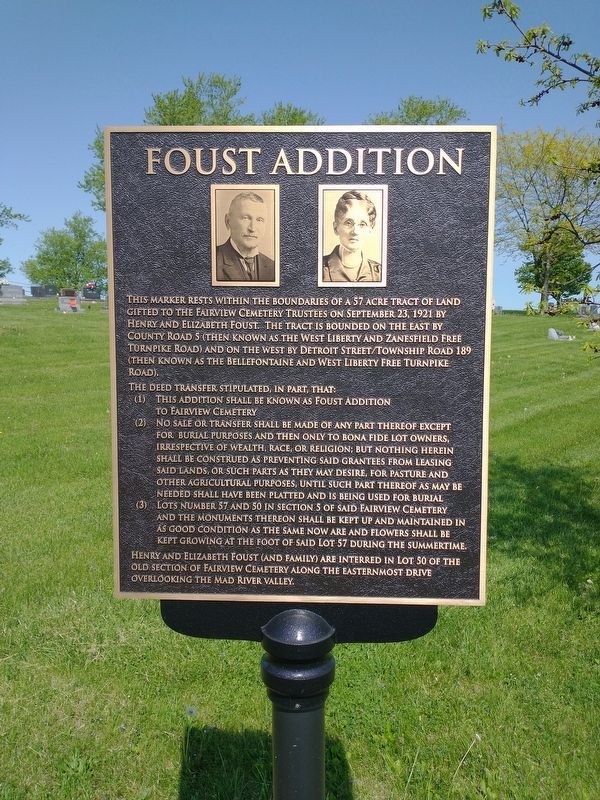
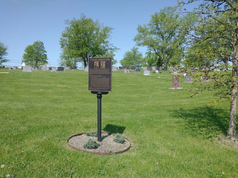
Foust Addition
The deed transfer stipulated, in part, that:
(1) This addition shall be known as Foust Addition to Fairview Cemetery
(2)No sale or transfer shall be made of any part thereof except for burial purposes and then only to bona fide lot owners irrespective of wealth, race, or religion; but nothing herein shall be construed as preventing said grantees from leasing said lands, or such parts as they may desire, for pasture and other agricultural purposes, until such part thereof as may be needed shall have been platted and is being used for burial
(3)Lots number 57 and 50 in section 5 of said Fairview Cemetery and the monuments thereon shall be kept up and maintained in as good condition as the same now are and flowers shall be kept growing at the foot of said lot 57 during the summertime.
Henry and Elizabeth Foust (and family) are interred in lot 50 of the old section of Fairview Cemetery along the Easternmost Drive overlooking the Mad River Valley.
Topics. This historical marker is listed in this topic list: Cemeteries & Burial Sites. A significant historical date for this entry is September 23, 1921.
Location. 40° 15.674′ N, 83° 45.427′ W. Marker is in West Liberty, Ohio, in Logan County. Marker is on N. Detroit Street, on the right when traveling north. Touch for map. Marker is in this post office area: West Liberty OH 43357, United States of America. Touch for directions.
Other nearby markers. At least 8 other markers are within walking distance of this marker. West Liberty Veterans Memorial (approx. 0.2 miles away); Michael Lane Partin (approx. ¼ mile away); West Liberty / Glover Hall (approx. 0.4 miles away); Shawnee Nation in Logan County / Shawnee Villages in Logan County (approx. 0.4 miles away); West Liberty World War I Memorial (approx. 0.4 miles away); Hull's Trace / Moluntha (approx. half a mile away); Sherman M. Ricketts (approx. half a mile away); West Liberty Lion's Club Park (approx. 0.7 miles away). Touch for a list and map of all markers in West Liberty.
Credits. This page was last revised on June 22, 2022. It was originally submitted on June 8, 2022, by Craig Doda of Napoleon, Ohio. This page has been viewed 67 times since then and 15 times this year. Photos: 1, 2. submitted on June 8, 2022, by Craig Doda of Napoleon, Ohio. • Bill Pfingsten was the editor who published this page.

