Riverside in Riverside County, California — The American West (Pacific Coastal)
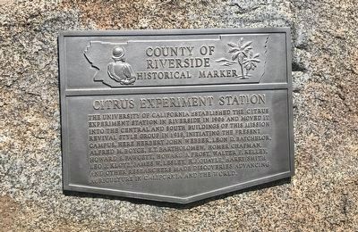
Citrus Experiment Station
County of Riverside Historical Marker
Photographed by Adam Margolis, June 8, 2022
1. Citrus Experiment Station Marker
Erected by County of Riverside.
Topics. This historical marker is listed in this topic list: Education. A significant historical year for this entry is 1906.
Location. 33° 58.186′ N, 117° 19.594′ W. Marker is in Riverside, California, in Riverside County. It is on Citrus Drive north of South Campus Drive, on the right when traveling north. Touch for map. Marker is in this post office area: Riverside CA 92507, United States of America. Touch for directions.

Regionally, this marker is in Greater Los Angeles, in the Inland Empire, and in the Peninsular Ranges. It is also in the American Southwest. Globally, it
this page online
Other nearby markers. At least 8 other markers are within walking distance of this marker: The Oroblanco Grapefruit Tree (a few steps from this marker); University Theater (approx. 0.2 miles away); Webber Memorial Cycad Collection (approx. ¼ mile away); Philip Brett (approx. half a mile away); Mary D. Nichols (approx. 0.8 miles away); William A. Childs House (approx. one mile away); Farm House Motel (approx. one mile away); Isidore and Marie Claire Camou (approx. one mile away). Touch for a list and map of all markers in Riverside.
Photographed by Adam Margolis, June 8, 2022
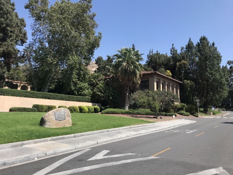
2. Citrus Experiment Station Marker
Marker can be seen on the left. This view is looking southeast.
Photographed by Adam Margolis, June 8, 2022
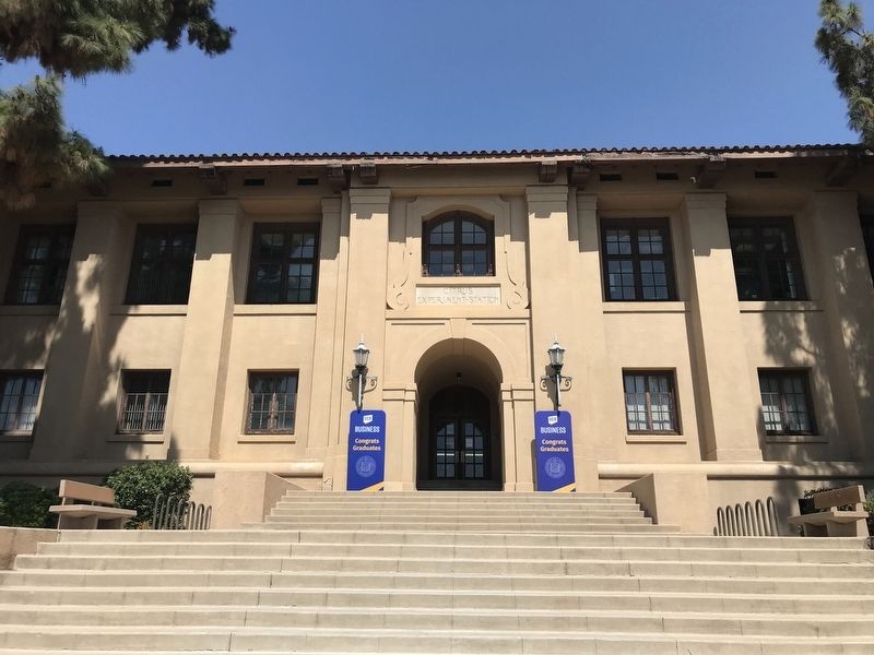
3. Citrus Experiment Station
Photographed by Adam Margolis, June 8, 2022
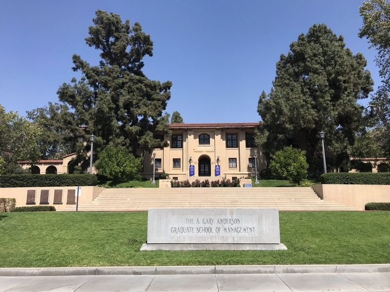
4. Citrus Experiment Station
Now used for the A. Gary Anderson Graduate School of Management at UC Riverside.
Credits. This page was last revised on June 12, 2022. It was originally submitted on June 9, 2022, by Adam Margolis of Mission Viejo, California. This page has been viewed 660 times since then and 88 times this year. Photos: 1, 2, 3, 4. submitted on June 9, 2022, by Adam Margolis of Mission Viejo, California. • Syd Whittle was the editor who published this page.
