Yuriria, Guanajuato, Mexico — The Central Highlands (North America)
Yuriria Named a City
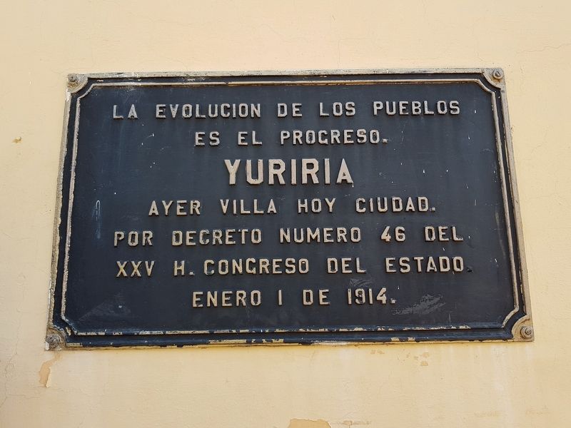
The evolution of a people is their progress. Yuriria yesterday a villa, today a city. By Decree number 46 of the XXV Honorable State Congress on January 1, 1914.
Topics. This historical marker is listed in this topic list: Political Subdivisions. A significant historical date for this entry is January 1, 1914.
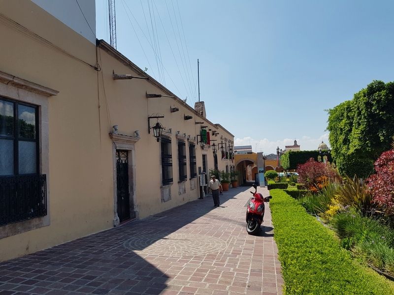
Location. 20° 12.765′ N, 101° 7.858′ W. Marker is in Yuriria, Guanajuato. Marker is on Portal Morelos just west of Magnolia, on the left when traveling west. The area is pedestrian-only near the Presidencia Municipal. Touch for map. Marker is in this post office area: Yuriria GTO 38940, Mexico. Touch for directions.
Other nearby markers. At least 8 other markers are within walking distance of this marker. Presidencia Municipal / Palacio Municipal / City Hall Town (a few steps from this marker); Miguel Hidalgo in Yuriria (within shouting distance of this marker); Dr. Miguel Ramírez Tinoco (within shouting distance of this marker); Joaquín López Arias (within shouting distance of this marker); General José María Magaña (within shouting distance of this marker); Convent of Saint Augustine of Yuriria (about 120 meters away, measured in a direct line); Monument to Friar Diego de Chávez (about 120 meters away); Ex Convento de San Pablo; Founded by Agustinians (about 120 meters away). Touch for a list and map of all markers in Yuriria.
Credits. This page was last revised on June 9, 2022. It was originally submitted on June 9, 2022, by J. Makali Bruton of Accra, Ghana. This page has been viewed 85 times since then and 9 times this year. Photos: 1, 2. submitted on June 9, 2022, by J. Makali Bruton of Accra, Ghana.

