
Normal in McLean County, Illinois — The American Midwest (Great Lakes)
Bloomington Airport Former Site
Photographed by Jason Voigt, June 11, 2022
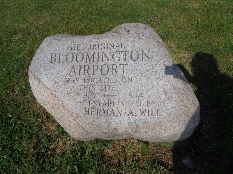
1. Bloomington Airport Former Site Marker
The original Bloomington Airport was located on this site 1927-1934
Established by Herman Will
Topics. This historical marker is listed in this topic list: Air & Space.
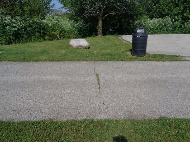
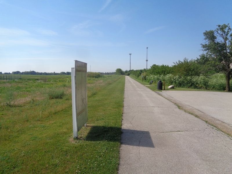
Location. 40° 33.217′ N, 88° 59.292′ W. Marker is in Normal, Illinois, in McLean County. It is on Constitution Trail south of County Route 1850N, on the right when traveling south. Marker is off the Constitution Trail, at the north end parking lot. Touch for map. Marker is at or near this postal address: 30801 Constitution Trail, Normal IL 61761, United States of America. Touch for directions.

Regionally, this marker is in Central Illinois. It is also in the American Midwest and in the Corn Belt. Globally, it is in North America, the Western Hemisphere, the Western World, and the Anglosphere. Historically, it finds itself in what was once the territory of the Mississippian Culture and also the Northwest Territory.
Other nearby markers. At least 8 other markers are within 3 miles of this marker, measured as the crow flies: Illinois Soldiers' and Sailors' Children's School (approx. 2.4 miles
this page online
Also see . . . Central Illinois Regional Airport (CIRA) on Wikipedia. The land was donated by farmer Herman Will (as said on the marker). The airport was stretched from that boundary (Illinois Central Railroad, now the Constitution Trail) to present-day Interstate 39/U.S. Highway 51. A factory/warehouse also sits on the old airport land. The airport was eventually moved to the southeast part of the area, off Illinois Highway 9. (Submitted on June 12, 2022, by Jason Voigt of Glen Carbon, Illinois.)
Photographed by Jason Voigt, June 11, 2022
2. Bloomington Airport Former Site Marker
Photographed by Jason Voigt, June 11, 2022
3. Bloomington Airport Former Site Marker
Marker is located off the Constitution Trail's north entrance parking lot
Credits. This page was last revised on June 12, 2022. It was originally submitted on June 12, 2022, by Jason Voigt of Glen Carbon, Illinois. This page has been viewed 428 times since then and 29 times this year. Photos: 1, 2, 3. submitted on June 12, 2022, by Jason Voigt of Glen Carbon, Illinois.
