Meyersdale in Somerset County, Pennsylvania — The American Northeast (Mid-Atlantic)
Early Meyersdale
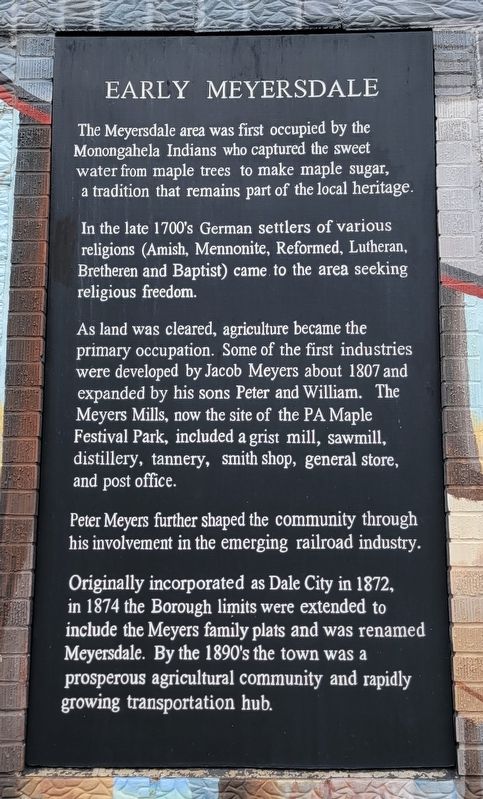
The Meyersdale area was first occupied by the Monongahela Indians who captured the sweet water from maple trees to make maple sugar, a tradition that remains part of the local heritage.
In the late 1700's German settlers of various religions (Amish, Mennonite, Reformed, Lutheran, Bretheren and Baptist) came to the area seeking religious freedom.
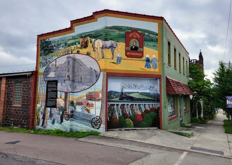
As land was cleared, agriculture became the primary occupation. Some of the first industries were developed by Jacob Meyers about 1807 and expanded by his sons Peter and William. The Meyers Mills, now the site of the PA Maple Festival Park, included a grist mill, sawmill, distillery, tannery, smith shop, general store, and post office.
Peter Meyers further shaped the community through his involvement in the emerging railroad industry.
Originally incorporated as Dale City in 1872, in 1874 the Borough limits were extended to include the Meyers family plats and was renamed Meyersdale. By the 1890's the town was a prosperous agricultural community and rapidly growing transportation hub.
Topics. This historical marker is listed in these topic lists: Agriculture • Churches & Religion • Industry & Commerce • Settlements & Settlers. A significant historical year for this entry is 1807.
Location. 39° 48.911′ N, 79° 1.415′ W. Marker is in Meyersdale, Pennsylvania, in Somerset County. Marker is on Main Street west of Cherry Street, on the left when traveling west. Touch for map. Marker is at or near this postal address: 344 Main Street, Meyersdale PA 15552, United States of America. Touch for directions.
Other nearby markers. At least 8 other markers are within walking distance of this marker. What's the Use of a Caboose (approx. 0.2 miles away); Meyersdale (approx. 0.2 miles away); a different marker also named Meyersdale (approx. 0.2 miles away); Meyersdale Centennial (approx. 0.2 miles away); Western Maryland Railway (approx. 0.2 miles away); Lest We Forget (approx. 0.2 miles away); Korean War/Vietnam Memorial (approx. 0.2 miles away); Defenders of Freedom and Justice Memorial (approx. 0.2 miles away). Touch for a list and map of all markers in Meyersdale.
Credits. This page was last revised on June 18, 2022. It was originally submitted on June 12, 2022, by Bradley Owen of Morgantown, West Virginia. This page has been viewed 238 times since then and 58 times this year. Photos: 1, 2. submitted on June 13, 2022, by Bradley Owen of Morgantown, West Virginia. • Bill Pfingsten was the editor who published this page.

