Sioux Falls in Minnehaha County, South Dakota — The American Midwest (Upper Plains)
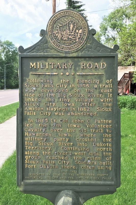
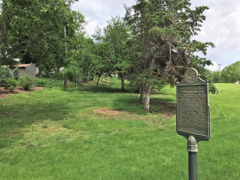
Military Road
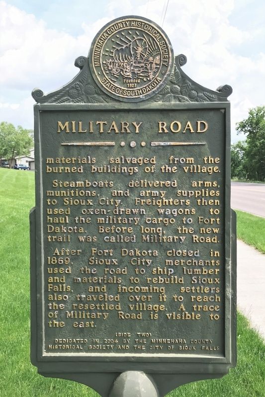
In 1865 Lt. Col. John C. Pattee led the 7th Iowa Volunteer Cavalry over the old trail to Hawarden, Iowa, where the military party crossed the Big Sioux River into Dakota Territory. Continuing north along the river's west side, the group reached the ruins of Sioux Falls City. Soldiers built Fort Dakota there, often using materials salvaged from the burned buildings of the village.
Steamboats delivered arms, munitions, and army supplies to Sioux City. Freighters then used oxen-drawn wagons to haul the military cargo to Fort Dakota. Before long, the new trail was called Military Road.
After Fort Dakota closed in 1869, Sioux City merchants used the road to ship lumber and materials to rebuild Sioux Falls, and incoming settlers also traveled over it to reach the resettled village. A trace of Military Road is visible to the east.
Erected 2004 by the Minnehaha County Historical Society and the City of Sioux Falls.
Topics. This historical marker is listed in these topic lists: Forts and Castles • Roads & Vehicles • Settlements & Settlers. A significant historical year for this entry is 1856.
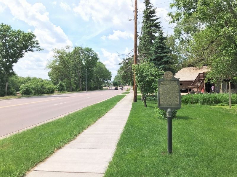
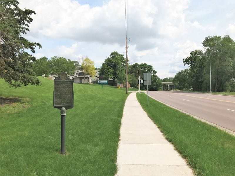
Location. 43° 32.123′ N, 96° 41.843′ W. Marker is in Sioux Falls, South Dakota, in Minnehaha County. Marker is on South Southeastern Avenue north of East Beacon Place, on the right when traveling north. Touch for map. Marker is in this post office area: Sioux Falls SD 57103, United States of America. Touch for directions.
Other nearby markers. At least 8 other markers are within walking distance of this marker. The First "Flying Machine" (approx. 0.2 miles away); Buffalo Bill (approx. ¼ mile away); Sioux Falls (approx. 0.4 miles away); Cherry Rock Bridge (approx. 0.4 miles away); Mount Pleasant Cemetery (approx. 0.6 miles away); Fort Dakota Soldiers (approx. 0.6 miles away); Josephine Martin Glidden Memorial Chapel (approx. 0.6 miles away); Mission Church (approx. 0.7 miles away). Touch for a list and map of all markers in Sioux Falls.
Credits. This page was last revised on June 13, 2022. It was originally submitted on June 12, 2022. This page has been viewed 483 times since then and 39 times this year. Photos: 1, 2, 3, 4, 5. submitted on June 12, 2022.
