Near Myersville in Frederick County, Maryland — The American Northeast (Mid-Atlantic)
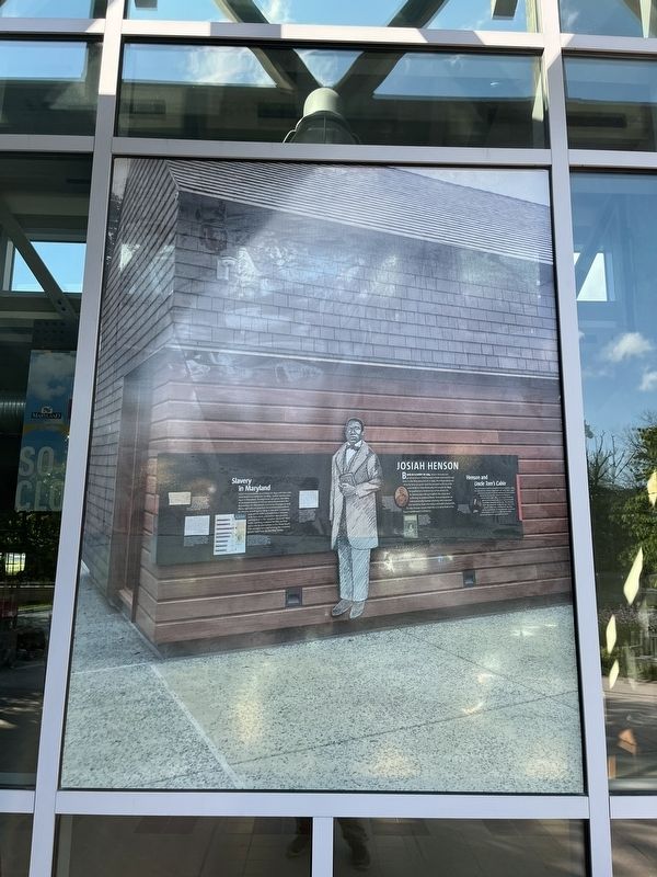
Josiah Henson
Born into slavery in 1789, Josiah Henson was purchased as a child by Adam Robb and transferred here to the Riley plantation in 1795. The Rileys enslaved him for over 30 years until he escaped with his wife and children from Kentucky to Canada. In 1849, he published a written narrative of his life in slavery, describing in detail the labor and suffering endured here. Henson became an internationally known celebrity who traveled the world to share his story and build a better life for the former slaves from the U.S. who lived in his Dawn Settlement in Ontario.
Henson and Uncle Tom's Cabin
The same year that Henson published his narrative, 1849, Harriet Beecher Stowe began work on Uncle Tom's Cabin, a fictional account of slavery, releasing it one chapter at a time. As she later noted in her A Key to Uncle Tom's Cabin (1853), her sources included personal interviews and observations as well as written accounts. In the Key, she revealed that "the venerable Josiah Henson" who was "'raised' in the State of Maryland" was one of the inspirations for the character Uncle Tom. Later, Stowe wrote the preface to the 1858 version of Henson's expanded narrative.
[Sidebar:]
Slavery in Maryland
From its foundation as a colony in 1634 until the state abolished the institution in 1864, chattel slavery was legal in Maryland. During those 230 years, the labor of enslaved people of African descent provided the foundation for Maryland's economy. Changes in early 1800s agricultural practices diminished dependence on slavery, resulting in a drop in the state's enslaved population. Marylanders participated in the lucrative domestic slave trade, splitting enslaved families as they were sold to plantations in the Deep South. This scenario occurred among the enslaved people held here by the Riley family.
Topics. This historical marker is listed in these topic lists: Abolition & Underground RR • African Americans • Arts, Letters, Music. A significant historical year for this entry is 1789.
Location. 39° 31.69′ N, 77° 36.303′ W. Marker is near Myersville, Maryland, in Frederick County. Marker can be reached from Dwight D. Eisenhower Highway (Interstate 70) 5.8 miles south of Mapleville Road (Maryland Route 66), on the right when traveling south. Touch for map. Marker is at or near this postal address: 1551 Dwight D Eisenhower Hwy, Myersville MD 21773, United States of America. Touch for directions.
Other nearby markers. At least 8 other markers are within walking distance of this marker. C&O Canal (a few steps from this marker); The Historic National Road (a few steps from this marker); Underground Railroad (a few steps from this marker); Explore Maryland as the Crucible of the Nation
Additional commentary.
1. About the mural
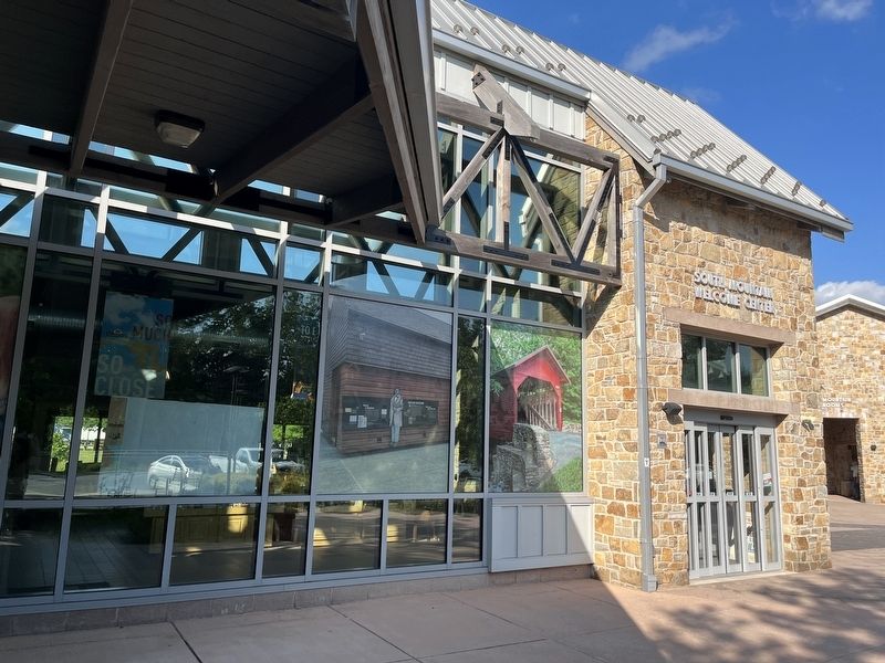
This mural is a graphic reproduction of a historical marker that can be found in Montgomery County. While it is a reproduction of a marker, it is legible, permanent, outdoors and interprets history.
— Submitted June 13, 2022, by Devry Becker Jones of Washington, District of Columbia.
Credits. This page was last revised on April 4, 2024. It was originally submitted on June 13, 2022, by Devry Becker Jones of Washington, District of Columbia. This page has been viewed 219 times since then and 40 times this year. Photos: 1, 2. submitted on June 13, 2022, by Devry Becker Jones of Washington, District of Columbia.

