Parrish in Manatee County, Florida — The American South (South Atlantic)
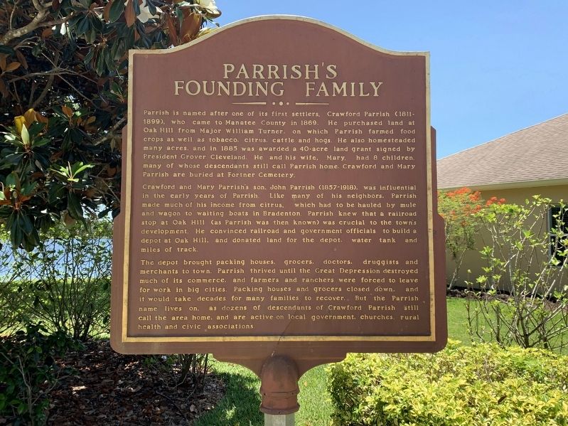
Parrish's Founding Family
Crawford and Mary Parrish's son, John Parrish (1857-1918), was influential in the early years of Parrish. Like many of his neighbors, Parrish made much of his income in citrus, which had to be hauled by mule and wagon to waiting boats in Bradenton. Parrish knew that a railroad stop at Oak Hill (as Parrish was then known) was crucial to the town's development. He convinced railroad and government officials to build a depot at Oak Hill, and donated land for the depot, water tank and miles of track.
The depot brought packing houses, grocers, doctors, druggists and merchants to town. Parrish thrived until the Great Depression destroyed much of its commerce, and farmers and ranchers were forced to leave for work in big cities. Packing houses and grocers closed down, and it would take decades for many families to recover. But the Parrish name lives on, as dozens of descendants of Crawford Parrish still call the area home, and are active on local government, churches, rural health and civic associations.
Topics. This historical marker is listed in these topic lists: Agriculture • Industry & Commerce • Railroads & Streetcars • Settlements & Settlers. A significant historical year for this entry is 1869.
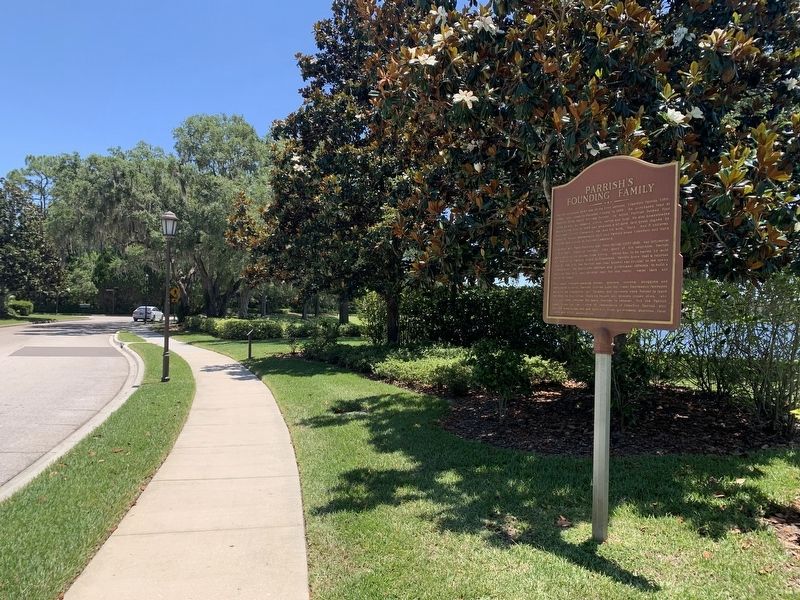
Location. 27° 33.758′ N, 82° 26.186′ W. Marker is in Parrish, Florida, in Manatee County. Marker is at the intersection of Forest Creek Trail and John Parrish Cove, on the right when traveling south on Forest Creek Trail. Marker is located in the gated community of Forest Creek. Touch for map. Marker is in this post office area: Parrish FL 34219, United States of America. Touch for directions.
Other nearby markers. At least 8 other markers are within 7 miles of this marker, measured as the crow flies. Major William Iredell Turner (about 700 feet away, measured in a direct line); Charles Partin (approx. 0.2 miles away); Historic Parrish (approx. ¼ mile away); Fort Hamer (approx. 2.6 miles away); Gamble Sugar Cane Mill (approx. 6 miles away); The Town of Rye (approx. 6.1 miles away); Veterans Memorial (approx. 6.1 miles away); World War I Veterans Memorial (approx. 6.1 miles away). Touch for a list and map of all markers in Parrish.
Also see . . . History of Parrish. (Submitted on June 15, 2022, by Tim Fillmon of Webster, Florida.)
Credits. This page was last revised on June 15, 2022. It was originally submitted on June 15, 2022, by Tim Fillmon of Webster, Florida. This page has been viewed 271 times since then and 36 times this year. Photos: 1, 2. submitted on June 15, 2022, by Tim Fillmon of Webster, Florida.

