Lathrop in San Joaquin County, California — The American West (Pacific Coastal)
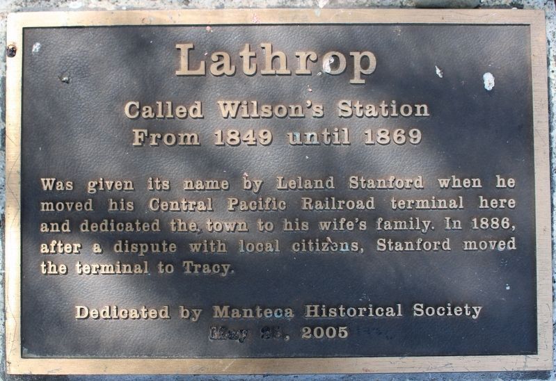
Lathrop
Photographed by Joseph Alvarado, April 21, 2023
1. Lathrop Marker
From 1849 until 1869
Was given the name by Leland Stanford when he moved his Central Pacific Railroad terminal here and dedicated the town to his wife’s family. In 1886, after a dispute with local citizens, Stanford moved the terminal to Tracy.
May 21, 2005
Erected 2005 by Manteca Historical Society.
Topics. This historical marker is listed in these topic lists: Notable Places • Railroads & Streetcars • Settlements & Settlers. A significant historical month for this entry is May 1794.
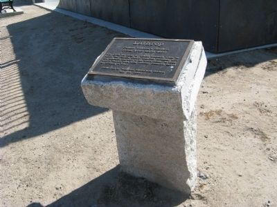
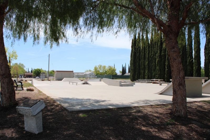
Location. 37° 49.202′ N, 121° 16.547′ W. Marker is in Lathrop, California, in San Joaquin County. It is at the intersection of East L Street and 7th Street, on the right when traveling east on East L Street. Marker is located inside the fence at the northeast corner of the Lathrop Skate Park. Touch for map. Marker is at or near this postal address: 1100 East L Street, Lathrop CA 95330, United States of America. Touch for directions.

Regionally, this marker is in the San Joaquin Valley and specifically in the Central Valley. It is also on the American Pacific
this page online
Other nearby markers. At least 8 other markers are within 5 miles of this marker, measured as the crow flies: Lathrop Veteran’s Memorial (approx. 0.2 miles away); America's First Coast-to-Coast Road (approx. 0.9 miles away); The Comet – 1846 – First Sail Launch (approx. 2.8 miles away); Finley’s Bar and Grill (approx. 3.3 miles away); California Chicory Works (approx. 3.8 miles away); Liberty Plot (approx. 4.1 miles away); William Campbell (approx. 4.1 miles away); French Camp (approx. 4.6 miles away). Touch for a list and map of all markers in Lathrop.
Other markers no longer nearby. The Shooting of David S. Terry (was about 500 feet away, measured in a direct line but has been confirmed missing); First Transcontinental Railroad (was approx. 2.8 miles away but has been confirmed missing).
Also see . . .
1. Lathrop History. (Submitted on June 16, 2009, by Syd Whittle of Mesa, Arizona.)
2. Sharpe Army Depot.
Photographed by Syd Whittle, June 14, 2009
2. Lathrop Marker
Photographed by Syd Whittle, June 14, 2009
3. Lathrop Marker
Photographed by Joseph Alvarado, April 21, 2023
4. Lathrop Marker
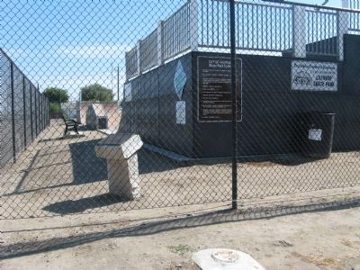
Photographed by Syd Whittle, June 14, 2009
5. Lathrop Marker
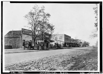
Photographed by Loc
6. Commercial Buildings In Lathrop
Credits. This page was last revised on April 24, 2023. It was originally submitted on June 16, 2009, by Syd Whittle of Mesa, Arizona. This page has been viewed 2,228 times since then and 103 times this year. Photos: 1. submitted on April 24, 2023, by Joseph Alvarado of Livermore, California. 2, 3. submitted on June 16, 2009, by Syd Whittle of Mesa, Arizona. 4. submitted on April 24, 2023, by Joseph Alvarado of Livermore, California. 5, 6. submitted on June 16, 2009, by Syd Whittle of Mesa, Arizona.
