Near Red Rock in Noble County, Oklahoma — The American South (West South Central)
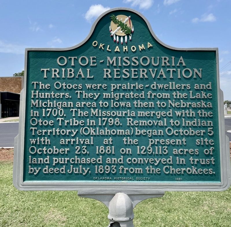
Otoe~Missouria Tribal Reservation
Erected 1981 by Oklahoma Historical Society.
Topics and series. This historical marker is listed in these topic lists: Native Americans • Settlements & Settlers. In addition, it is included in the Oklahoma Historical Society series list. A significant historical month for this entry is July 1893.
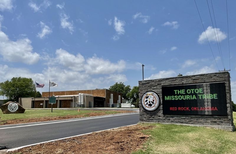
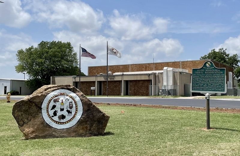
Location. 36° 29.475′ N, 97° 4.44′ W. Marker is near Red Rock, Oklahoma, in Noble County. Marker is at the intersection of County Road 220 and U.S. 177, on the right when traveling west on County Road 220. Located in front of the Otoe~Missouria Tribal Center. Touch for map. Marker is at or near this postal address: 8151 US-177, Red Rock OK 74651, United States of America. Touch for directions.
Other nearby markers. At least 8 other markers are within 10 miles of this marker, measured as the crow flies. Otoe Missouri Indians War Memorial (about 400 feet away, measured in a direct line); 101 Ranch (approx. 6.7 miles away); "Indian Trail Marker" (approx. 6.8 miles away); A John Deer Rowe Plow Seed Planter (approx. 9.1 miles away); a different marker also named 101 Ranch (approx. 9.2 miles away); Native American Involvement ...in the 101 Ranch (approx. 9.2 miles away); Two Old Potato Plows (approx. 9.2 miles away); 101 Dairy Barn Vent from Dairy Barn (approx. 9.2 miles away).
Also see . . . The 500 Year History of the Otoe & Missouria Tribes. (Submitted on June 15, 2022, by Mark Hilton of Montgomery, Alabama.)
Credits. This page was last revised on June 15, 2022. It was originally submitted on June 15, 2022, by Mark Hilton of Montgomery, Alabama. This page has been viewed 307 times since then and 32 times this year. Photos: 1, 2, 3. submitted on June 15, 2022, by Mark Hilton of Montgomery, Alabama.


