Bryson in Jack County, Texas — The American South (West South Central)
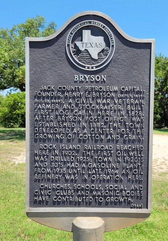
Bryson
Rock Island Railroad reached here in 1902. The first oil well was drilled 1925; town in 1920's and 30's had a gasoline plant, from 1935 until late 1964 an oil refinery was in operation here.
Churches, schools, social and civic clubs and Masonic bodies have contributed to growth.
Erected 1968 by State Historical Survey Committee. (Marker Number 551.)
Topics. This historical marker is listed in these topic lists: Industry & Commerce • Railroads & Streetcars • Settlements & Settlers. A significant historical year for this entry is 1878.
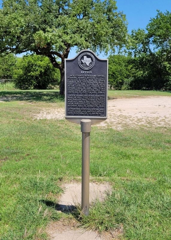
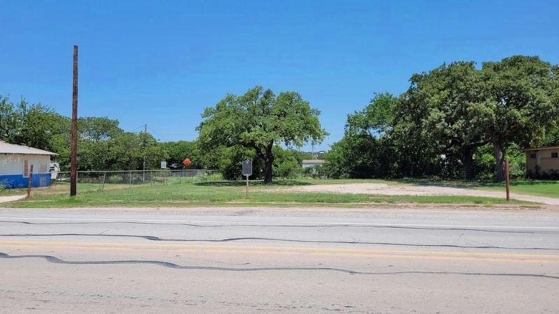
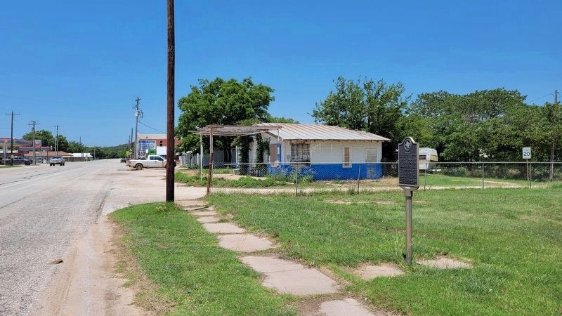
Location. 33° 9.691′ N, 98° 23.027′ W. Marker is in Bryson, Texas, in Jack County. Marker is at the intersection of East Dempsey Street (U.S. 380) and Boland Street, on the right when traveling west on East Dempsey Street. The marker is located along the sidewalk in front of an empty lot. Touch for map. Marker is at or near this postal address: 215 East Dempsey Street, Bryson TX 76427, United States of America. Touch for directions.
Other nearby markers. At least 8 other markers are within 15 miles of this marker, measured as the crow flies. Henry E. Bryson's Home (about 300 feet away, measured in a direct line); James Madison McCloud (approx. 0.2 miles away); First Methodist Church Jermyn, Texas (approx. 6.8 miles away); Community of Jermyn (approx. 7.1 miles away); Site of Loving Ranch House (approx. 7.4 miles away); Dr. & Mrs. J.W. Gallaher House (approx. 12.3 miles away); Standpipe Mountain (approx. 12.4 miles away); Gooseneck Cemetery (approx. 14.7 miles away). Touch for a list and map of all markers in Bryson.
Credits. This page was last revised on June 18, 2022. It was originally submitted on June 17, 2022, by James Hulse of Medina, Texas. This page has been viewed 126 times since then and 25 times this year. Photos: 1, 2, 3, 4. submitted on June 18, 2022, by James Hulse of Medina, Texas.


