Nicholsville in Savannah in Chatham County, Georgia — The American South (South Atlantic)
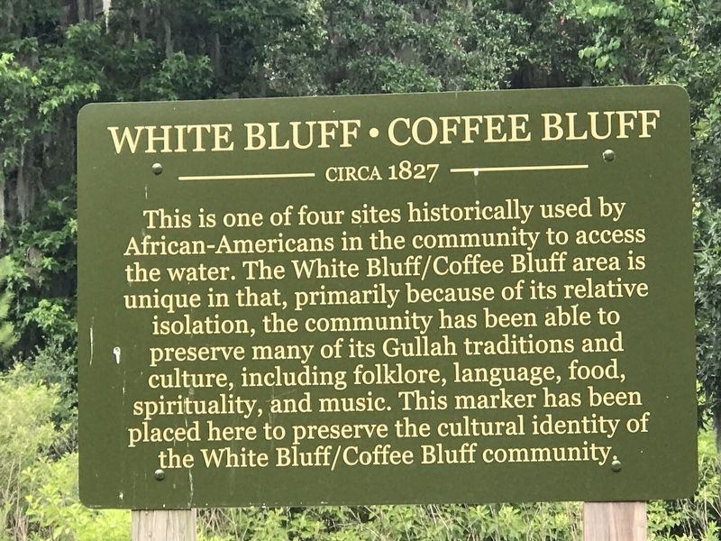
White Bluff Coffee Bluff
Circa 1827
Erected 2019.
Topics. This historical marker is listed in these topic lists: African Americans • Settlements & Settlers • Waterways & Vessels. A significant historical year for this entry is 1827.
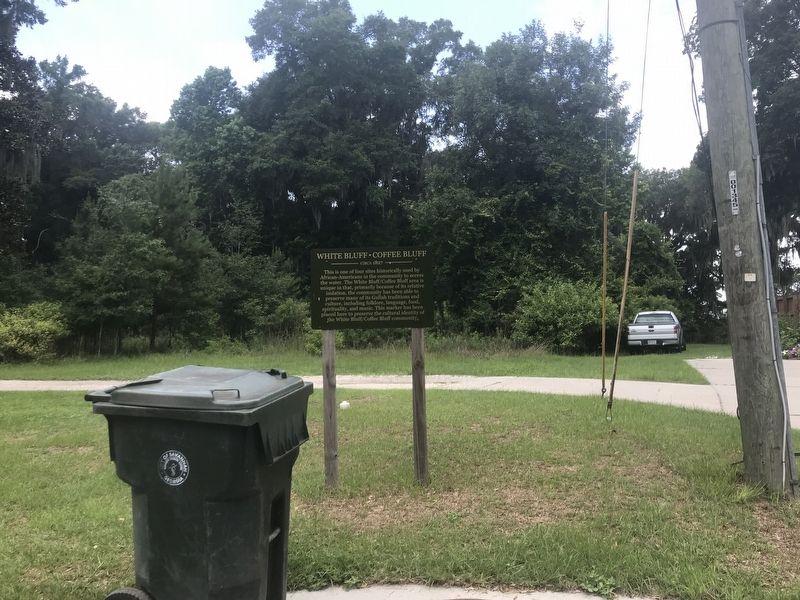
Location. 31° 56.814′ N, 81° 9.492′ W. Marker is in Savannah, Georgia, in Chatham County. It is in Nicholsville. Marker is on Coffee Bluff Villa Road, 0.1 miles west of Oak Pointe Trail when traveling west. Touch for map. Marker is at or near this postal address: 367 Coffee Bluff Villa Rd, Savannah GA 31419, United States of America. Touch for directions.
Other nearby markers. At least 8 other markers are within 3 miles of this marker, measured as the crow flies. A different marker also named White Bluff Coffee Bluff (about 500 feet away, measured in a direct line); a different marker also named White Bluff Coffee Bluff (approx. 0.6 miles away); a different marker also named White Bluff Coffee Bluff (approx. 1.3 miles away); Nicholsonboro (approx. 1½ miles away); Vernonburg (approx. 2.4 miles away); Capture of the USS "Water Witch" (approx. 2.4 miles away); St. Joseph's Hospital (approx. 2.7 miles away); Beaulieu Plantation (approx. 2.8 miles away). Touch for a list and map of all markers in Savannah.
Also see . . .
1. White Bluff-Coffee Bluff Community. Photo gallery of the community founded in 1868 by 200 former slaves, predominantly from nearby St. Catherine's Island. (Savannah Municipal Archives) (Submitted on June 18, 2022, by Duane and Tracy Marsteller of Murfreesboro, Tennessee.)
2. White Bluff, Georgia. Wikipedia entry on the area, which is a collection of small communities. (Submitted on June 18, 2022, by Duane and Tracy Marsteller of Murfreesboro, Tennessee.)
Credits. This page was last revised on February 8, 2023. It was originally submitted on June 18, 2022, by Duane and Tracy Marsteller of Murfreesboro, Tennessee. This page has been viewed 369 times since then and 75 times this year. Photos: 1, 2. submitted on June 18, 2022, by Duane and Tracy Marsteller of Murfreesboro, Tennessee.

