Near Mill Valley in Marin County, California — The American West (Pacific Coastal)
West Point Inn
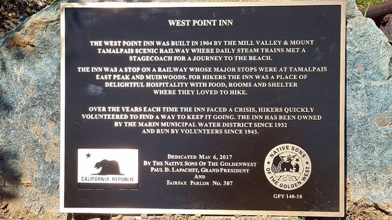
The inn was a stop on a railway whose major stops were at Tamalpais East Peak and Muirwoods. For hikers the inn was a place of delightful hospitality with food, rooms and shelter where they loved to hike.
Over the years each time the inn faced a crisis, hikers quickly volunteered to find a way to keep it going. The inn has been owned by the Marin Municipal Water District since 1932 and run by volunteers since 1943.
Erected 2017. (Marker Number 140-10.)
Topics and series. This historical marker is listed in these topic lists: Industry & Commerce • Railroads & Streetcars. In addition, it is included in the Native Sons/Daughters of the Golden West series list. A significant historical year for this entry is 1904.
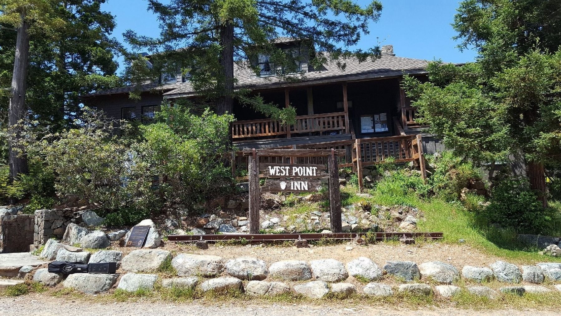
Location. 37° 54.989′ N, 122° 35.63′ W. Marker is near Mill Valley, California, in Marin County. Marker is on Old Railroad Grade Fire Road. The West Point Inn is really out in the boonies (listen for banjos) and the marker is next to the steps to the building. Touch for map. Marker is at or near this postal address: 100 Old Railroad Grade Fire Road, Mill Valley CA 94941, United States of America. Touch for directions.
Other nearby markers. At least 8 other markers are within 3 miles of this marker, measured as the crow flies. United Nations Conference on International Organization (approx. 1.6 miles away); Redwoods and Their Relatives (approx. 1.8 miles away); Preserving the Forest Primeval (approx. 2 miles away); Fall in Muir Woods (approx. 2 miles away); Reed's Mill (approx. 2.3 miles away); Mill Valley Railroad Depot (approx. 2.6 miles away); Old Mill Market Hikers' Trail Map (approx. 2.6 miles away); Outdoor Art Club (approx. 2.7 miles away). Touch for a list and map of all markers in Mill Valley.

Photographed By Paul Lapachet, PGP NSGW
3. The View
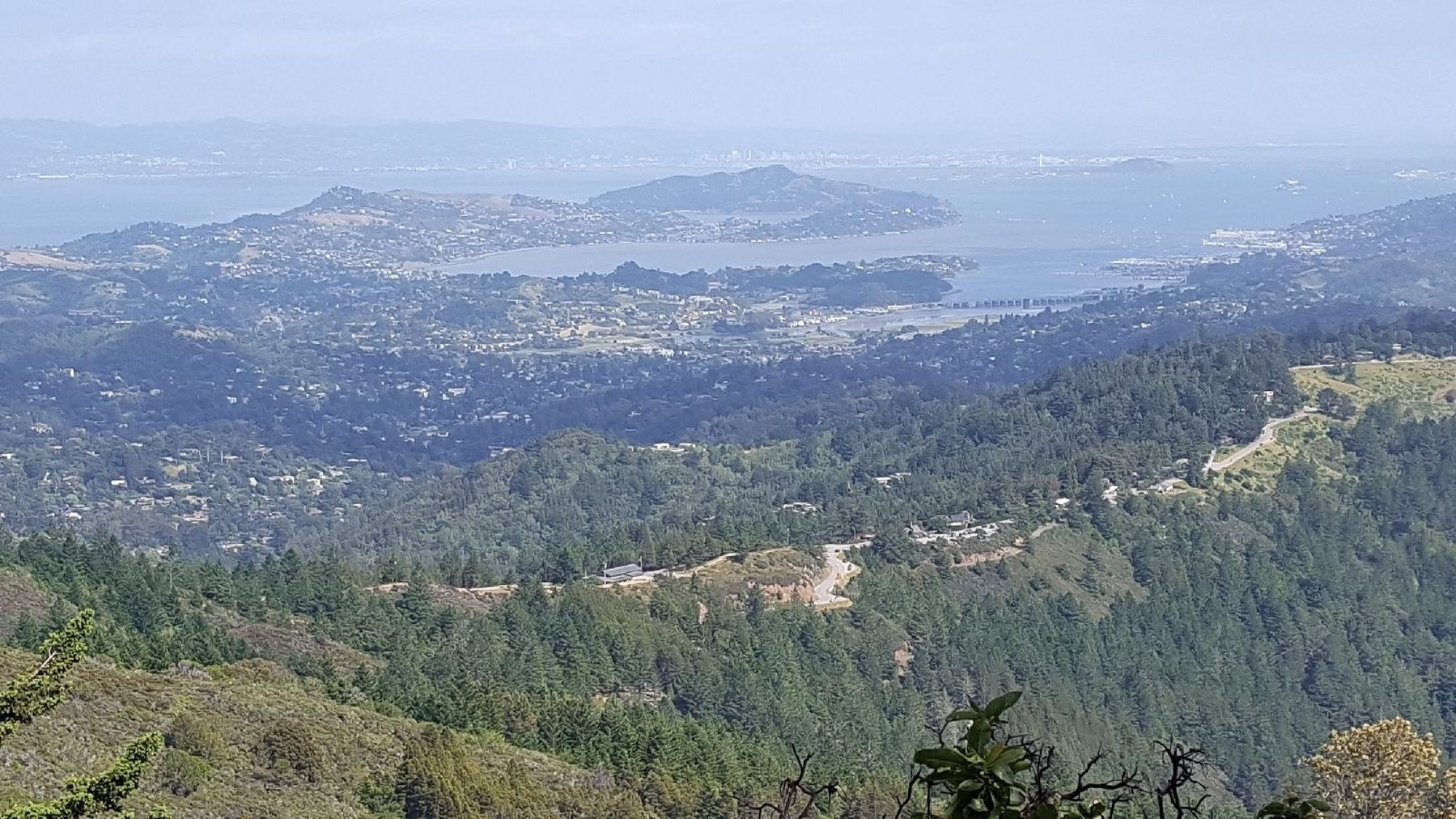
San Francisco Bay as seen from the slopes of Mt. Tamalpais. San Francisco, not really visible here, would be in the upper right, while the somewhat more visible cities of Berkeley and Oakland are to be seen on the far side of the Bay. More easily seen are Tiburon (pretty much in the middle), and Mill Valley - on the right side of the smaller bay to the right.
Credits. This page was last revised on June 22, 2022. It was originally submitted on July 1, 2021, by James King of San Miguel, California. This page has been viewed 359 times since then and 47 times this year. Last updated on June 19, 2022, by James King of San Miguel, California. Photos: 1, 2, 3. submitted on July 1, 2021, by James King of San Miguel, California. 4. submitted on July 2, 2021. • Andrew Ruppenstein was the editor who published this page.


