Oregonia in Warren County, Ohio — The American Midwest (Great Lakes)
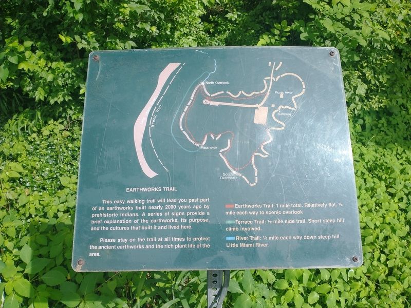
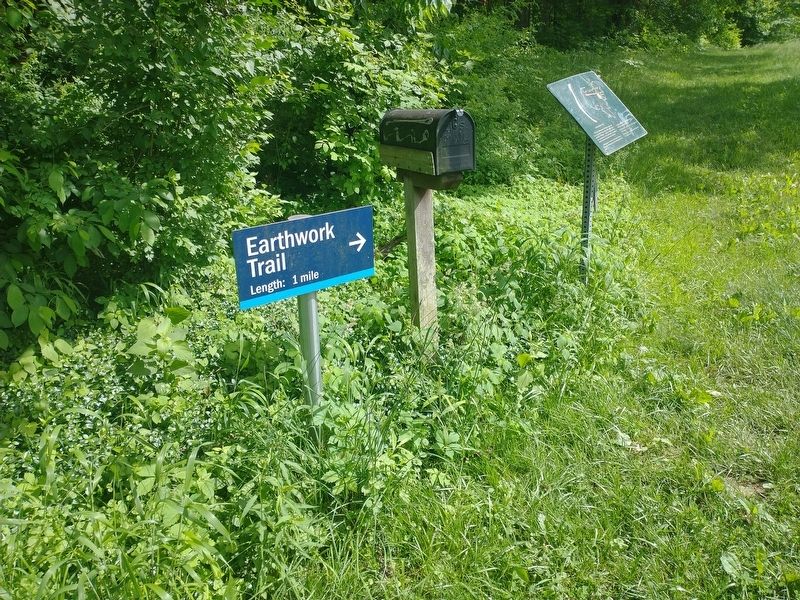
Earthworks Trail
Pleas stay on the trail at all times to protect the ancient earthworks and the rich plant life of the area
Earthwork Trail: 1 mile total, Relatively flat. 1/4 mile each way to scenic overlook.
Terrace Trail: 1/2 mile side trail. Short steep hil climb involved.
River Trail: 1/4 mile each way down steep hill Little Miami River.
Topics. This historical marker is listed in this topic list: Native Americans. A significant historical year for this entry is 2000.
Location. 39° 23.908′ N, 84° 5.66′ W. Marker is in Oregonia, Ohio, in Warren County. Marker is on Ohio Route 340, on the right when traveling east. Touch for map. Marker is in this post office area: Oregonia OH 45054, United States of America. Touch for directions.
Other nearby markers. At least 8 other markers are within walking distance of this marker. Fort Ancient Earthworks (about 400 feet away, measured in a direct line); The Great Gateway (about 500 feet away); Fort Ancient (about 500 feet away); The Civilian Conservation Corps (about 500 feet away); Changes at Fort Ancient (about 500 feet away); The Myth of the Mound Builders (approx. 0.2 miles away); Fort Ancient Dwelling (approx. 0.2 miles away); Fort Ancient Prehistoric Indian Earthworks (approx. ¼ mile away).
Credits. This page was last revised on July 1, 2022. It was originally submitted on June 21, 2022, by Craig Doda of Napoleon, Ohio. This page has been viewed 62 times since then and 14 times this year. Photos: 1, 2. submitted on June 21, 2022, by Craig Doda of Napoleon, Ohio. • Bill Pfingsten was the editor who published this page.

