Simi Valley in Ventura County, California — The American West (Pacific Coastal)
Railroad Tunnel Mound
Corriganville
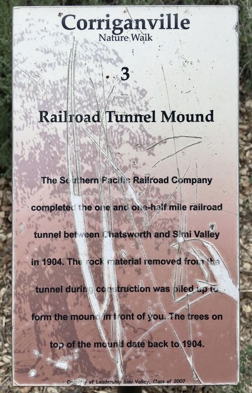
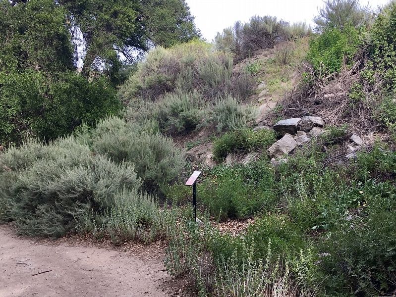
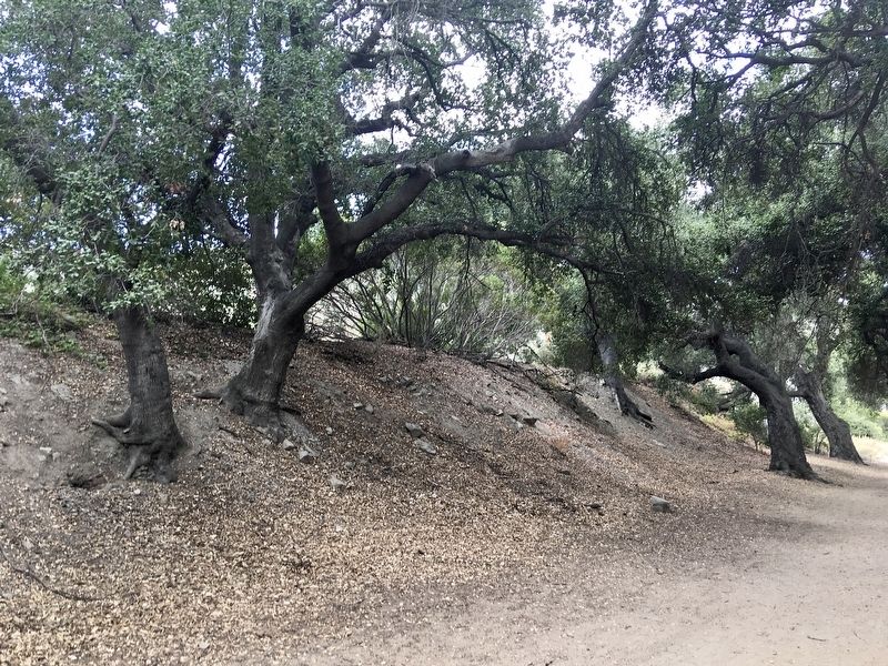
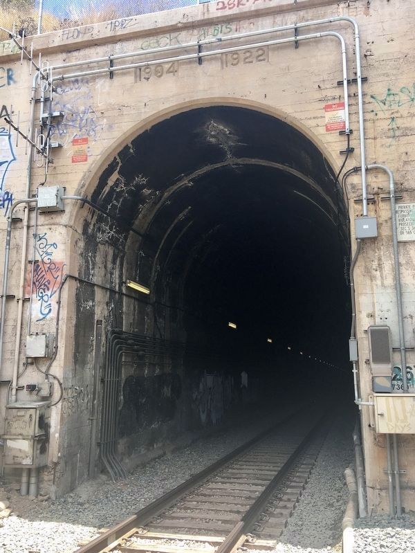
The Southern Pacific Railroad Company completed the one and one-half mile railroad tunnel between Chatsworth and Simi Valley in 1904. The rock material removed from the tunnel during construction was piled up to form the mound in front of you. The trees on top of the mound date back to 1904.
Erected 2007 by Leadership Simi Valley Class of 2007.
Topics. This historical marker is listed in this topic list: Railroads & Streetcars. A significant historical year for this entry is 1904.
Location. 34° 15.917′ N, 118° 39.091′ W. Marker is in Simi Valley, California, in Ventura County. Marker can be reached from Smith Road, half a mile east of Kuehner Drive. The marker is located in Corriganville Park, 500 feet east of the parking lot. Touch for map. Marker is at or near this postal address: 7001 Smith Rd, Simi Valley CA 93063, United States of America. Touch for directions.
Other nearby markers. At least 8 other markers are within walking distance of this marker. Trail Blazers Cave (about 300 feet away, measured in a direct line); Canyon Rock (about 400 feet away); Vendetta Village (about 700 feet away); Silvertown (about 800 feet away); Concrete Pool (about 800 feet away); Robin Hood Lake (approx. 0.2 miles away); a different marker also named Vendetta Village (approx. 0.2 miles away); Fort Apache (approx. 0.2 miles away). Touch for a list and map of all markers in Simi Valley.
Regarding Railroad Tunnel Mound. This tunnel is the first of three tunnels, and the longest, at 7,369 feet. It created a shorter route to the coastal line north from Los Angeles, bypassing the Newhall Tunnel. This route is still used today by passenger and freight trains.
Note: There is not enough room inside the tunnel when a train passes - Keep out.
Credits. This page was last revised on December 9, 2022. It was originally submitted on June 23, 2022, by Craig Baker of Sylmar, California. This page has been viewed 335 times since then and 58 times this year. Photos: 1, 2, 3, 4. submitted on June 23, 2022, by Craig Baker of Sylmar, California.


