Kirkella in Wallace – Woodworth Municipality, Manitoba — Canada’s Prairie Region (North America)
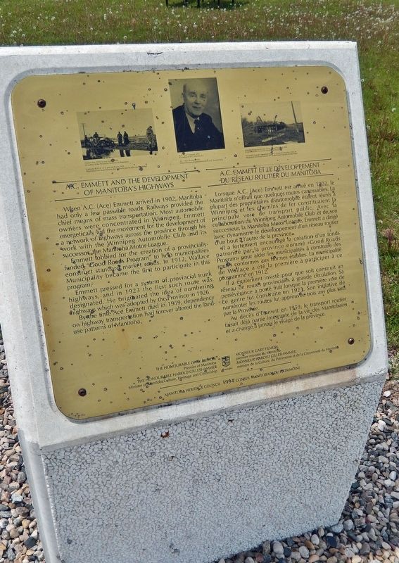
A.C. Emmett and the Development of Manitoba's Highways
A.C. Emmett et le développement du réseau routier du Manitoba
Inscription.
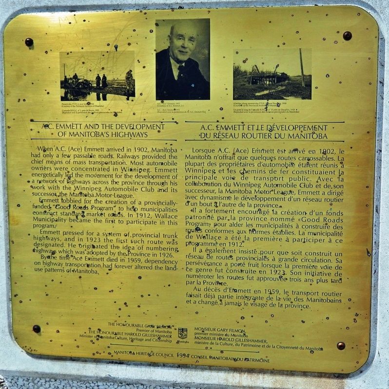
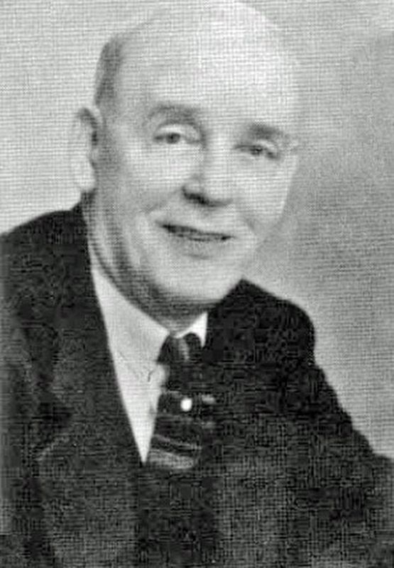
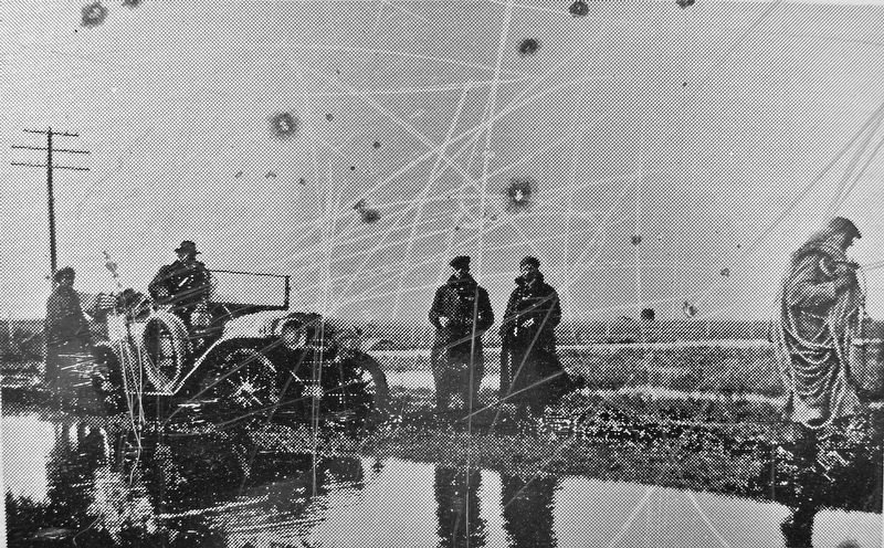
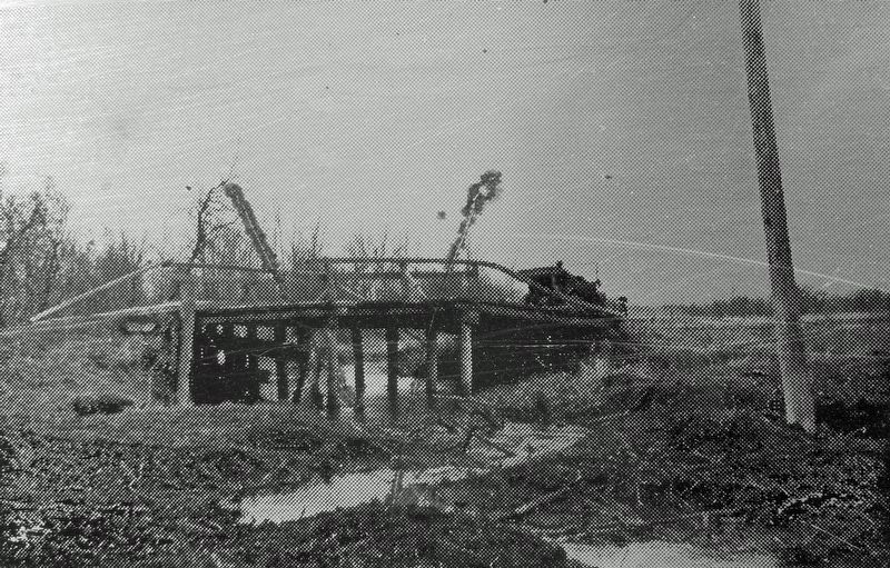
When A.C. (Ace) Emmett arrived in 1902, Manitoba had only a few passable roads. Railways provided the chief means of mass transportation. Most automobile owners were concentrated in Winnipeg. Emmett energetically led the movement for the development of a network of highways across the province through his work with the Winnipeg Automobile Club and its successor, the Manitoba Motor League.
Emmett lobbied for the creation of a provincially-funded "Good Roads Program" to help municipalities construct standard market roads. In 1912, Wallace Municipality became the first to participate in this program.
Emmett pressed for a system of provincial trunk highways, and in 1923 the first such route was designated. He originated the idea of numbering highways which was adopted by the province in 1926.
By the time Ace Emmett died in 1959, dependency on highway transportation had forever altered the land-use patterns of Manitoba.
The Honourable Gary Filmon,
Premier of Manitoba
The Honourable Harold Gilleshammer,
Minister of Manitoba Culture, Heritage and Citizenship
Lorsque A.C. (Ace) Emmett est arrivé en 1902, le Manitoba n'offrait que quelques routes carrossables. La plupart des propriétaires d'automobile étalent réunis à Winnipeg et les chemins de fer constituaient la principale voie de transport public. Avec la collaboration du Winnipeg Automobile Club et de son successeur, la Manitoba Motor League, Emmett a dirigé avec dynamisme le développement d'un réseau routier d'un bout à l’autre de la province.
Il a fortement encouragé la création d'un fonds patronné par la province nommé «Good Roads Program» pour aider les municipalités à construire des routes conformes aux normes établies. La municipalité de Wallace a été la première à participer à ce programmé en 1912.
Il a également insisté pour que soit construit un réseau de routes provinciales à grande circulation. Sa persévérance a porté fruit lorsque la première voie de ce genre fut construite en 1923. Son initiative de numéroter les routes fut approuvée trois ans plus tard par la Province.
Au décès d'Emmett en 1959, le transport routier faisait déjà partie intégrante de la vie des Manitobains et a changé â jamais le visage de la province.
Monsieur Gary Filmon,
premier ministre du Manitoba
Monsieur Harold Gilleshammer,
ministre de la Culture, du Patrimoine et de la Citoyenneté du Manitoba
Erected
1994 by Manitoba Heritage Council / Conseil Manitobain du patrimoine.
Topics. This historical marker is listed in this topic list: Roads & Vehicles. A significant historical year for this entry is 1912.
Location. 50° 1.832′ N, 101° 22.157′ W. Marker is in Kirkella, Manitoba, in Wallace – Woodworth Municipality. Marker can be reached from Trans-Canada Highway (National Highway 1) 0.6 kilometers east of Provincial Highway 542, on the right when traveling east. Marker is located at the Manitoba Visitor Information Centre in Kirkella. Touch for map. Marker is at or near this postal address: 2012 Trans-Canada Highway, Kirkella MB R0M 1A0, Canada. Touch for directions.
Other nearby markers. At least 1 other marker is within 11 kilometers of this marker, measured as the crow flies. Elkhorn Veterans Memorial (approx. 11.1 kilometers away).
Also see . . .
1. Memorable Manitobans: Arthur Coates “Ace” Emmett (1872-1959).
He was one of the first 50 men to own a car in Winnipeg and the first to drive across the prairie. He was a founder of the old Winnipeg Motor Club and later the Manitoba Motor League. He was also the founder of the motor associations in British Columbia, Alberta, and Saskatchewan. Emmett drew up the first road maps and motor guides in Western Canada and was credited with originating the system of numbering highways, a system now used around the world. He was a life member and one of the founders of the Manitoba Good Roads Association and honorary life member of the Canadian Good Roads Association.(Submitted on June 24, 2022, by Cosmos Mariner of Cape Canaveral, Florida.)
2. A. C. Emmett and the Development of Good Roads in Manitoba.
In 1921 Emmett actually created a plan for a provincial trunk highway system, a plan that would later be adopted by the government. Published in a twenty-page pocket-sized booklet, the proposal advocated a complete system of Trunk High-ways, covering 2400 miles. In promoting the plan, Emmett stressed the impact of good roads on colonization, land values, social conditions, tourism, and schools. Told by the provincial government that if the Manitoba Motor League really wanted such a system it would have to convince the people of Manitoba, Emmett began travelling across the province, “drumming up” support for the idea.(Submitted on June 24, 2022, by Cosmos Mariner of Cape Canaveral, Florida.)
Credits. This page was last revised on June 24, 2022. It was originally submitted on June 24, 2022, by Cosmos Mariner of Cape Canaveral, Florida. This page has been viewed 63 times since then and 8 times this year. Photos: 1, 2, 3, 4, 5, 6. submitted on June 24, 2022, by Cosmos Mariner of Cape Canaveral, Florida.
