Centro Histórico in Ciudad de México, Mexico — The Valley of Mexico (The Central Highlands)
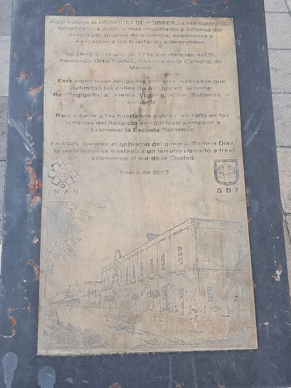
Hospicio de Pobres
Se abrió en el año de 1774 a instancias del Sr. Fernando Ortiz Cortés, Chantre de la Catedral de Mexico.
Esta edificación ocupó las actuales manzanas que delimitan las calles de Av. Juarez, al norte; Revillagigedo, al oriente, Victoria, al sur; Balderas, al poniente.
Para educar a los huérfanos pobres, en 1806 en los terrenos del hospicio se concluyo y empezó a funcionar la Escuela Patriotica.
En 1905, durante el gobierno del general Porfirio Diaz, la institución se traslado a un terreno ubicado a tres kilómetros al sur de la Ciudad.
Enero de 2012
Here was the Hospice of the Poor, the most important and extensive public charity of the Viceroyalty. It provided sustenance, teaching and education to orphans and those without forms of support.
It was opened in 1774 at the behest of Fernando Ortiz Cortés, Chantre of the Cathedral of Mexico.
This building occupied the current blocks that delimit the streets of Avenida Juárez, to the north; Revillagigedo, to the east, Victoria, to the south; Balderas, to the west.
To educate poor orphans, in 1806 on the grounds of the hospice was completed and began to operate the Patriotic School.
In 1905, during the government of General Porfirio Diaz, the institution moved to a property located three kilometers south of the city.
January 2012
Erected 2012.
Topics. This historical marker is listed in these topic lists: Charity & Public Work • Churches & Religion • Colonial Era. A significant historical month for this entry is January 2012.
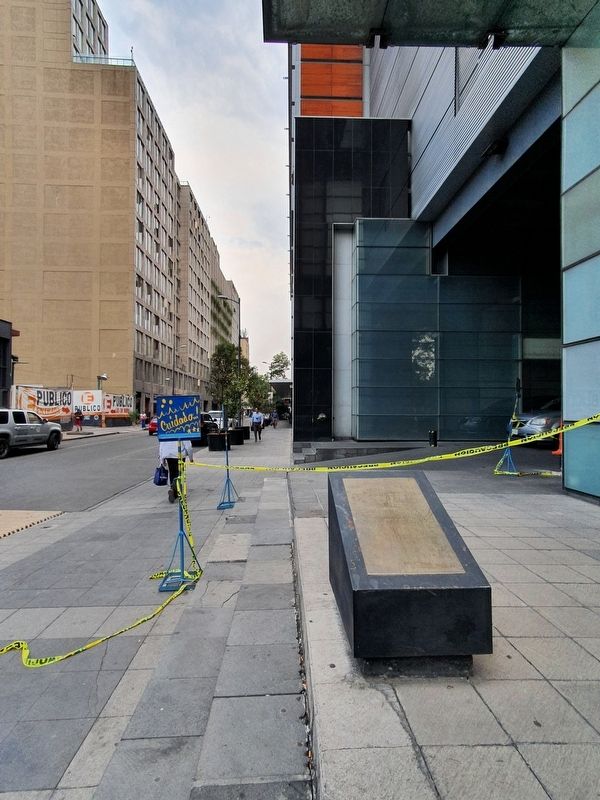
Location. 19° 26.092′ N, 99° 8.752′ W. Marker is in Ciudad de México. It is in Centro Histórico. Marker is on Revillagigedo just south of Avenida Juárez, on the right when traveling south. Touch for map. Marker is in this post office area: Ciudad de México 06000, Mexico. Touch for directions.
Other nearby markers. At least 8 other markers are within walking distance of this marker. La Casa de Maternidad (within shouting distance of this marker); Museum of Popular Art (about 120 meters away, measured in a direct line); The Convent of San Diego and the Inquisition (about 180 meters away); The Juárez Hemicycle (about 180 meters away); First Mass Arrest of Gays in Mexico (about 210 meters away); Angel Albino Corzo (approx. 0.3 kilometers away); Jesús Terán (approx. 0.3 kilometers away); The Temple of San Hipólito (approx. 0.3 kilometers away). Touch for a list and map of all markers in Ciudad de México.
Credits. This page was last revised on June 24, 2022. It was originally submitted on June 24, 2022, by J. Makali Bruton of Accra, Ghana. This page has been viewed 76 times since then and 13 times this year. Photos: 1, 2. submitted on June 24, 2022, by J. Makali Bruton of Accra, Ghana.

