Destrehan in St. Charles Parish, Louisiana — The American South (West South Central)
Destrehan Plantation
1811 Slave Revolt
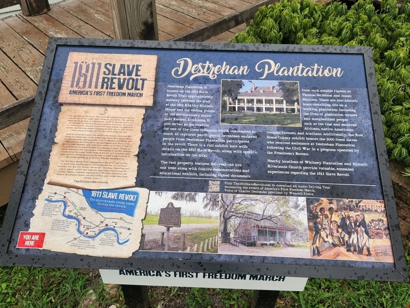
Destrehan Plantation is located on the 1811 Slave Revolt Trail approximately midway between the start at the 1811 Kid Ory Historic House and the ending points of the revolutionary march near Kenner, Louisiana It also served as the location for one of the three tribunals which condemned to death 45 captured participants. Seventeen enslaved people from Destrehan Plantation participated in the revolt. There is a full exhibit here with details on the 1811 Slave Revolt, along with specific information on the trial. The vast property features 200-year-old live oak trees along with folklife demonstrations and educational exhibits, including signed documents from such notable figures as Thomas Jefferson and James Madison. There are also historic tours describing life on a working plantation including the lives of plantation owners and marginalized people such as the free and enslaved Africans, native Americans, German farmers, and Acadians. Additionally, the Rost Home Colony exhibit honors the 2000 freed slaves who received assistance at Destrehan Plantation following the Civil War in a program operated by the Freedmen's Bureau. Nearby locations of Whitney Plantation and Historic Riverlands Church provide valuable, extended experiences regarding the 1811 Slave Revolt.
America's First Freedom March
On the night of January 8, 1811, up to 500 enslaved people took up arms in one of the largest slave revolts in U.S. history. The uprising began on the grounds of a plantation owned by Manuel Andry, now the 1811 Kid Ory Historic House in LaPlace, Louisiana. The group of revolutionaries marched down River Road killing two plantation owners and torching several buildings on their way to New Orleans. Other enslaved joined the two-day march along the way.
After an initial encounter with militia near Kenner, Louisiana, the group was forced back to near present-day Norco (New Sarpy), where a brutal encounter and subsequent trials at Destrehan Plantation and other locations left about 100 of the participants dead. Many of the enslaved were beheaded, with their heads staked on the levee in front of the plantations for nearly 60 miles as a warning to others. Though this action was technically unsuccessful, reverberations of the 1811 rebellion echoed across the young United States. It was the first of several large- scale, militant actions against slavery that occurred across the South in the decades leading up to the Civil War and Emancipation.
The 1811 Slave Revolt Trail commemorates the revolt and journey of these brave revolutionaries. Travel between the two trailhead locations, 1811 Kid Ory Historic House and Destrehan Plantation, and stop at specific points that highlight significant events along the journey. Nearby extended experiences at Whitney Plantation and Historic Riverlands Church also help visitors gain insight into these historic events.
The1811SlaveRevolt.com
Erected by Louisiana's River Parishes.
Topics. This historical marker is listed in these topic lists: Civil Rights • Notable Buildings. A significant historical date for this entry is January 8, 1811.
Location. 29° 56.697′ N, 90° 21.874′ W. Marker is in Destrehan, Louisiana, in St. Charles Parish. Marker is on River Road (State Highway 48). Touch for map. Marker is at or near this postal address: 13034 River Road, Destrehan LA 70047, United States of America. Touch for directions.
Other nearby markers. At least 8 other markers are within 2 miles of this marker, measured as the crow flies. Destrehan Manor House (about 300 feet away, measured in a direct line); Mule Barn (about 500 feet away); George Prince Ferry Memorial (approx. 0.4 miles away); Hale Boggs Bridge (approx. 0.4 miles away); Saint Charles Borromeo Church (approx. 0.7 miles away); St. Charles Borromeo "Little Red Church" (approx. ¾ mile away); a different marker also named Hale Boggs Bridge (approx. 0.9 miles away); "Denver" (approx. 1.4 miles away). Touch for a list and map of all markers in Destrehan.
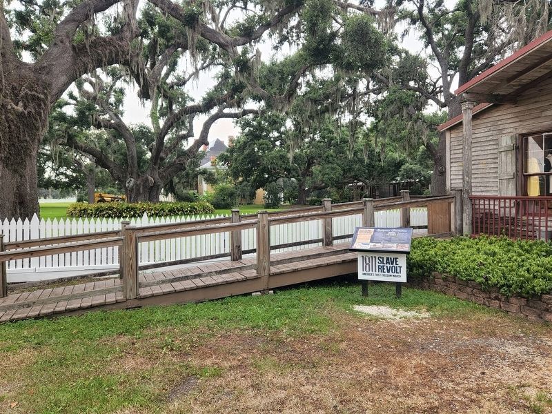
More about this marker. Located at the Destrehan Plantation visitors center.
Also see . . . 1811 Slave Revolt Official Page. (Submitted on June 26, 2022, by Cajun Scrambler of Assumption, Louisiana.)
Credits. This page was last revised on June 26, 2022. It was originally submitted on June 26, 2022, by Cajun Scrambler of Assumption, Louisiana. This page has been viewed 181 times since then and 34 times this year. Photos: 1, 2. submitted on June 26, 2022, by Cajun Scrambler of Assumption, Louisiana.

