Near Big Sur in Monterey County, California — The American West (Pacific Coastal)
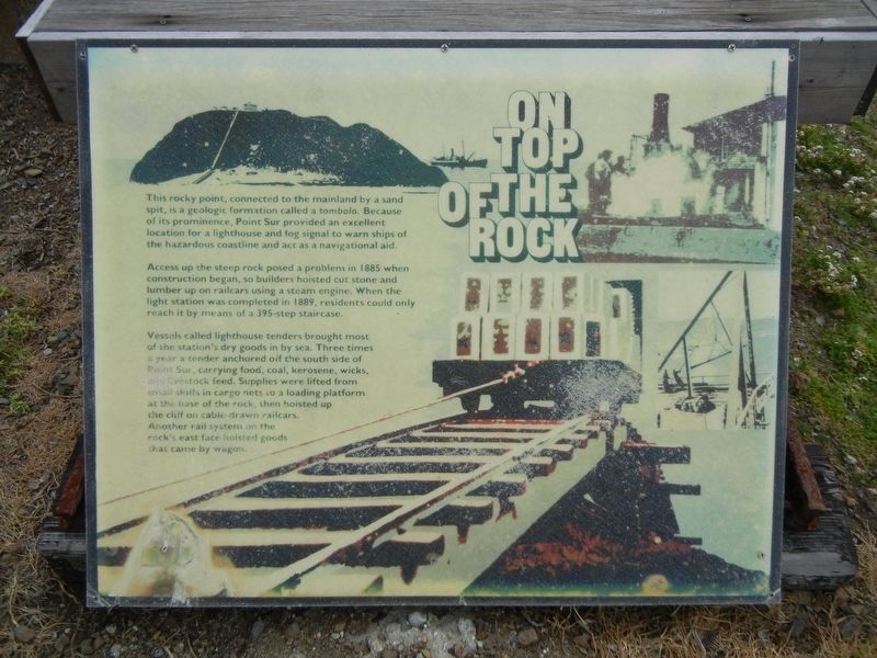
On Top of the Rock
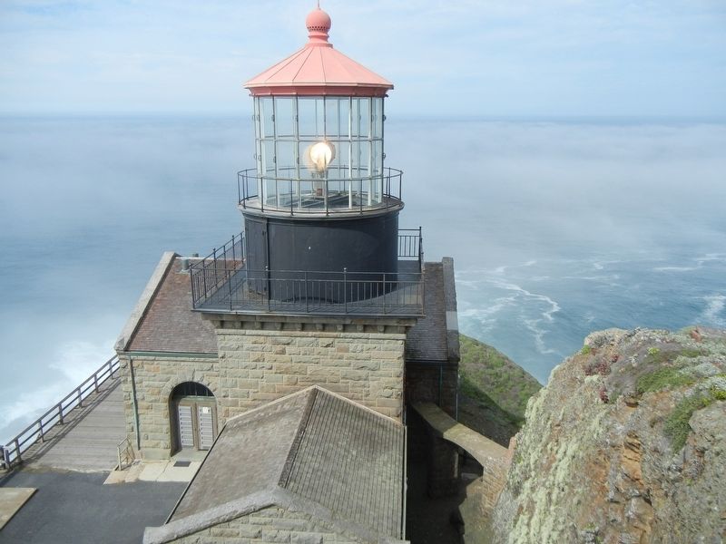
Access up the steep rock posed a problem in 1885 when construction began, so builders hoisted cut stone and lumber up on railcars using a steam engine. When the light station was completed in 1889, residents could only reach it by means of a 395-step staircase.
Vessels called lighthouse tenders brought most of the station's dry goods in by sea. Three times a year a tender anchored off the south side of Point Sur, carrying food, coal, kerosene, wicks, and livestock feed. Supplies were lifted from small skiffs in cargo nets to a loading platform at the base of the rock, then hoisted up the cliff on cable-drawn railcars. Another rail system on the rock's east face hoisted goods that came by wagon.
Topics. This historical marker is listed in these topic lists: Railroads & Streetcars • Waterways & Vessels. A significant historical year for this entry is 1885.
Location. 36° 18.374′ N, 121° 54.099′ W. Marker is near Big Sur, California, in Monterey County. Marker can be reached from Cabrillo Highway (State Highway 1 at milepost 54). Marker is at Point Sur Lighthouse (access limited to tour groups). Touch for map. Marker is in this post office area: Big Sur CA 93920, United States of America. Touch for directions.
Other nearby markers. At least 3 other markers are within 3 miles of this marker, measured as the crow flies. End of an Era (approx. 0.2 miles away); Point Sur Light Station (approx. ¼ mile away); Cooper Cabin (approx. 3.1 miles away).
Credits. This page was last revised on June 28, 2022. It was originally submitted on July 21, 2021, by Duane and Tracy Marsteller of Murfreesboro, Tennessee. This page has been viewed 130 times since then and 8 times this year. Last updated on June 28, 2022, by Joseph Alvarado of Livermore, California. Photos: 1. submitted on July 21, 2021, by Duane and Tracy Marsteller of Murfreesboro, Tennessee. 2. submitted on July 22, 2021, by Duane and Tracy Marsteller of Murfreesboro, Tennessee. • Syd Whittle was the editor who published this page.

