Wilkes-Barre in Luzerne County, Pennsylvania — The American Northeast (Mid-Atlantic)
Main Street
Remembering Agnes: 50 Years After The Flood
— Walking Tour Stop 1 —
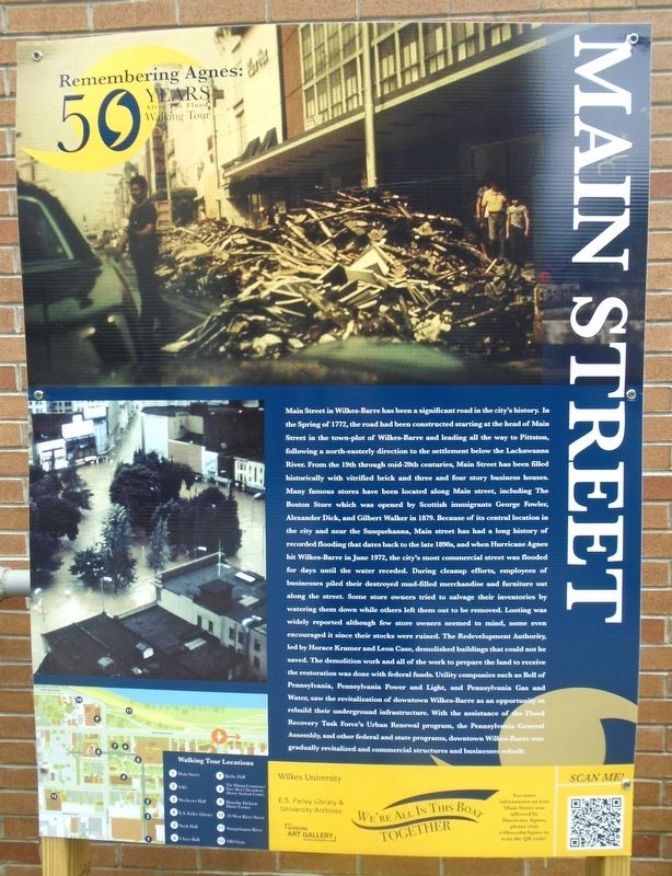
Main Street in Wilkes-Barre has been a significant road in the city's history. In the Spring of 1772, the road had been constructed starting at the head of Main Street in the town-plot of Wilkes-Barre and leading all the way to Pittston, following a north-easterly direction to the settlement below the Lackawanna River. From the 19th through mid-20th centuries, Main Street has been filled historically with vitrified brick and three and four story business houses. Many famous stores have been located along Main [S]treet, including The Boston Store which was opened by Scottish immigrants George Fowler, Alexander Dick, and Gilbert Walker in 1879.
Because of its central location in the city and near the Susquehanna [River], Main [S]treet has had a long history of recorded flooding that dates back to the late 1890s, and when Hurricane Agnes hit Wilkes-Barre in June 1972, the city's most commercial street was flooded for days until the water receded. During cleanup efforts, employees of businesses piled their destroyed mud-filled merchandise and furniture out along the street. Some store owners tried to salvage their inventories by watering them down while others left them out to be removed. Looting was widely reported although few store owners seemed to mind, some even encouraged it since their stocks were ruined.
The Redevelopment Authority, led by Horace Kramer and Leon Case, demolished buildings that could not be saved. The demolition work and all of the work to prepare the land to receive the restoration was done with federal funds. Utility companies such as Bell of Pennsylvania, Pennsylvania Power and Light, and Pennsylvania Gas and Water, saw the revitalization of downtown Wilkes-Barre as an opportunity to rebuild their underground infrastructure. With the assistance of the Flood Recovery Task Force's Urban Renewal program, the Pennsylvania General Assembly, and other federal and state programs, downtown Wilkes-Barre was gradually revitalized and commercial structures and businesses rebuilt.
[Paragraphed for ease of reading]
Erected 2022 by Wilkes University.
Topics. This historical marker is listed in these topic lists: Disasters • Industry & Commerce • Settlements & Settlers • Waterways & Vessels. A significant historical month for this entry is June 1972.
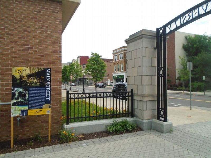
Location. 41° 14.59′ N, 75° 53.222′ W. Marker is in Wilkes-Barre, Pennsylvania, in Luzerne County. Marker is on Main Street north of South Street, on the left when traveling north. Marker is just inside the South Gateway walking path leading from Main Street into the Wilkes University campus. Touch for map. Marker is at
or near this postal address: 141 South Main Street, Wilkes Barre PA 18701, United States of America. Touch for directions.
Other nearby markers. At least 8 other markers are within walking distance of this marker. Sordoni Art Gallery (within shouting distance of this marker); Weckesser Hall (about 400 feet away, measured in a direct line); John L. Lewis Speech (about 500 feet away); Slattery Home Site (about 600 feet away); E. S. Farley Library (about 600 feet away); Veterans Memorial Court (about 700 feet away); John Wilkes (about 700 feet away); Stark Hall (about 700 feet away). Touch for a list and map of all markers in Wilkes-Barre.
Credits. This page was last revised on June 29, 2022. It was originally submitted on June 29, 2022, by William Fischer, Jr. of Scranton, Pennsylvania. This page has been viewed 116 times since then and 18 times this year. Photos: 1, 2. submitted on June 29, 2022, by William Fischer, Jr. of Scranton, Pennsylvania.

