Wilkes-Barre in Luzerne County, Pennsylvania — The American Northeast (Mid-Atlantic)
"Lady of the Valley"
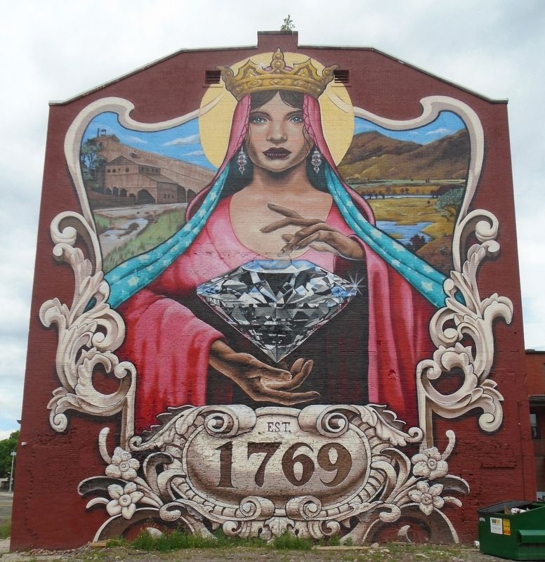
Photographed by William Fischer, Jr., June 27, 2022
1. "Lady of the Valley" Mural
• Coal breaker/colliery [at upper left highlights the Wyoming Valley's rich anthracite coal mining history]
• Wyoming Valley scene [at upper right highlights the region prior to Euro-american settlement]
• Diamond [represents the name given to Wilkes-Barre: The Diamond City]
Erected 2021 by the Street Art Society of NEPA and artist Evan Lovett.
Topics. This historical marker is listed in these topic lists: Arts, Letters, Music • Charity & Public Work • Settlements & Settlers. A significant historical year for this entry is 1769.
Location. 41° 14.888′ N, 75° 52.981′ W. Marker is in Wilkes-Barre, Pennsylvania, in Luzerne County. It is on Franklin Street north of Market Street, on the left when traveling north. Touch for map. Marker is at or near this postal address: 30 North Franklin Street, Wilkes-Barre PA, United States of America. Touch for directions.

Regionally, this marker is in Anthracite Coal Region and in the Wyoming Valley. It is also in the American Northeast, in the Mid-Atlantic, in Appalachia, and specifically in Northern Appalachia. Globally, it is in North
this page online
Other nearby markers. At least 8 other markers are within walking distance of this marker: American Institute of Mining Engineers (about 400 feet away, measured in a direct line); King's College (about 600 feet away); Florence Foster Jenkins (about 700 feet away); Miners Memorial (about 700 feet away); Wilkes-Barre Fort (about 800 feet away); AIME (about 800 feet away); Fort Wilkes Barre 1778 (about 800 feet away); Public Square Park (about 800 feet away). Touch for a list and map of all markers in Wilkes-Barre.
Also see . . .
1. History of Wilkes-Barre PA. (Submitted on June 29, 2022, by William Fischer, Jr. of Reynoldsburg, Ohio.)
2. 'The Lady of the Valley' mural completed in Wilkes-Barre (WNEP, 2021). (Submitted on June 29, 2022, by William Fischer, Jr. of Reynoldsburg, Ohio.)
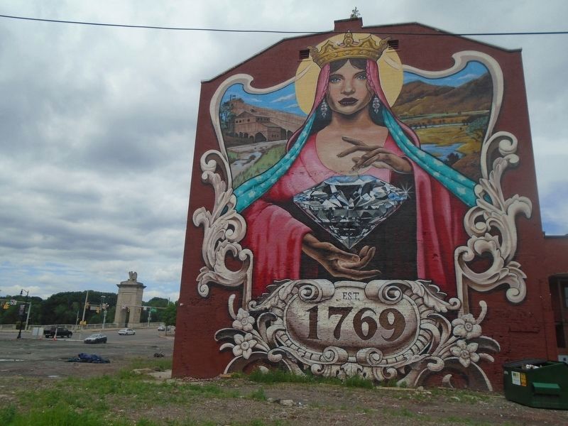
Photographed by William Fischer, Jr., June 27, 2022
2. "Lady of the Valley" Mural
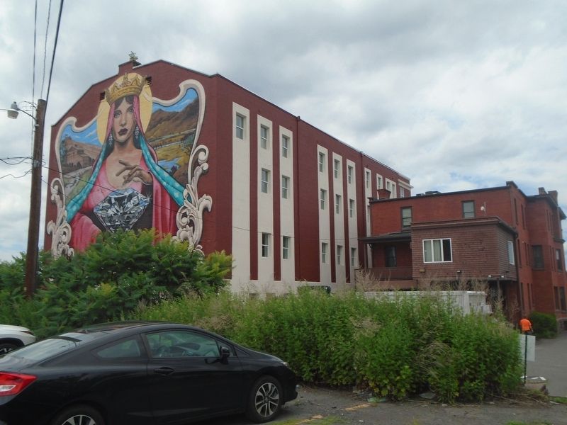
Photographed by William Fischer, Jr., June 27, 2022
3. "Lady of the Valley" Mural
Credits. This page was last revised on July 16, 2026. It was originally submitted on June 29, 2022, by William Fischer, Jr. of Reynoldsburg, Ohio. This page has been viewed 661 times since then and 70 times this year. Photos: 1, 2, 3. submitted on June 29, 2022, by William Fischer, Jr. of Reynoldsburg, Ohio.
