Near Chidester in Ouachita County, Arkansas — The American South (West South Central)
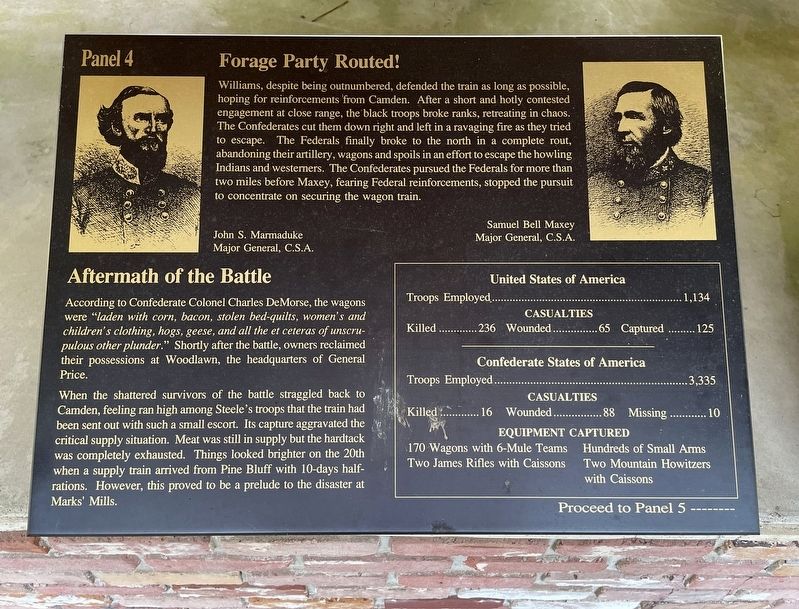
Forage Party Routed!
— Panel 4 —
Aftermath of the Battle
According to Confederate Colonel Charles DeMorse, the wagons were "laden with corn, bacon, stolen bed-quilts, women's and children's clothing, hogs, geese, and all the et ceteras of unscrupulous other plunder." Shortly after the battle, owners reclaimed their possessions at Woodlawn, the headquarters of General Price.
When the shattered survivors of the battle straggled back to Camden, feeling ran high among Steele's troops that the train had been sent out with such a small escort. Its capture aggravated the critical supply situation. Meat was still in supply but the hardtack was completely exhausted. Things looked brighter on the 20th when a supply train arrived from Pine Bluff with 10-days half-rations. However, this proved to be a prelude to the disaster at Marks' Mills.
Troops Employed..........1,134
Casualties Killed ...........236 Wounded...............65 Captured......... 125
Confederate States of America Troops Employed ….........3,335
Casualties Killed ...........16 Wounded..................88 Missing ............. 10
Equipment Captured 170 Wagons with 6-Mule Teams • Hundreds of Small Arms
Two James Rifles with Caissons • Two Mountain Howitzers with Caissons
Proceed to Panel 5 -------
Topics and series. This historical marker is listed in this topic list: War, US Civil. In addition, it is included in the National Historic Landmarks series list. A significant day of the year for for this entry is November 1.
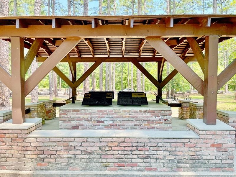
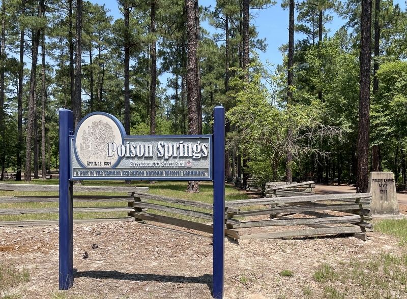
Location. 33° 38.332′ N, 93° 0.259′ W. Marker is near Chidester, Arkansas, in Ouachita County. Marker is on Arkansas Route 76, 1.2 miles west of County Road 100, on the right when traveling west. Located in Poison Springs Battleground State Park. Touch for map. Marker is at or near this postal address: 665 Hwy 76, Chidester AR 71726, United States of America. Touch for directions.
Other nearby markers. At least 8 other markers are within walking distance of this marker. The First Kansas (here, next to this marker); Federal Forage Party Departs Camden April 17, 1864 (here, next to this marker); The Civil War Battle of Poison Spring - April 18, 1864 (here, next to this marker); Order of Battle (here, next to this marker); Confederate and Federal Forces Engage (here, next to this marker); The Battle of Poison Springs. (a few steps from this marker); Ouachita County Poison Springs Battlefield (within shouting distance of this marker); Engagement at Poison Springs (within shouting distance of this marker). Touch for a list and map of all markers in Chidester.
Also see . . . Wikipedia article on the Poison Springs Battleground State Park. A Part of the Camden Expedition Sites National Historic Landmark. (Submitted on June 30, 2022, by Mark Hilton of Montgomery, Alabama.)
Credits. This page was last revised on June 30, 2022. It was originally submitted on June 30, 2022, by Mark Hilton of Montgomery, Alabama. This page has been viewed 87 times since then and 12 times this year. Photos: 1, 2, 3. submitted on June 30, 2022, by Mark Hilton of Montgomery, Alabama.


