Near Chidester in Ouachita County, Arkansas — The American South (West South Central)
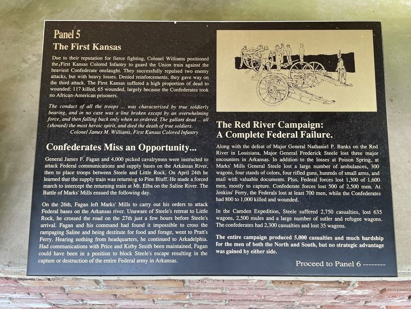
The First Kansas
— Panel 5 —
The conduct of all the troops... was characterized by true soldierly bearing, and in no case was a line broken except by an overwhelming force, and then falling back only when so ordered. The gallant dead... all (showed) the most heroic spirit, and died the death of true soldiers.
Colonel James M. Williams, First Kansas Colored Infantry
Confederates Miss an Opportunity...
General James F. Fagan and 4,000 picked cavalrymen were instructed to attack Federal communications and supply bases on the Arkansas River, then to place troops between Steele and Little Rock. On April 24th he learned that the supply train was returning to Pine Bluff. He made a forced march to intercept the returning train at Mt. Elba on the Saline River. The Battle of Marks' Mills ensued the following day.
On the 26th, Fagan left Marks' Mills to carry out his orders to attack Federal bases on the Arkansas river. Unaware of Steele's retreat to Little Rock, he crossed the road on the 27th just a few hours before Steele's arrival. Fagan and his command had found it impossible to cross the rampaging Saline and being destitute for food and forage, went to Pratt's Ferry. Hearing nothing from headquarters, he continued to Arkadelphia. Had communications with Price and Kirby Smith been maintained, Fagan could have been in a position to block Steele's escape resulting in the capture or destruction of the entire Federal army in Arkansas.
The Red River Campaign:
A Complete Federal Failure.
Along with the defeat of Major General Nathaniel P. Banks on the Red River in Louisiana, Major General Frederick Steele lost three major encounters in Arkansas. In addition to the losses at Poison Spring, at Marks' Mills General Steele lost a large number of ambulances, 300 wagons, four stands of colors, four rifled guns, hunreds [sic] of small arms, and mail with valuable documents. Plus, Federal forces lost 1,300 of 1,600 men, mostly to capture. Confederate forces lost 500 of 2,500 men. At Jenkins' Ferry, the Federals lost at least 700 men, while the Confederates had 800 to 1,000 killed and wounded.
In the Camden Expedition, Steele suffered 2,750 casualties, lost 635 wagons, 2,500 mules and a large number of sutler and refugee wagons. The confederates had 2,300 casualties and lost 35 wagons. The entire campaign produced 5,000 casualties and much hardship for the men of both the North and South, but no strategic advantage was gained by either side.
Proceed to Panel 6 -------
Topics. This historical marker is listed in this topic list: War, US Civil. A significant day of the year for for this entry is April 24.
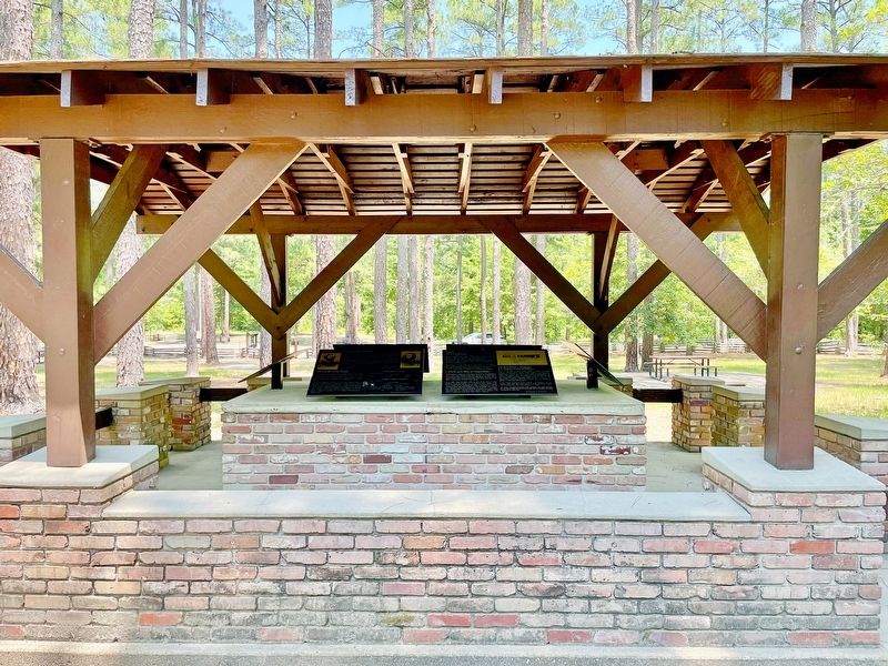
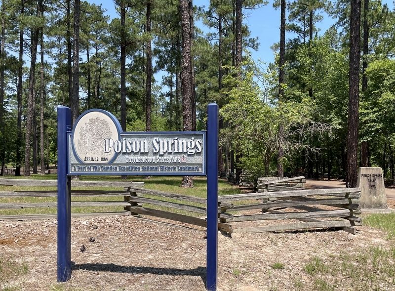
Location. 33° 38.333′ N, 93° 0.26′ W. Marker is near Chidester, Arkansas, in Ouachita County. Marker is on Arkansas Route 76, 1.2 miles west of County Road 100, on the right when traveling west. Located in Poison Springs Battleground State Park. Touch for map. Marker is at or near this postal address: 665 Hwy 76, Chidester AR 71726, United States of America. Touch for directions.
Other nearby markers. At least 8 other markers are within walking distance of this marker. Federal Forage Party Departs Camden April 17, 1864 (here, next to this marker); Forage Party Routed! (here, next to this marker); The Civil War Battle of Poison Spring - April 18, 1864 (here, next to this marker); Confederate and Federal Forces Engage (here, next to this marker); Order of Battle (here, next to this marker); The Battle of Poison Springs. (a few steps from this marker); Ouachita County Poison Springs Battlefield (within shouting
distance of this marker); Engagement at Poison Springs (within shouting distance of this marker). Touch for a list and map of all markers in Chidester.
Also see . . . Wikipedia article on the Poison Springs Battleground State Park. A Part of the Camden Expedition Sites National Historic Landmark. (Submitted on June 30, 2022, by Mark Hilton of Montgomery, Alabama.)
Credits. This page was last revised on June 30, 2022. It was originally submitted on June 30, 2022, by Mark Hilton of Montgomery, Alabama. This page has been viewed 90 times since then and 8 times this year. Photos: 1, 2, 3. submitted on June 30, 2022, by Mark Hilton of Montgomery, Alabama.


