Downtown in Columbus in Franklin County, Ohio — The American Midwest (Great Lakes)
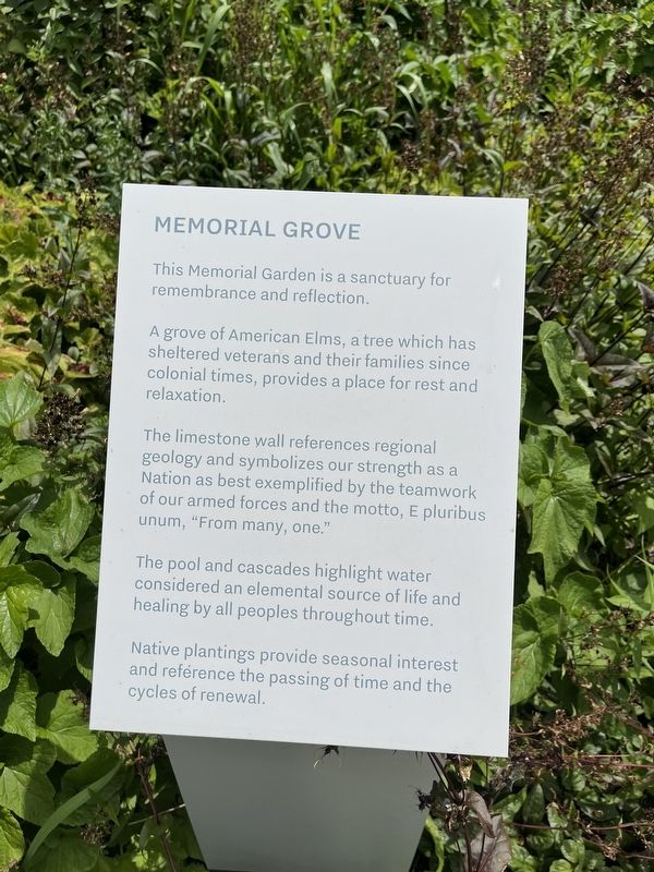
Memorial Grove
This Memorial Garden is a sanctuary for remembrance and reflection.
A grove of American Elms, a tree which has sheltered veterans and their families since colonial times, provides a place for rest and relaxation.
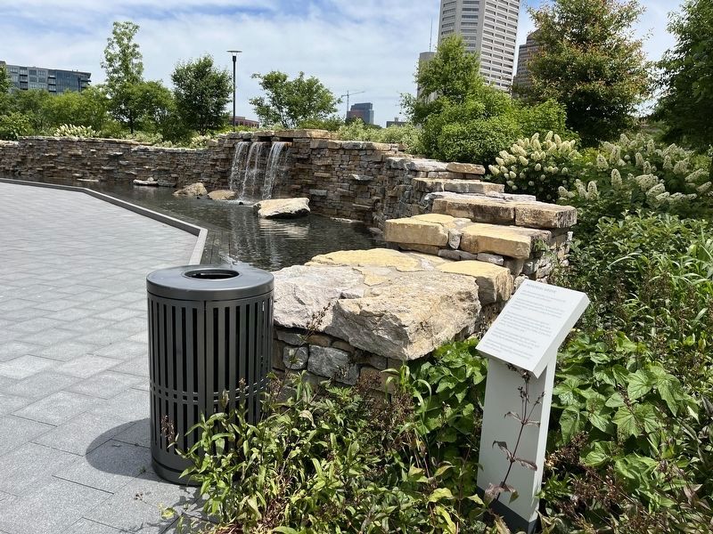
The limestone wall references regional geology and symbolizes our strength as a Nation as best exemplified by the teamwork of our armed forces and the motto, E pluribus unum, "From many, one."
The pool and cascade highlight water considered and elemental source of life and healing by all peoples throughout time.
Native plantings provide seasonal interest and reference the passing of the time and the cycles of renewal.
Topics. This memorial is listed in this topic list: Military.
Location. 39° 57.752′ N, 83° 0.498′ W. Marker is in Columbus, Ohio, in Franklin County. It is in Downtown. Memorial can be reached from Belle Street north of West Broad Street (U.S. 40), on the right when traveling north. Touch for map. Marker is at or near this postal address: 300 W Broad St, Columbus OH 43215, United States of America. Touch for directions.
Other nearby markers. At least 8 other markers are within walking distance of this marker. Purple Heart Memorial (a few steps from this marker); Soldiers Cross Memorial (within shouting distance of this marker); Memorial Bridge (about 500 feet away, measured in a direct line); World War Memorial Bridge (about 500 feet away); Celebration of Life (about 500 feet away); Scioto River Historical Marker (about 600 feet away); Evolution Of The Sioto River (about 700 feet away); Central High School (about 700 feet away). Touch for a list and map of all markers in Columbus.
Credits. This page was last revised on February 3, 2023. It was originally submitted on June 30, 2022, by Devry Becker Jones of Washington, District of Columbia. This page has been viewed 83 times since then and 12 times this year. Photos: 1, 2. submitted on June 30, 2022, by Devry Becker Jones of Washington, District of Columbia.

