Brielle in Monmouth County, New Jersey — The American Northeast (Mid-Atlantic)
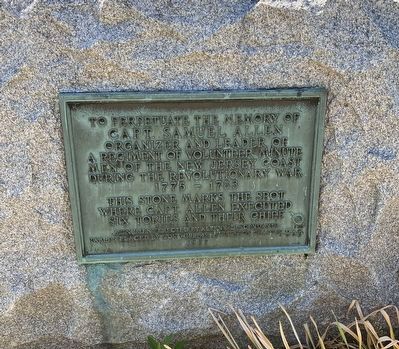
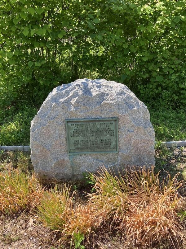
Captain Samuel Allen
Captain Samuel Allen
Organizer and leader of
a regiment of Volunteer Minute
Men of the New Jersey coast
during the Revolutionary War
1775 — 1783
This stone marks the spot
where Capt. Allen executed
six Tories and their chief.
Monument erected by Allen’s descendants
Tablet placed by Governor William Livingston Chapter DAR
1927
Erected 1927 by Governor William Livingston Chapter Daughters of the American Revolution (DAR).
Topics and series. This historical marker is listed in this topic list: War, US Revolutionary. In addition, it is included in the Daughters of the American Revolution series list. A significant historical year for this entry is 1775.
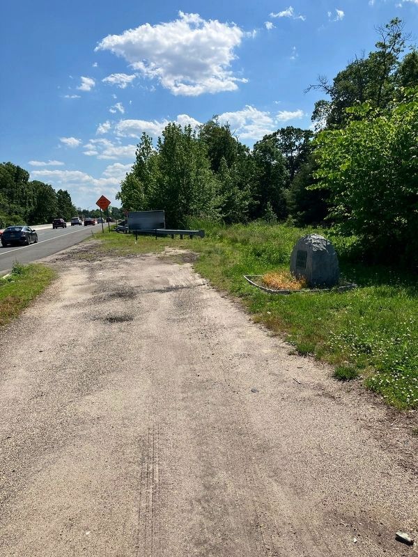
Location. 40° 6.225′ N, 74° 4.66′ W. Marker is in Brielle, New Jersey, in Monmouth County. Marker is on Mariners Bend (New Jersey Route 70) south of Morningstar Road, on the right when traveling south. Touch for map. Marker is at or near this postal address: 16 Mariners Bend, Manasquan NJ 08736, United States of America. Touch for directions.
Other nearby markers. At least 8 other markers are within 4 miles of this marker, measured as the crow flies. Van Wickle Pottery (approx. ¾ mile away); Manasquan Fire Bell (approx. 1.9 miles away); 1st Sgt. Leonard G. Lomell (approx. 2.1 miles away); Point Pleasant Beach World War I Memorial (approx. 2.1 miles away); “They Shall be Known by Their Deeds Alone” (approx. 3.4 miles away); Sea Girt Lighthouse (approx. 3½ miles away); 100th Anniversary of the Sea Girt Lighthouse (approx. 3½ miles away); Thomas Black 3rd (approx. 3½ miles away).
Credits. This page was last revised on May 3, 2023. It was originally submitted on July 2, 2022, by John Intile of Toms River, New Jersey. This page has been viewed 531 times since then and 90 times this year. Photos: 1. submitted on July 4, 2022, by John Intile of Toms River, New Jersey. 2. submitted on July 2, 2022, by John Intile of Toms River, New Jersey. 3. submitted on July 4, 2022, by John Intile of Toms River, New Jersey. • Michael Herrick was the editor who published this page.


