Superior in Douglas County, Wisconsin — The American Midwest (Great Lakes)
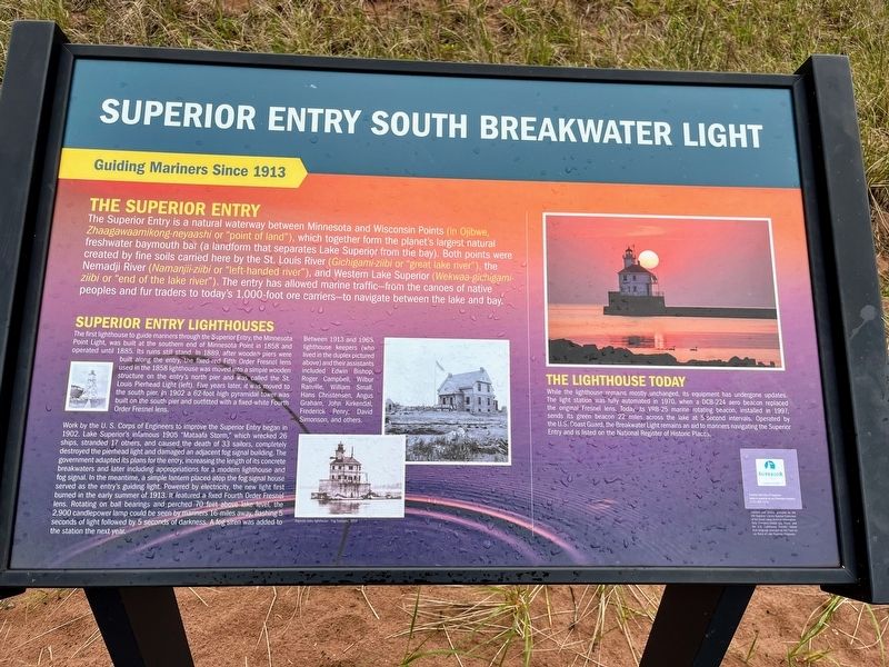
Superior Entry South Breakwater Light
Guiding Mariners Since 1913
The Superior Entry
The Superior Entry is a natural waterway between Minnesota and Wisconsin Points (in Ojibwe, Zhaagawaamikong-neyaashi or "point of land"), which together form the planet's largest natural freshwater baymouth bar (a landform that separates Lake Superior from the bay). Both points were created by fine soils carried here by the St. Louis River (Gichigami-ziibi or "great lake river"), the Nemadji River (Namanjii-ziibi or "left-handed river"), and Western Lake Superior (Wekwaa-gichigami-ziibi or "end of the lake river"). The entry has allowed marine traffic - from the canoes of native peoples and fur traders to today's 1,000-foot ore carriers - to navigate between the lake and bay.
Superior Entry Lighthouses
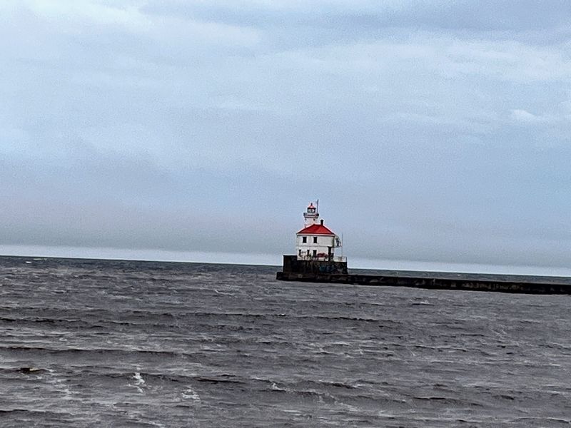
The first lighthouse to guide mariners through the Superior Entry, the Minnesota Point Light, was built at the southern end of Minnesota Point in 1858 and operated until 1885. Its ruins still stand. In 1889, after wooden piers were built along the entry, the fixed-red Fifth Order Fresnel lens used in the 1858 lighthouse was moved into a simple wooden structure on the entry's north pier and was called the St. Louis Pierhead Light (left). Five years later, it was moved to the south pier. In 1902 a 62-foot high pyramidal tower was built on the south pier and outfitted with a fixed-white Fourth Order Fresnel lens.
Work by the U.S. Corps of Engineers to improve the Superior Entry began in 1902. Lake Superior's infamous 1905 "Mataafa Storm," which wrecked 26 ships, stranded 17 others, and caused the death of 33 sailors, completely destroyed the pierhead light and damaged an adjacent fog signal building. The government adapted its plans for the entry, increasing the length of its concrete breakwaters and later including appropriations for a modern lighthouse and fog signal. In the meantime, a simple lantern placed atop the fog signal house served as the entry's guiding light. Powered by electricity, the new light first burned in the early summer of 1913. It featured a fixed Fourth Order Fresnel lens. Rotating on ball bearings and perched 70 feet above lake level, the 2,900 candlepower lamp could be seen by mariners 16-miles away, flashing 5 seconds of light followed by 5 seconds of darkness. A fog siren was added to the station the next year.
Between 1913 and 1965, lighthouse keepers (who lived in the duplex pictured above) and their assistants included Edwin Bishop, Roger Campbell, Wilbur Ranville, William Small, Hans Christensen, Angus Graham, John Kirkendal, Frederick Penry, David Simonson, and others.
The Lighthouse Today
While the lighthouse remains mostly unchanged, its equipment has undergone updates. The light station was fully automated in 1970, when a DCB-224 aero beacon replaced the original Fresnel lens. Today its VRB-25 marine rotating beacon, installed in 1997, sends its green beacon 22 miles across the lake at 5 second intervals. Operated by the U.S. Coast Guard, the Breakwater Light remains an aid to mariners navigating the Superior Entry and is listed on the National Register of Historic Places.
Erected by City of Superior.
Topics. This historical marker is listed in this topic list: Waterways & Vessels.
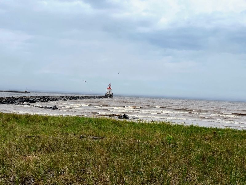
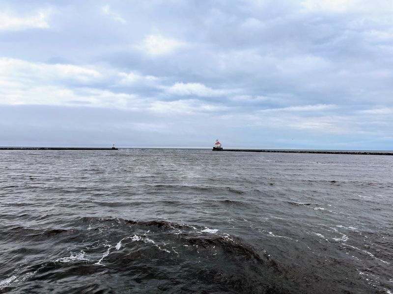
Location. 46° 42.345′ N, 92° 0.552′ W. Marker is in Superior, Wisconsin, in Douglas County. The marker lies near a parking lot on Wisconsin Point near the South Breakwater Light on the South Breakwater. Touch for map. Marker is at or near this postal address: Wisconsin Point Road, Superior WI 54880, United States of America. Touch for directions.
Other nearby markers. At least 8 other markers are within 3 miles of this marker, measured as the crow flies. Burial Ground of the Fond du Lac Band (approx. 0.2 miles away); The Superior Entry (approx. ¼ mile away); Burlington Northern Ore Docks (approx. 1.2 miles away); Lake Superior (approx. 1½ miles away); Old Stockade Site (approx. 2.1 miles away); Duluth-Superior Harbor (approx. 2.1 miles away); S.S. Meteor (approx. 2.8 miles away); Northwest Portal of Wisconsin (approx. 2.8 miles away). Touch for a list and map of all markers in Superior.
Credits. This page was last revised on July 5, 2022. It was originally submitted on July 4, 2022, by Devon Polzar of Port Washington, Wisconsin. This page has been viewed 133 times since then and 25 times this year. Photos: 1, 2, 3, 4, 5. submitted on July 4, 2022, by Devon Polzar of Port Washington, Wisconsin. • J. Makali Bruton was the editor who published this page.


