McCamey in Upton County, Texas — The American South (West South Central)
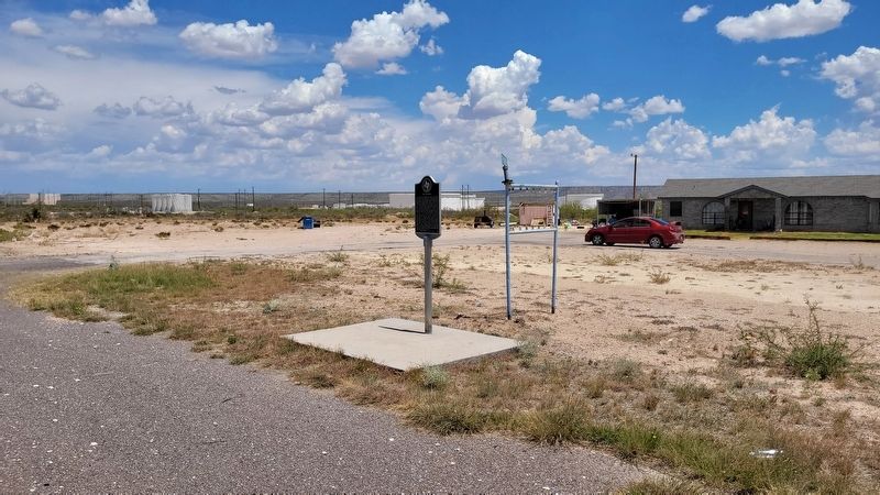
T.P. Tavern
Erected 2008 by Texas Historical Commission. (Marker Number 14304.)
Topics. This historical marker is listed in these topic lists: Architecture • Entertainment • Industry & Commerce. A significant historical year for this entry is 1927.
Location. 31° 8.681′ N, 102° 11.839′ W. Marker is in McCamey, Texas, in Upton County. Marker is at the intersection of U.S. 67 and East 5th Street, on the left when traveling west on U.S. 67. The marker is located along the highway at a small pullout. Touch for map. Marker is in this post office area: Mc Camey TX 79752, United States of America. Touch for directions.
Other nearby markers. At least 8 other markers are within 3 miles of this marker, measured as the crow flies. Early Humble Camp in Permian Basin (approx. 1.3 miles away); Mendoza Trail (approx. 1.3 miles away); King Mountain (approx. 1.3 miles away); Nancy Ethie Eagleton (approx. 1.7 miles away); McCamey Junior High School (approx. 1.8 miles away); The Little House on the Corner (approx. 1.8 miles away); McCamey (approx. 2.2 miles away); Bobcat Hills (West of Highway) (approx. 2.4 miles away). Touch for a list and map of all markers in McCamey.
Also see . . . McCamey, TX.
McCamey, on U.S. Highway 67 five miles east of the Pecos River in southwestern Upton County, developed almost overnight as a result of the discovery of oil nearby. In September 1925 wildcatter George B. McCamey brought in Baker No. 1. A Corpus Christi real estate firm, Burleson and Johns, with Lon McKinney, a man named Brooks, Taylor Emerson, and A. W. Carruthers, organized the original townsite company the day after the well came in. The town grew from a siding established on the Kansas City, Mexico and Orient Railway to supply the new field. George Port, land agent for the railroad, named the town. By 1926 seven major oil companies had leases in the surrounding area. Source: Texas State Historical Association - The Handbook of Texas(Submitted on July 4, 2022, by James Hulse of Medina, Texas.)
Credits. This page was last revised on July 4, 2022. It was originally submitted on July 4, 2022, by James Hulse of Medina, Texas. This page has been viewed 114 times since then and 10 times this year. Photos: 1, 2. submitted on July 4, 2022, by James Hulse of Medina, Texas.

