West Hempfield Township near Columbia in Lancaster County, Pennsylvania — The American Northeast (Mid-Atlantic)
Forry's Mill Bridge (1869)
Big Chiques #7
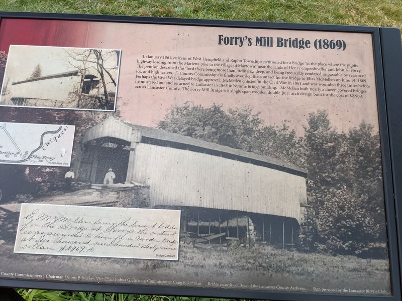
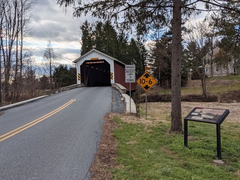
In January 1861, citizens of West Hempfield and Rapho Townships petitioned for a bridge "at the place where the public highway leading from the Marietta pike to the village of Maytown" near the lands of Henry Copenhoeffer and John K. Forry. Ihe petition described the "ford there being more than ordinarily deep, and being frequently rendered impassable by reason of ice, and high waters..." County Commissioners finally awarded the contract for the bridge to Elias McMellen on June 14, 1869. Perhaps the Civil War delayed bridge approval. McMellen enlisted in the Civil War in 1861 and was wounded three times before he mustered out and returned to Lancaster in 1865 to resume bridge building. McMellen built nearly a dozen covered bridges across Lancaster County. The Forry Mill Bridge is a single span wooden double arch design built for the cost of $2,969.
County Commissioners: Chairman Dennis P Stuckey, Vice Chair Joshua G. Parsons, Commissioner Craig E. Lehman Bridge records courtesy of the Lancaster County Archives. Sign provided by the Lancaster Bicycle Club
Erected by Lancaster Bicycle Club.
Topics and series. This historical marker is listed in these topic lists: Bridges & Viaducts • War, US Civil . In addition, it is included in the Covered Bridges series list. A significant historical date for this entry is June 14, 1869.
Location. 40° 3.982′ N, 76° 28.66′ W. Marker is near Columbia, Pennsylvania, in Lancaster County. It is in West Hempfield Township. Marker is on Bridge Valley Road, 0.1 miles west of Miller Drive, on the right when traveling west. Touch for map. Marker is in this post office area: Mount Joy PA 17552, United States of America. Touch for directions.
Other nearby markers. At least 8 other markers are within 3 miles of this marker, measured as the crow flies. Siegrist's Mill Bridge (approx. ¾ mile away); Ironville Fire Company (approx. 1.1 miles away); Chestnut Hill Iron Ore Company (approx. 1.7 miles away); Trolleys (approx. 2.3 miles away); Free African Communities in Columbia (approx. 2.4 miles away); History of Zion Hill Cemetery (approx. 2.4 miles away); Doctress Hannah Bosley (approx. 2.4 miles away); William Baker / Harriet Ann (Cole) Baker (approx. 2.4 miles away). Touch for a list and map of all markers in Columbia.
Credits. This page was last revised on February 7, 2023. It was originally submitted on January 18, 2021, by William Pope of Marietta, Pennsylvania. This page has been viewed 182 times since then and 17 times this year. Last updated on July 4, 2022, by William Pope of Marietta, Pennsylvania. Photos: 1, 2. submitted on January 18, 2021, by William Pope of Marietta, Pennsylvania. • Devry Becker Jones was the editor who published this page.
Editor’s want-list for this marker. A close-up photo of the complete marker. • Can you help?

