McCamey in Upton County, Texas — The American South (West South Central)
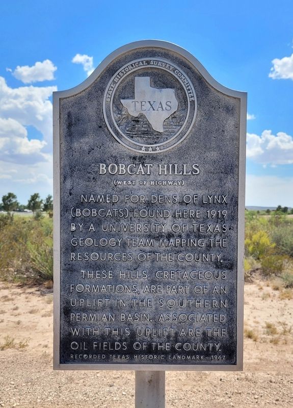
Bobcat Hills (West of Highway)
Erected 1967 by State Historical Survey Committee. (Marker Number 444.)
Topics. This historical marker is listed in these topic lists: Animals • Education • Industry & Commerce. A significant historical year for this entry is 1919.
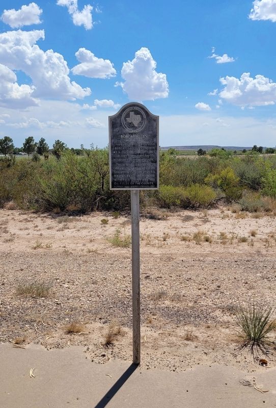
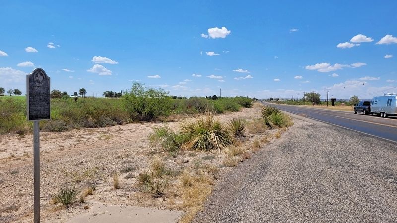
Location. 31° 6.747′ N, 102° 12.662′ W. Marker is in McCamey, Texas, in Upton County. Marker is at the intersection of State Highway 305 and Medical Drive, on the right when traveling south on State Highway 305. The marker is located along a roadside pullout. Touch for map. Marker is in this post office area: Mc Camey TX 79752, United States of America. Touch for directions.
Other nearby markers. At least 8 other markers are within 3 miles of this marker, measured as the crow flies. The Little House on the Corner (approx. 1.2 miles away); McCamey Junior High School (approx. 1.2 miles away); Nancy Ethie Eagleton (approx. 1.6 miles away); King Mountain (approx. 1.8 miles away); Mendoza Trail (approx. 1.8 miles away); Early Humble Camp in Permian Basin (approx. 1.8 miles away); T.P. Tavern (approx. 2.4 miles away); McCamey (approx. 2.9 miles away). Touch for a list and map of all markers in McCamey.
Credits. This page was last revised on July 5, 2022. It was originally submitted on July 4, 2022, by James Hulse of Medina, Texas. This page has been viewed 135 times since then and 18 times this year. Photos: 1, 2, 3. submitted on July 5, 2022, by James Hulse of Medina, Texas.


