Fort Stockton in Pecos County, Texas — The American South (West South Central)
Pecos County Fort Stockton Renewable Energy Park
Inscription.
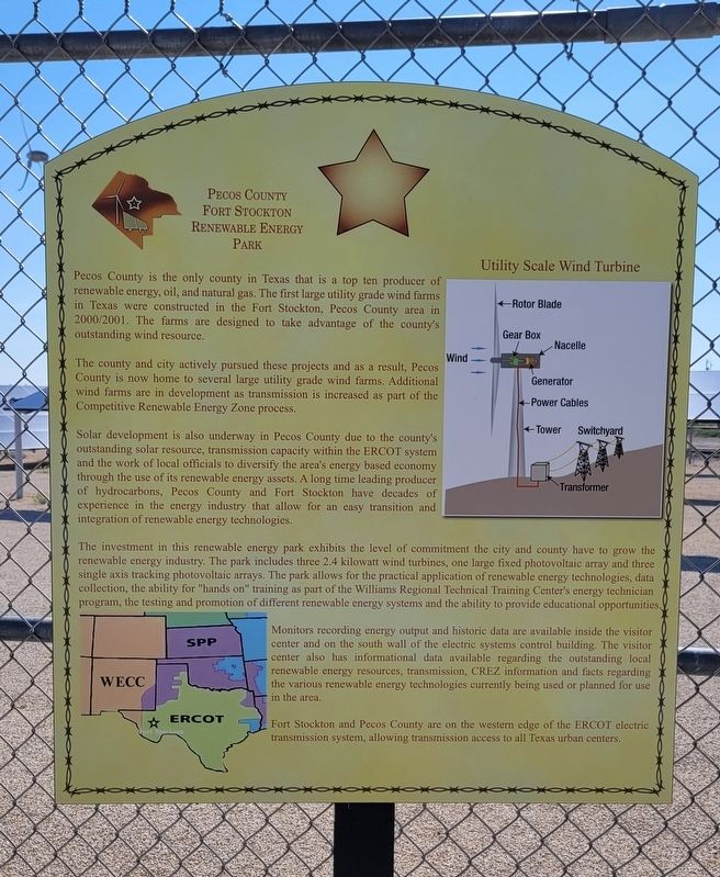
Pecos County is the only county in Texas that is a top ten producer of renewable energy, oil, and natural gas. The first large utility grade wind farms in Texas were constructed in the Fort Stockton, Pecos County area in 2000/2001. The farms are designed to take advantage of the county's outstanding wind resource.
The county and city actively pursued these projects and as a result, Pecos County is now home to several large utility grade wind farms. Additional wind farms are in development as transmission is increased as part of the Competitive Renewable Energy Zone process.
Solar development is also underway in Pecos County due to the county's outstanding solar resource, transmission capacity within the ERCOT system and the work of local officials to diversify the area's energy based economy through the use of its renewable energy assets. A long time leading producer of hydrocarbons, Pecos County and Fort Stockton have decades of experience in the energy industry that allow for an easy transition and integration of renewable energy technologies.
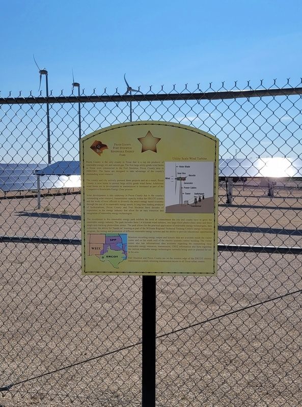
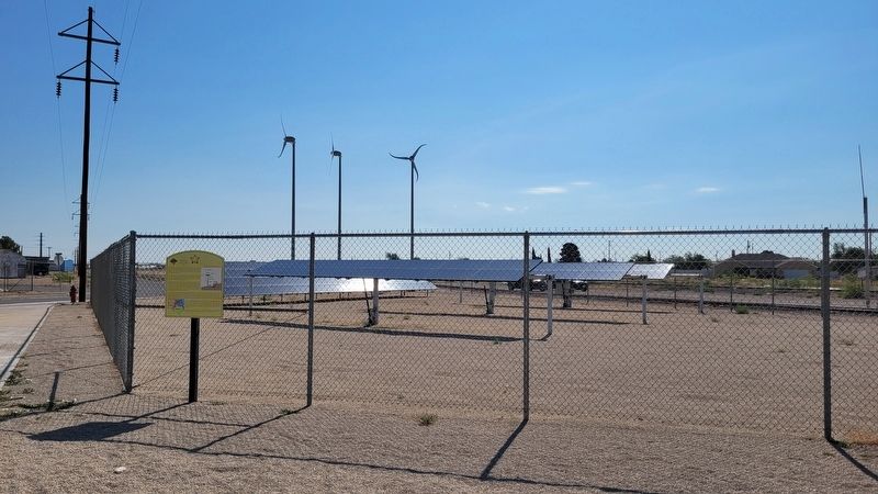
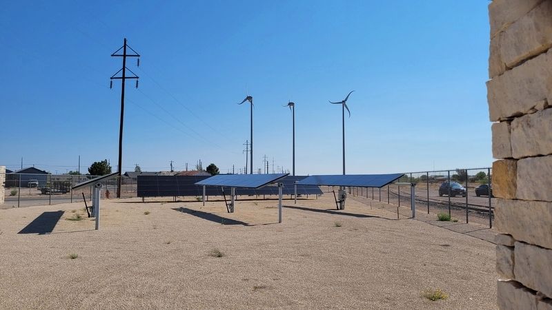
The investment in this renewable energy park exhibits the level of commitment the city and county have to grow the renewable energy industry. The park includes three 2.4 kilowatt wind turbines, one large fixed photovoltaic array and three single axis tracking photovoltaic arrays. The park allows for the practical application of renewable energy technologies, data collection, the ability for "hands on" training as part of the Williams Regional Technical Training Center's energy technician program, the testing and promotion of different renewable energy systems and the ability to provide educational opportunities,
Monitors recording energy output and historic data are available inside the visitor center and on the south wall of the electric systems control building. The visitor center also has informational data available regarding the outstanding local renewable energy resources, transmission, CREZ information and facts regarding the various renewable energy technologies currently being used or planned for use in the area.
Fort Stockton and Pecos County are on the western edge of the ERCOT electric transmission system, allowing transmission access to all Texas urban centers.
Erected by Fort Stockton Convention & Visitors Bureau.
Topics. This historical marker is listed in these topic lists: Environment • Industry & Commerce.
Location. 30° 53.681′ N, 102° 52.706′ W. Marker is in Fort Stockton, Texas, in Pecos County. Marker can be reached from the intersection of Railroad Avenue and East
11th Street. The marker is located at the northeast section of the Fort Stockton Visitor Center by the solar cells. Touch for map. Marker is at or near this postal address: 1000 Railroad Avenue, Fort Stockton TX 79735, United States of America. Touch for directions.
Other nearby markers. At least 8 other markers are within walking distance of this marker. The 9th Cavalry, Fort Stockton and Edward Hatch (here, next to this marker); Comanche Springs (within shouting distance of this marker); The Great Comanche War Trail (within shouting distance of this marker); Visitor Center (within shouting distance of this marker); Oil and Gas Industry in Pecos County (about 300 feet away, measured in a direct line); The "Prairie Schooner" and Early Settlers (about 300 feet away); Downtown Fort Stockton (about 800 feet away); Old Fort Cemetery (approx. 0.2 miles away). Touch for a list and map of all markers in Fort Stockton.
Also see . . . Renewable energy. Wikipedia (Submitted on July 6, 2022, by James Hulse of Medina, Texas.)
Credits. This page was last revised on July 6, 2022. It was originally submitted on July 5, 2022, by James Hulse of Medina, Texas. This page has been viewed 88 times since then and 21 times this year. Photos: 1, 2, 3, 4. submitted on July 6, 2022, by James Hulse of Medina, Texas.


