Fort Stockton in Pecos County, Texas — The American South (West South Central)
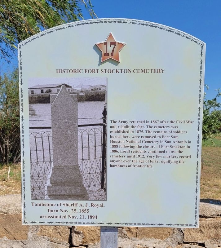
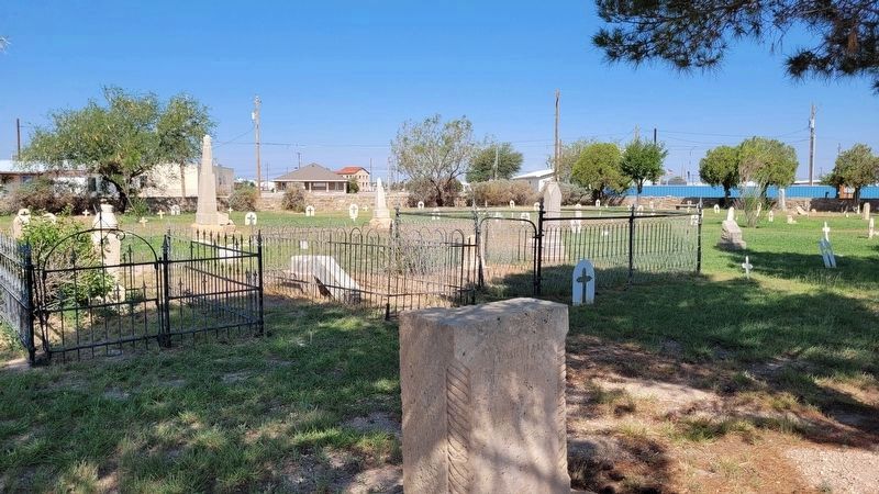
Historic Fort Stockton Cemetery
Caption
Tombstone of Sheriff A.J .Royal, born Nov. 25, 1855 assassinated Nov. 21, 1894
Erected by Historic Ft. Stockton Driving Tour. (Marker Number 17.)
Topics. This historical marker is listed in these topic lists: Cemeteries & Burial Sites • Forts and Castles. A significant historical date for this entry is October 25, 1855.
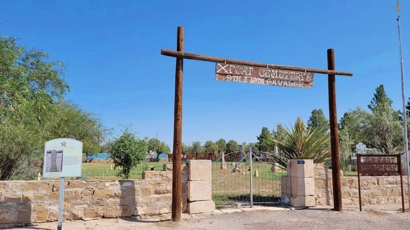
Location. 30° 53.497′ N, 102° 52.688′ W. Marker is in Fort Stockton, Texas, in Pecos County. Marker is at the intersection of North Water Street and East 8th Street on North Water Street. The marker is located at the left side of the front entrance to the cemetery. Touch for map. Marker is in this post office area: Fort Stockton TX 79735, United States of America. Touch for directions.
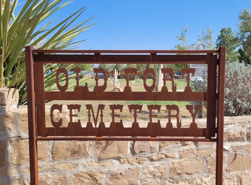
Other nearby markers. At least 8 other markers are within walking distance of this marker. Old Fort Cemetery (a few steps from this marker); Downtown Fort Stockton (about 500 feet away, measured in a direct line); The "Prairie Schooner" and Early Settlers (about 800 feet away); Oil and Gas Industry in Pecos County (approx. 0.2 miles away); Visitor Center (approx. 0.2 miles away); Comanche Springs (approx. 0.2 miles away); The 9th Cavalry, Fort Stockton and Edward Hatch (approx. 0.2 miles away); Pecos County Fort Stockton Renewable Energy Park (approx. 0.2 miles away). Touch for a list and map of all markers in Fort Stockton.
Also see . . .
1. A.J. Royal – One Bad Pecos County Sheriff. Legends of America (Submitted on July 6, 2022, by James Hulse of Medina, Texas.)
2. Historic Fort Stockton Texas. Historic Fort Stockton (Submitted on July 6, 2022, by James Hulse of Medina, Texas.)
Credits. This page was last revised on July 6, 2022. It was originally submitted on July 5, 2022, by James Hulse of Medina, Texas. This page has been viewed 126 times since then and 29 times this year. Photos: 1, 2, 3, 4. submitted on July 6, 2022, by James Hulse of Medina, Texas.


