Piapot in Piapot No. 110, Saskatchewan — The Prairie Region (North America)
The Lister-Kaye Enterprises
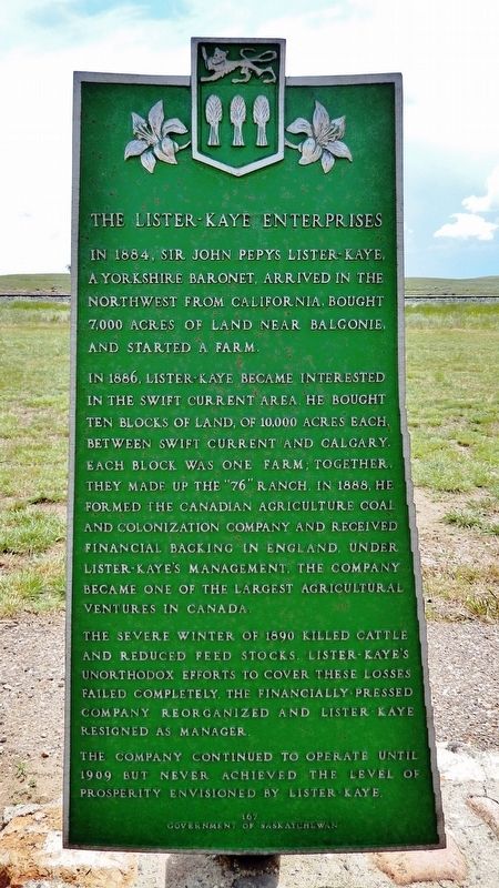
In 1884, Sir John Pepys Lister-Kay, a Yorkshire Baronet, arrived in the Northwest from California, bought 7,000 acres of land near Balgonie, and started a farm.
In 1886, Lister-Kaye became interested in the Swift Current area. He bought ten blocks of land, of 10,000 acres each, between Swift Current and Calgary. Each block was one farm; together, they made up the “76” Ranch. In 1888, he formed the Canadian Agriculture Coal and Colonization Company and received financial backing in England. Under Lister-Kaye’s management, the company became one of the largest agricultural ventures in Canada.
The severe winter of 1890 killed cattle and reduced feed stocks. Lister-Kaye’s unorthodox efforts to cover these losses failed completely. The financially-pressed company reorganized and Lister-Kaye resigned as manager.
The company continued to operate until 1909 but never achieved the level of prosperity envisioned by Lister-Kaye.
Erected by The Government of Saskatchewan. (Marker Number 167.)
Topics. This historical marker is listed in these topic lists: Agriculture • Industry & Commerce • Settlements & Settlers. A significant historical year for this entry is 1884.
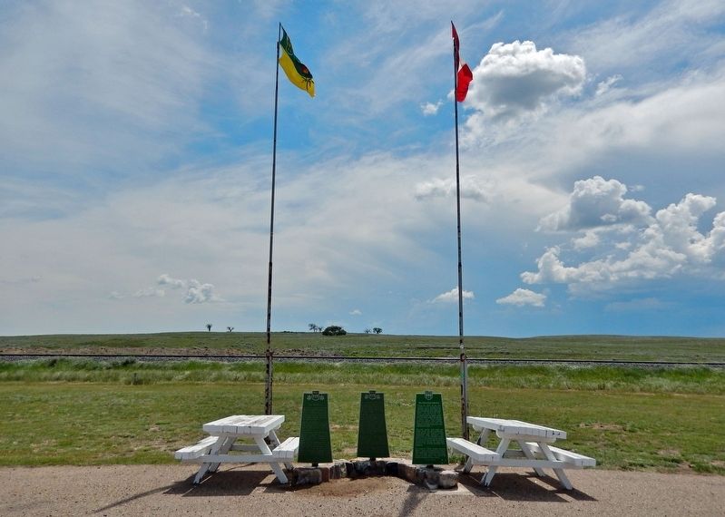
Location. 50° 1.094′ N, 109° 4.12′ W. Marker is in Piapot, Saskatchewan, in Piapot No. 110. Marker is on Trans-Canada Highway (Provincial Highway 1) 4.6 kilometers east of Provincial Road 614, on the right when traveling east. Marker is located at the Trans-Canada Highway Piapot Rest Stop. Touch for map. Marker is at or near this postal address: 7820 SK-1, Piapot SK S0N 1Y0, Canada. Touch for directions.
Other nearby markers. At least 2 other markers are within walking distance of this marker. The "76" Ranch (here, next to this marker); The Ranching Industry (here, next to this marker).
Related markers. Click here for a list of markers that are related to this marker.
Also see . . . The Lister-Kaye Farms. Roots Web entry:
The Lister Kaye farm project is also, we believe, the biggest project of its kind that ever was planned. It comprised 100,000 acres bought from the government and the C. P. R. and eighty thousand acres from the Powder River Ranch Co. situated between Mosquito Creek and the Little Bow River, but they were spread over a line of country hundreds of miles long in sections of ten thousand acres. The scheme was, briefly, to establish farms, and sell them ready broken and stocked to settlers, presumably from England.(Submitted on July 8, 2022, by Cosmos Mariner of Cape Canaveral, Florida.)

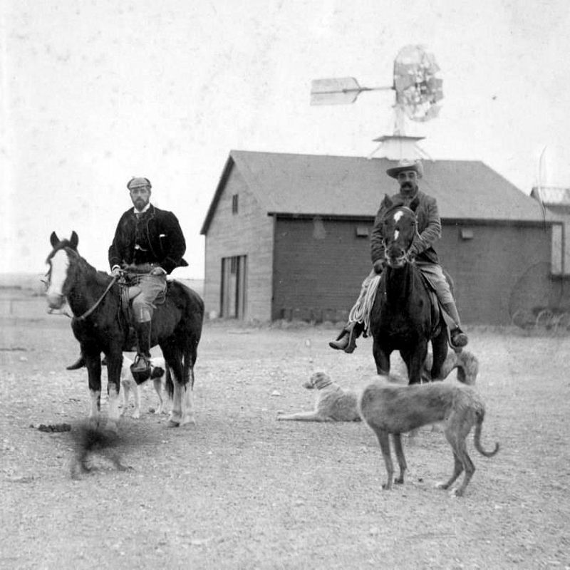
Photographed By Larry Gertner, 1944
2. The 76 Ranch
Canadian History Ehx website entry
Click for more information.
Click for more information.
Credits. This page was last revised on August 24, 2022. It was originally submitted on July 8, 2022, by Cosmos Mariner of Cape Canaveral, Florida. This page has been viewed 165 times since then and 31 times this year. Photos: 1. submitted on July 8, 2022, by Cosmos Mariner of Cape Canaveral, Florida. 2. submitted on August 24, 2022, by Larry Gertner of New York, New York. 3. submitted on July 8, 2022, by Cosmos Mariner of Cape Canaveral, Florida.

