San Felipe in Austin County, Texas — The American South (West South Central)
The Burning of San Felipe
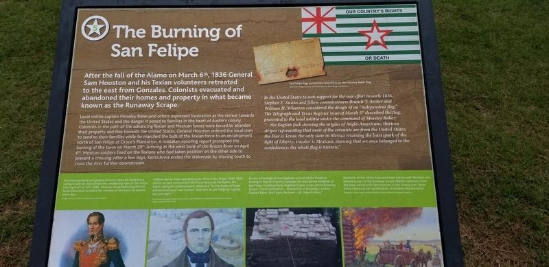
After the fall of the Alamo on March 6th, 1836 General Sam Houston and his Texian volunteers retreated to the east from Gonzales. Colonists evacuated and abandoned their homes and property in what became known as the Runaway Scrape.
Local militia captain Moseley Baker and others expressed frustration at the retreat towards the United States and the danger it posed to families in the heart of Austin's colony. Colonists in the path of the advancing Texian and Mexican forces were forced to abandon their property and flee towards the United States. General Houston ordered the local men to tend to their families while he marched the bulk of the Texian force to an encampment north of San Felipe at Groce's Plantation. A mistaken scouting report prompted the burning of the town on March 29th. Arriving at the west bank of the Brazos River on April 6th, Mexican soldiers fired on the Texians who had taken position on the other side to prevent a crossing. After a few days, Santa Anna ended the stalemate by moving south to cross the river further downstream.
Captions
San Felipe flag, sometimes referred to as the Mosley Baker Flag
In the United States to seek support for the war effort in early 1836, Stephen F. Austin and fellow commissioners Branch T. Archer and William H. Wharton considered the design of an "independent flag". The Telegraph and Texas Register issue of March 5th described the flag, presented to the local militia under the command of Moseley Baker: "...the English Jack showing the origins of Anglo-Americans, thirteen stripes representing that most of the colonists are from the United States; the Star is Texas, the only state in Mexico retaining the least spark of the light of Liberty; tricolor is Mexican, showing that we once belonged to the confederacy; the whole flag is historic."
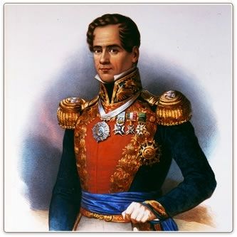
Mexican president and general Antonio Lopez de Santa Anna camped with his men amidst the smoldering ruins of San Felipe from April 6 to 10, 1836. Mexican troops following behind Santa Anna then occupied the remains of the town for several more days.
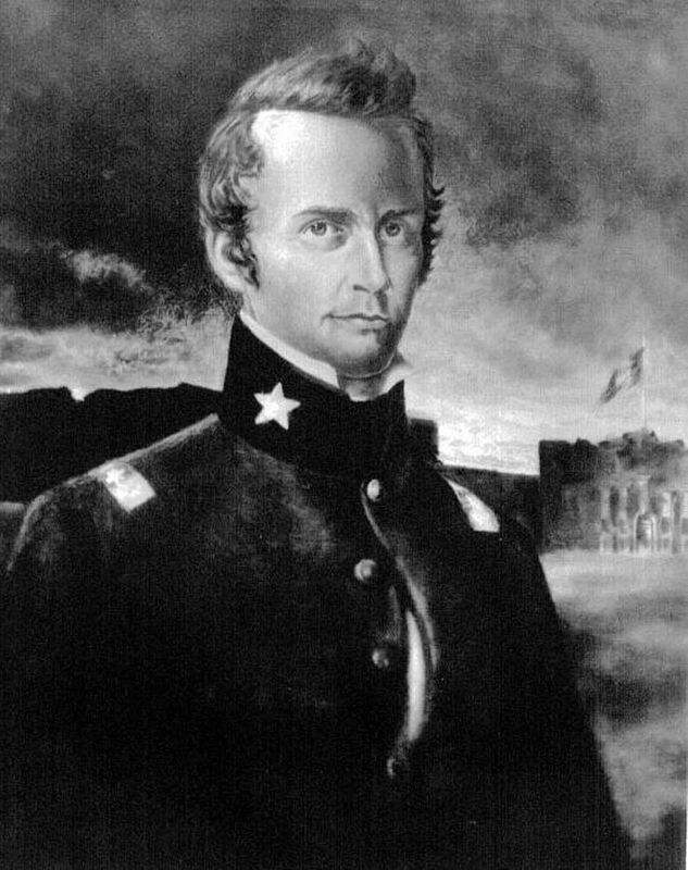
William Barret Travis operated a law office in San Felipe, 1833-1836, before he took command of the Texian forces at the Alamo. His letter calling for reinforcements addressed "To the People of Texas and All Americans" was marked "Send this to San Felipe by express day and night."
Recent archeological investigations uncovered the fireplace footing to Peyton's Tavern, a popular inn that served residents of San Felipe including Travis. Angelina Peyton wrote of the Runaway Scrape: "Great commotion - destruction of property - said to Captain Baker, don't burn the town - all I have is there."
Residents
of San Felipe evacuated their homes and the town was burned as part of the Runaway Scrape. Militia volunteers from the town served with Sam Houston in the victory over Santa Anna's forces at San Jacinto (east of modern-day Houston). (Marker Number 5.)
Topics. This historical marker is listed in this topic list: War, Texas Independence. A significant historical date for this entry is March 6, 1836.
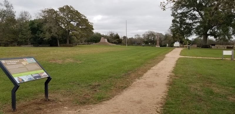
Location. 29° 48.434′ N, 96° 5.911′ W. Marker is in San Felipe, Texas, in Austin County. Marker can be reached from Farm to Market Road 1458, 0.1 miles north of Park Road 38. The historical marker is located in the San Felipe de Austin State Historic Site. Touch for map. Marker is in this post office area: San Felipe TX 77473, United States of America. Touch for directions.
Other nearby markers. At least 8 other markers are within walking distance of this marker. Toward Revolution (here, next to this marker); A Town Hall (a few steps from this marker); J.J. Josey General Store (within shouting distance of this marker); Austin's Colony: First Colony in Mexican Texas (within shouting distance of this marker); Stephen F. Austin, Father of Texas (within shouting distance of this marker); Remembering San Felipe de Austin (within shouting distance of this marker); San Felipe de Austin Town Site (within shouting distance of this marker); San Felipe de Austin Colonial Well (within shouting distance of this marker). Touch for a list and map of all markers in San Felipe.
Also see . . .
1. Runaway Scrape. The term Runaway Scrape was the name Texans applied to the flight from their homes when Antonio López de Santa Anna began his attempted conquest of Texas in February 1836. Source: The Handbook of Texas (Submitted on December 20, 2020, by James Hulse of Medina, Texas.)
2. Antonio Lopez de Santa Anna (1794–1876). In 1836 he marched north with his forces to play his controversial role in the Texas Revolution. Source: The Handbook of Texas (Submitted on December 20, 2020, by James Hulse of Medina, Texas.)
3. William Barret Travis. As the Mexican forces advanced to San Antonio, William Travis led the preparation of the Alamo for the anticipated battle against Santa Anna’s men. Travis and his garrison were vastly outnumbered and significant reinforcements were not to arrive in time for the engagement. Nonetheless, Travis led the valiant defense of the Alamo until his death by gunshot during battle. Source: The Handbook of Texas (Submitted on December 20, 2020, by James Hulse of Medina, Texas.)
Credits. This page was last revised on July 12, 2022. It was originally submitted on December 20, 2020, by James Hulse of Medina, Texas. This page has been viewed 397 times since then and 72 times this year. Last updated on July 11, 2022, by Joe Lotz of Denton, Texas. Photos: 1, 2, 3, 4. submitted on December 20, 2020, by James Hulse of Medina, Texas. • J. Makali Bruton was the editor who published this page.


