Panhandle in Carson County, Texas — The American South (West South Central)
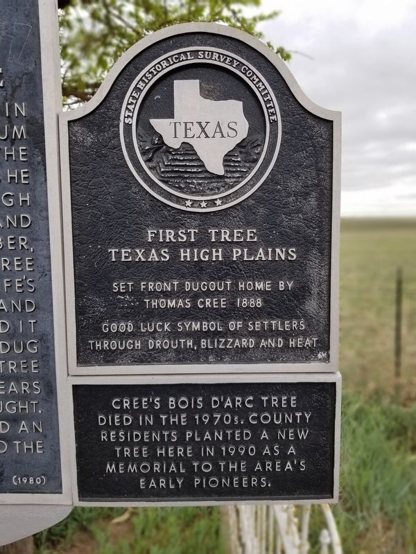
First Tree Texas High Plains
First tree Texas High Plains, set front dugout home by Thomas Cree 1888. Good luck symbol of settlers through drouth, blizzard and heat.
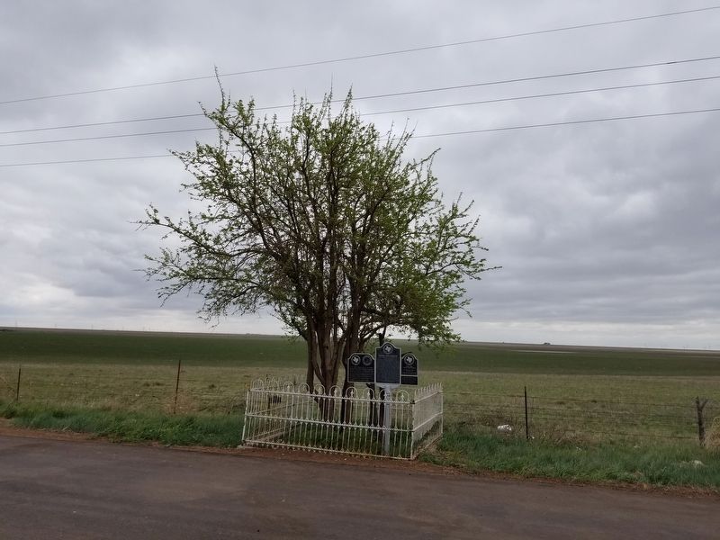
Cree's bois d'arc tree died in the 1970s. County residents planted a new tree here in 1990 as a memorial to the area's early pioneers.
Erected 1963 by State Historical Survey Committee. (Marker Number 1878.)
Topics. This historical marker is listed in these topic lists: Horticulture & Forestry • Settlements & Settlers.
Location. 35° 18.638′ N, 101° 27.686′ W. Marker is in Panhandle, Texas, in Carson County. Marker is on Route 60, 4.9 miles west of Highway 207, on the left when traveling west. Touch for map. Marker is in this post office area: Panhandle TX 79068, United States of America. Touch for directions.
Other nearby markers. At least 8 other markers are within 6 miles of this marker, measured as the crow flies. 33rd Anniversary National Convention (here, next to this marker); Thomas Cree Homesite (here, next to this marker); Quanah Parker Trail (approx. 5 miles away); Oldest Bank in the Texas Panhandle (approx. 5.1 miles away); The John F. Weatherlys (approx. 5.1 miles away); Callaghan Memorial Library (approx. 5.1 miles away); Old County Bookmobile (approx. 5.1 miles away); Carson County (approx. 5.1 miles away). Touch for a list and map of all markers in Panhandle.
Credits. This page was last revised on July 13, 2022. It was originally submitted on May 11, 2020, by Allen Lowrey of Amarillo, Texas. This page has been viewed 383 times since then and 51 times this year. Last updated on July 11, 2022, by Joe Lotz of Denton, Texas. Photos: 1, 2. submitted on May 11, 2020, by Allen Lowrey of Amarillo, Texas. • J. Makali Bruton was the editor who published this page.

